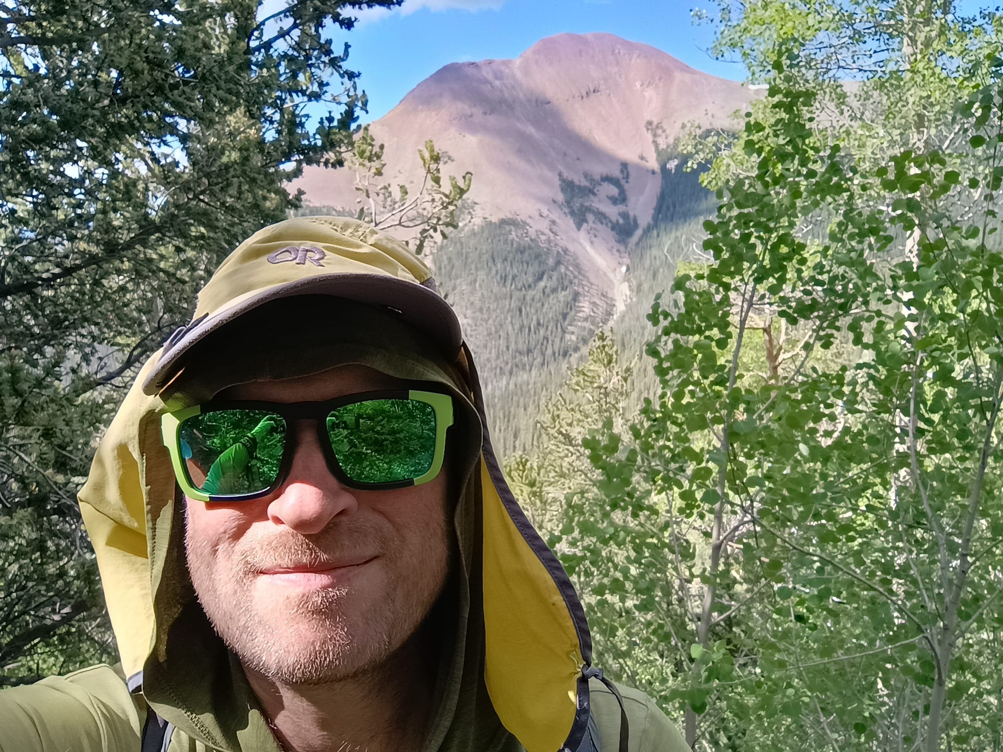
Ouachita Trail Trip Report
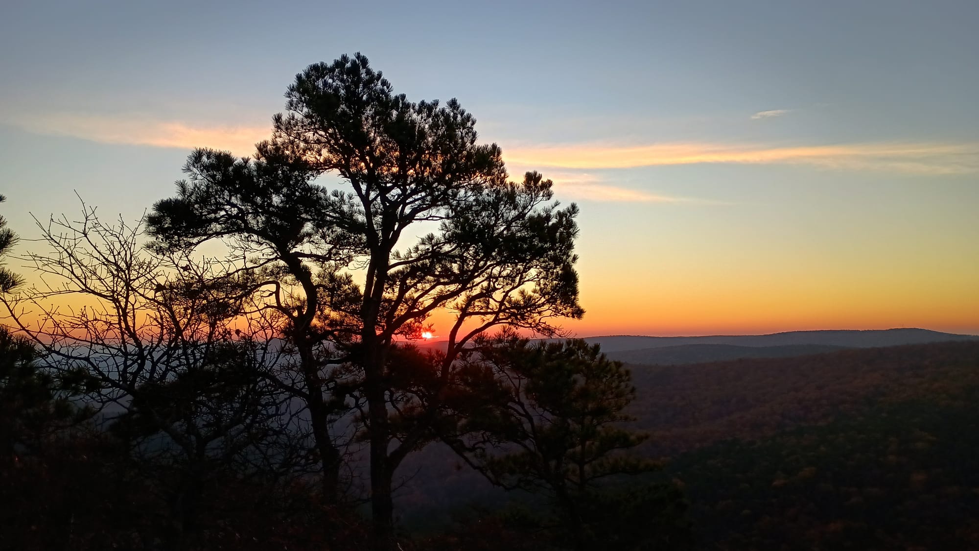
If you had read this post you will have known the general plan for my thru hike of the Ouachita trail was broken into two parts - a group trip and a solo trip. The group trip was to start Saturday November 23 from Pinnacle Mountain State Park and hike westbound for ~52 miles. After completion of that trip and a break for Thanksgiving, I would resume on my own on November 29 to complete the trail. As the saying goes, no plan survives first contact with the enemy.......
Changes
The first change occurred while driving to our intended start point on November 22. Lori Carley of Blue Bell Cafe (our shuttle/logistics contact) called to tell us that the trail head we had intended to park at (and where she would pick us up) was not accessible due to road conditions following the heavy rains in October and early November. The Scout youth crew leader discussed options in depth with Lori, and the two settled on a different plan: to have her pick us up at the end of the trip rather than shuttle us at the beginning, and to have the pick up point moved west by 8 miles to a major road crossing. No big deal. That change actually made logistics easier for me for part 2 of the trip, as well as part 2 being 8 miles shorter.
The second change occurred on Sunday November 24th - the second day of the Scout's trip. One of the youth participants sprained his ankle. This necessitated cutting the backpacking trip short (and substituting other activities for those days). Of the 60ish miles the Scouts were going to do, they ended up doing just 16.
In preparation for part 2 I had previously mailed resupply caches to both Blue Bell Cafe and Queen Wilhelminia Lodge (QWL). Those caches contemplated an itinerary with a certain number of days. I could not easily change part 2 of my plan to pick up where the Scouts ended (mile 16) so I decided I would need to accomplish miles 16-60 on a future trip. I decided to start my trip at the road crossing that Lori and the youth crew leader had agreed upon. The new plan would be 1/2 day shorter than my original plan.
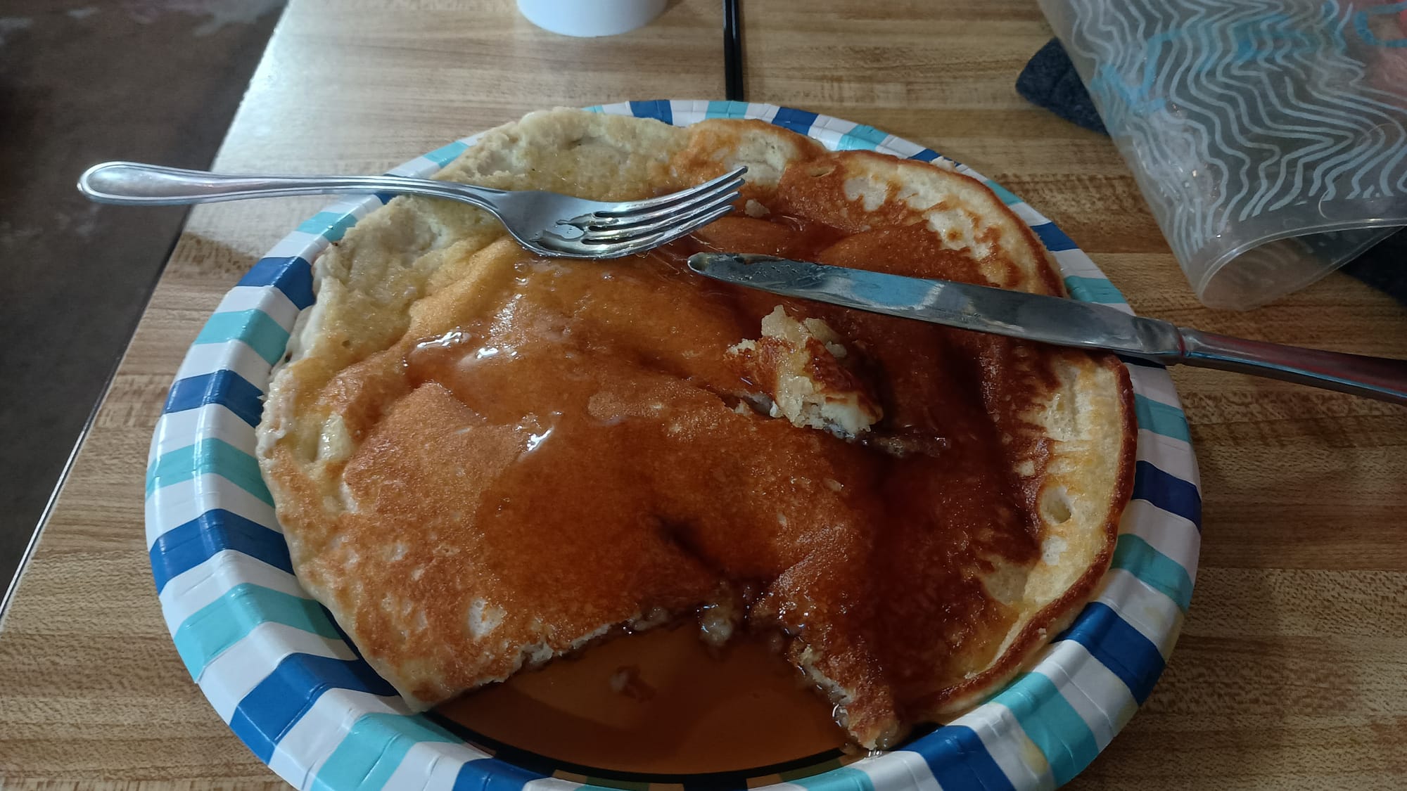
Day 1: Route 7 to Big Bear Shelter, 11 miles, 1850' ascent, 1750' decent. I am going to forego discussion on the Scout portion of the trip (since it was so short) and instead just cover the solo portion. Following Thanksgiving dinner I drove to Story, Arkansas and cowboy camped behind the Blue Bell Cafe. Not sure how cold it got Thursday night, but I had frost on my overquilt when I got up. Friday morning I had a pancake breakfast before being shuttled by Lori's driver to the Route 7 trailhead. I was on the trail by 8:15 am.
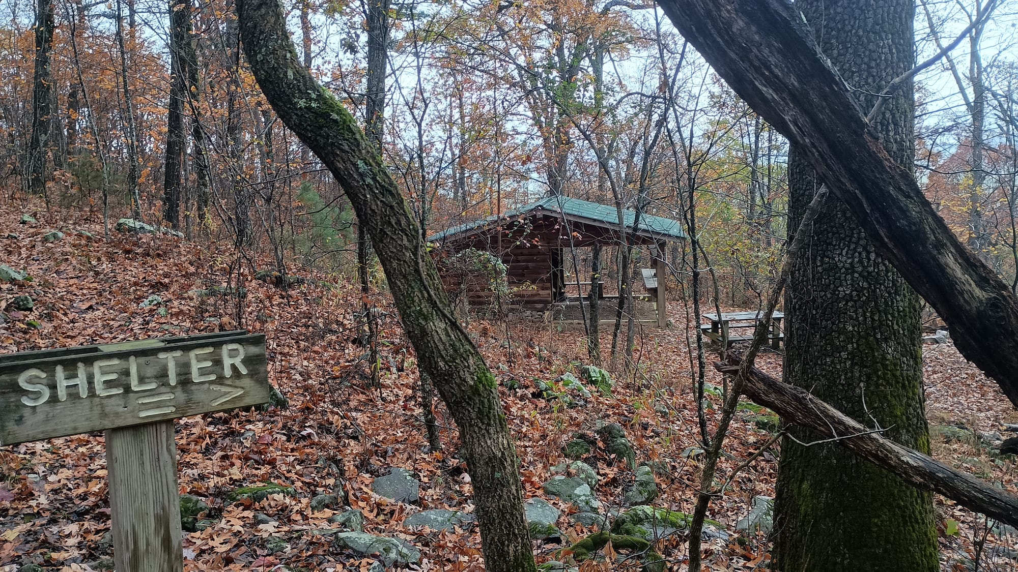
Not knowing how difficult the trail would be, or when I would hit the trail, I planned conservatively for the first day. I reached Big Bear Shelter early (12:15 pm), which allowed me to dry out my overquilt. The trail was rather easy, with several sections being old logging roads. The floored porch section of this shelter was a fabulous feature. It allowed me to walk barefoot between the sleeping area and the stand-up table section for food preparation. All of the shelters I encountered on the OT had the porch section with the standing table, but not all had the wooden floor. (Some had gravel floors.)
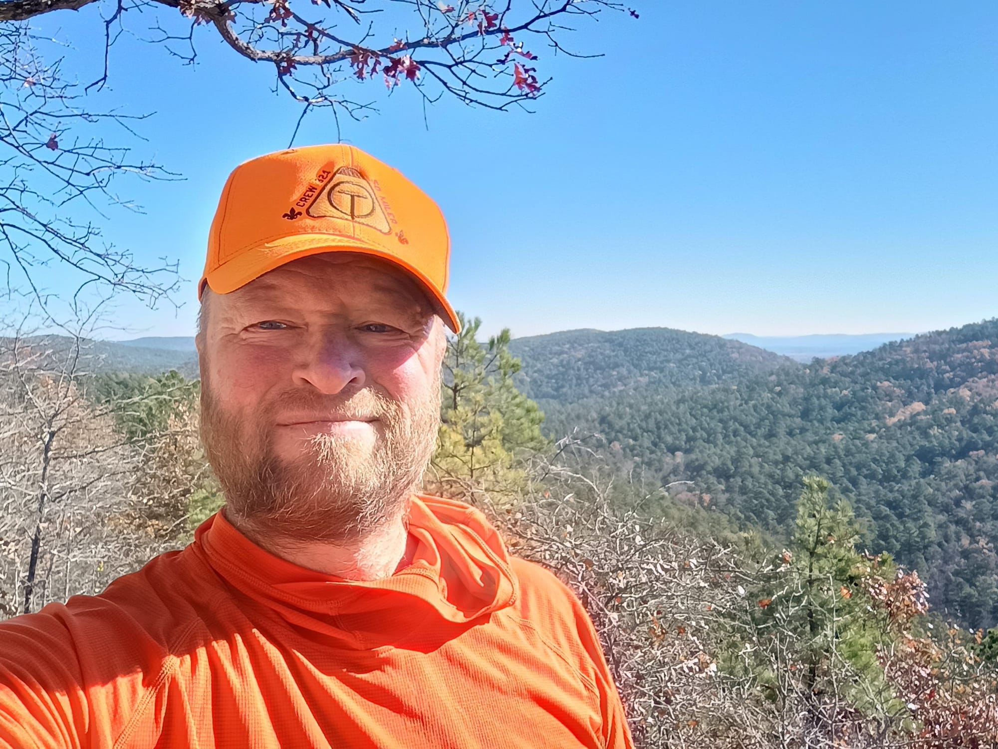
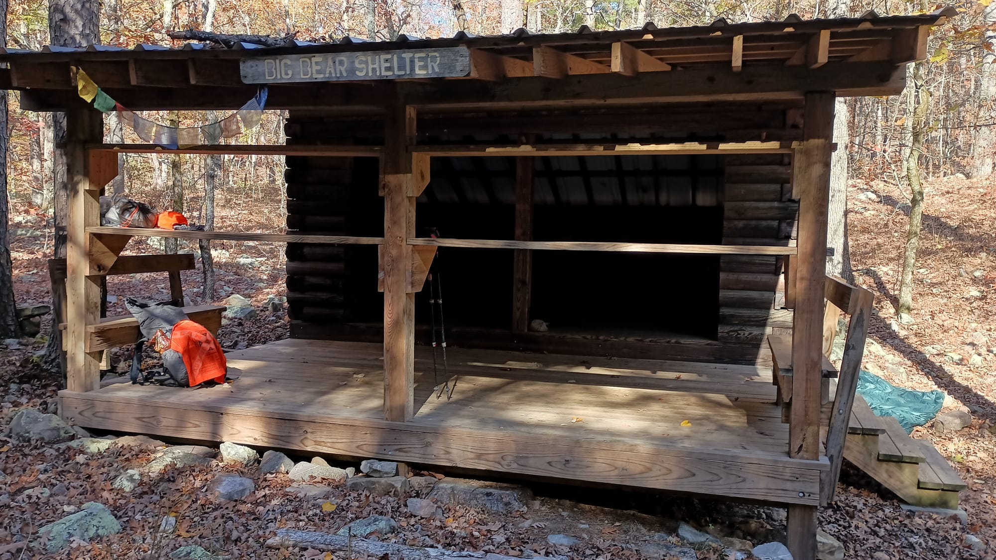
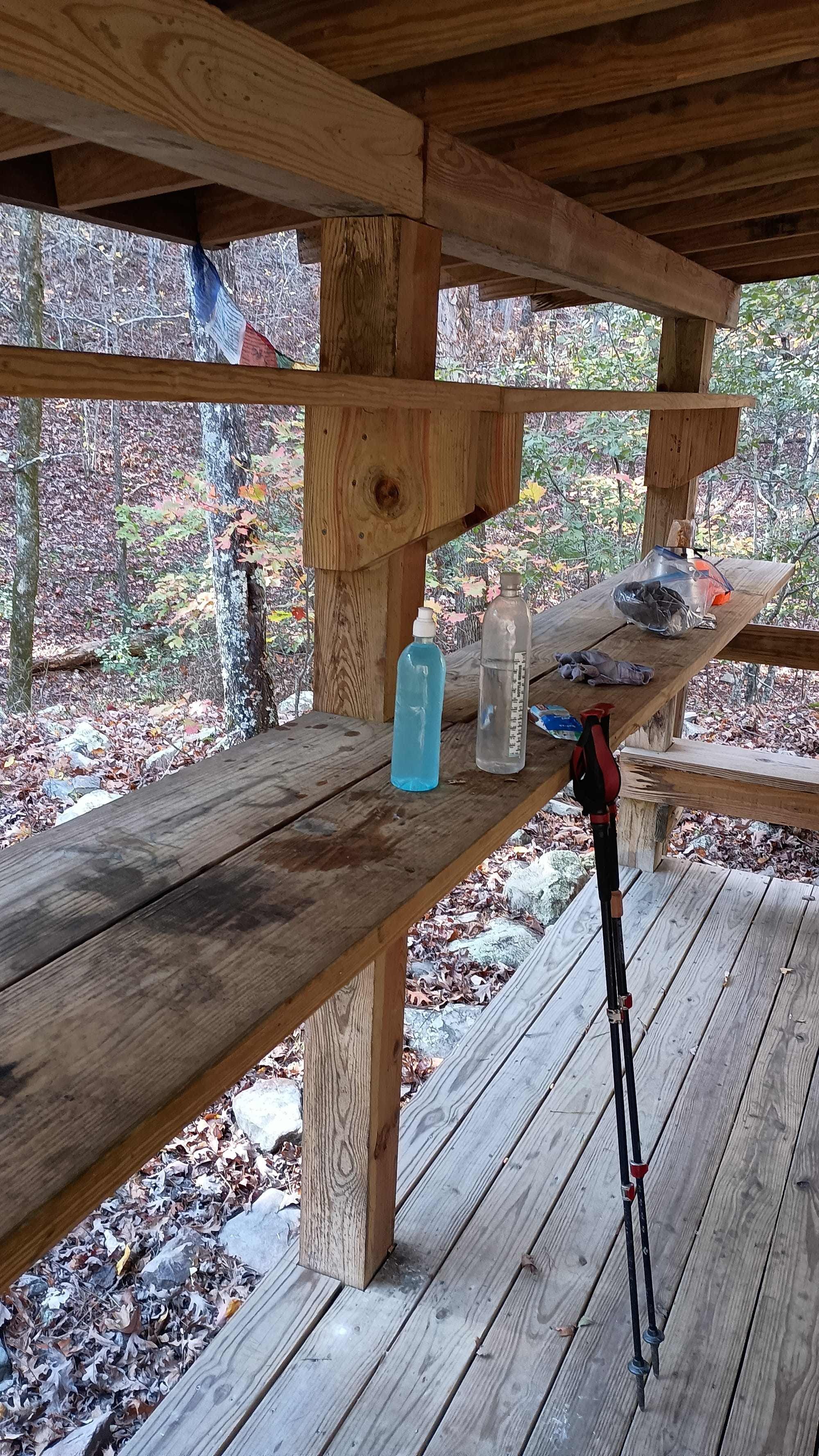
By early afternoon I wondered if maybe I had been too conservative with my trip plan. But the next shelter - Blue Mountain - was 7.4 miles away, and there were no camp sites identified in Far Out in between. Additionally Blue Mountain Shelter was a dry camp site, meaning I'd have to pack water in. I decided to stay put. I went to bed early.
Day 2: Big Bear Shelter to Big Branch Shelter, 17.3 miles, 2660' ascent, 2890' decent. In my revised plan, this was the longest day. I was generally concerned it might be a stretch or that I might have difficulty doing it. I started out walking at first light. It was about 34 degrees. I passed "Ouachita Pinnacle." It had reasonable views, but it was windy and cold. I didn't stick around long. Frost on the leaves proved that while it was above freezing at Big Branch Shelter, clearly it had been below freezing on top. The descent of Ouachita Pinnacle included a stretch of about a half mile on the "wrong" side of the ridge where I was exposed to the wind. That was brutal. Too windy and cold to stop to put more clothes on - I was so happy to get past it!
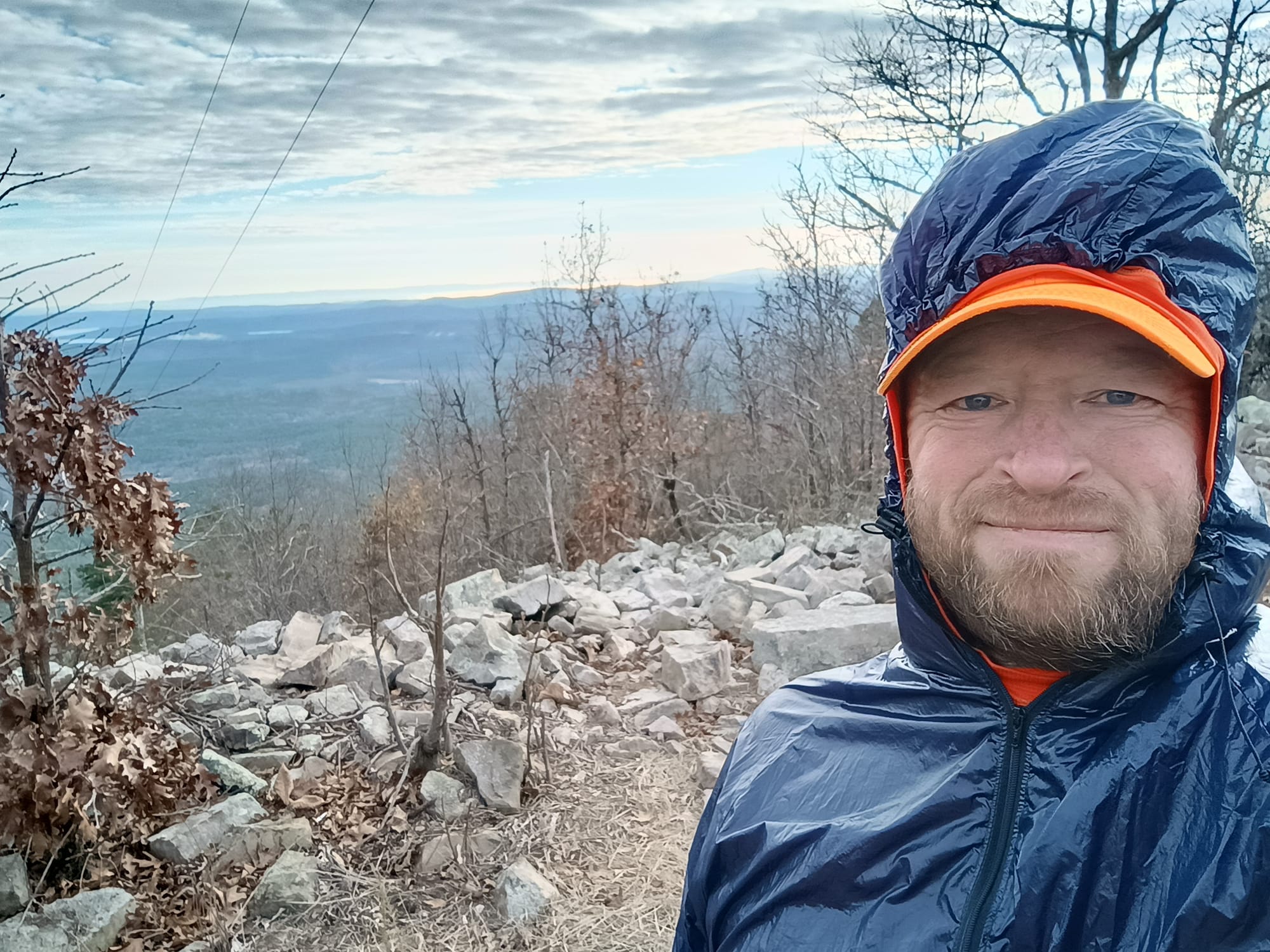
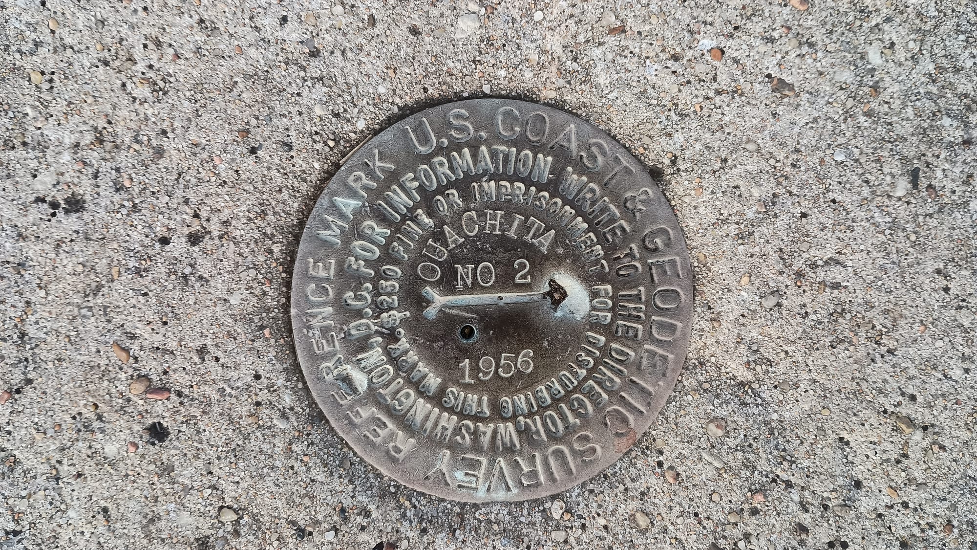
I made it to Blue Mountain Shelter around 10:00 AM, confirming that I likely could have made it on Day 1 before dark. I continued on, past North Fork of the Ouachita River and the highway 298 trailhead, "Mayfield Point", and arrived at Big Branch shelter around 2 PM. It warmed up to 51 degrees. The only other life I saw on day 2 was a dog with a radio collar who followed me for about a mile. He was quite friendly.
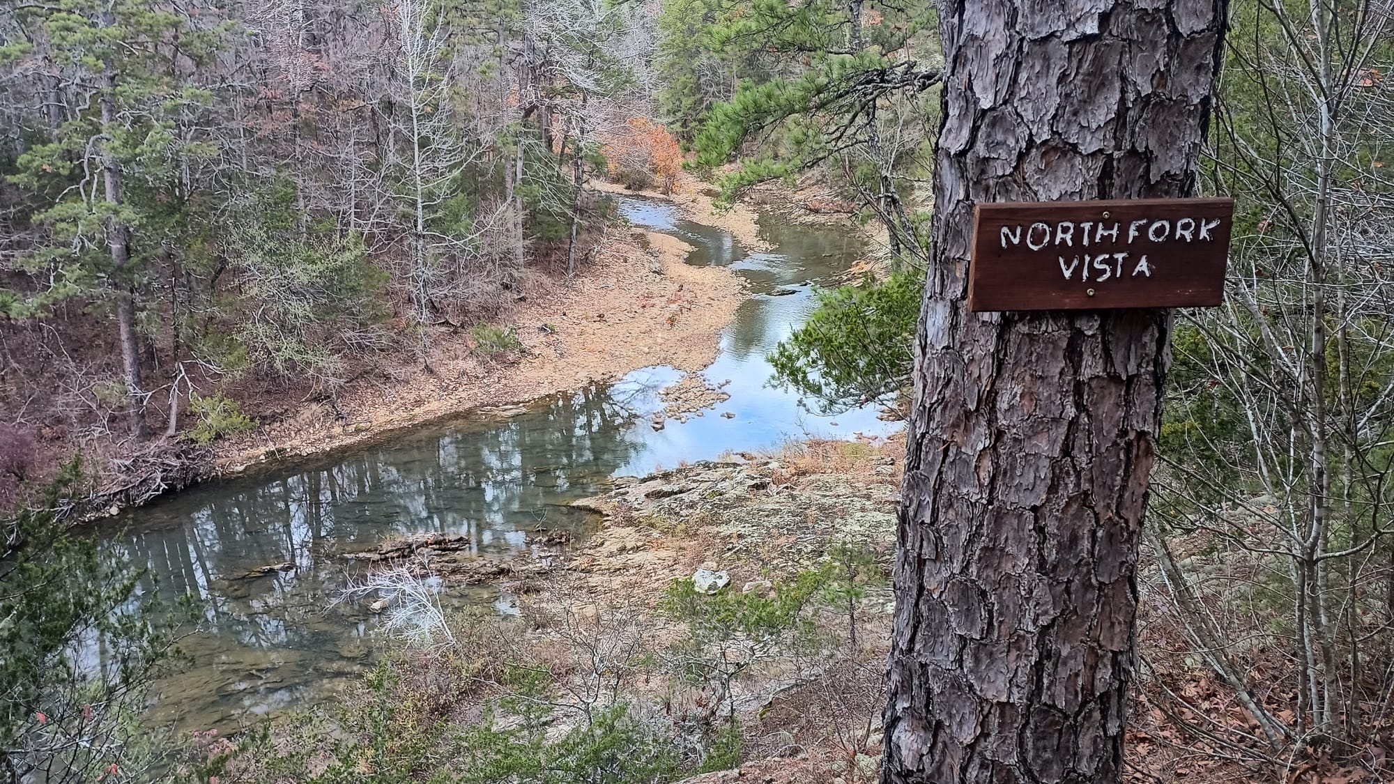
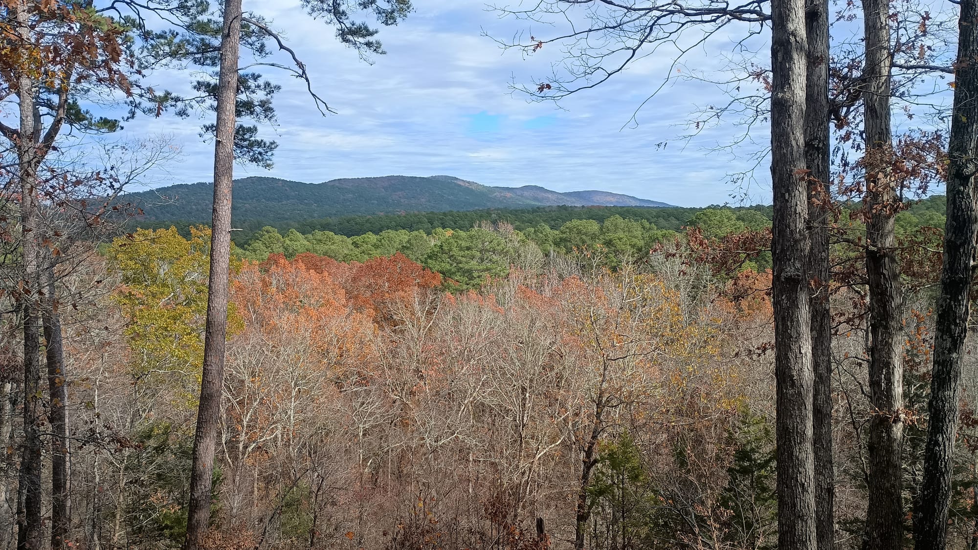
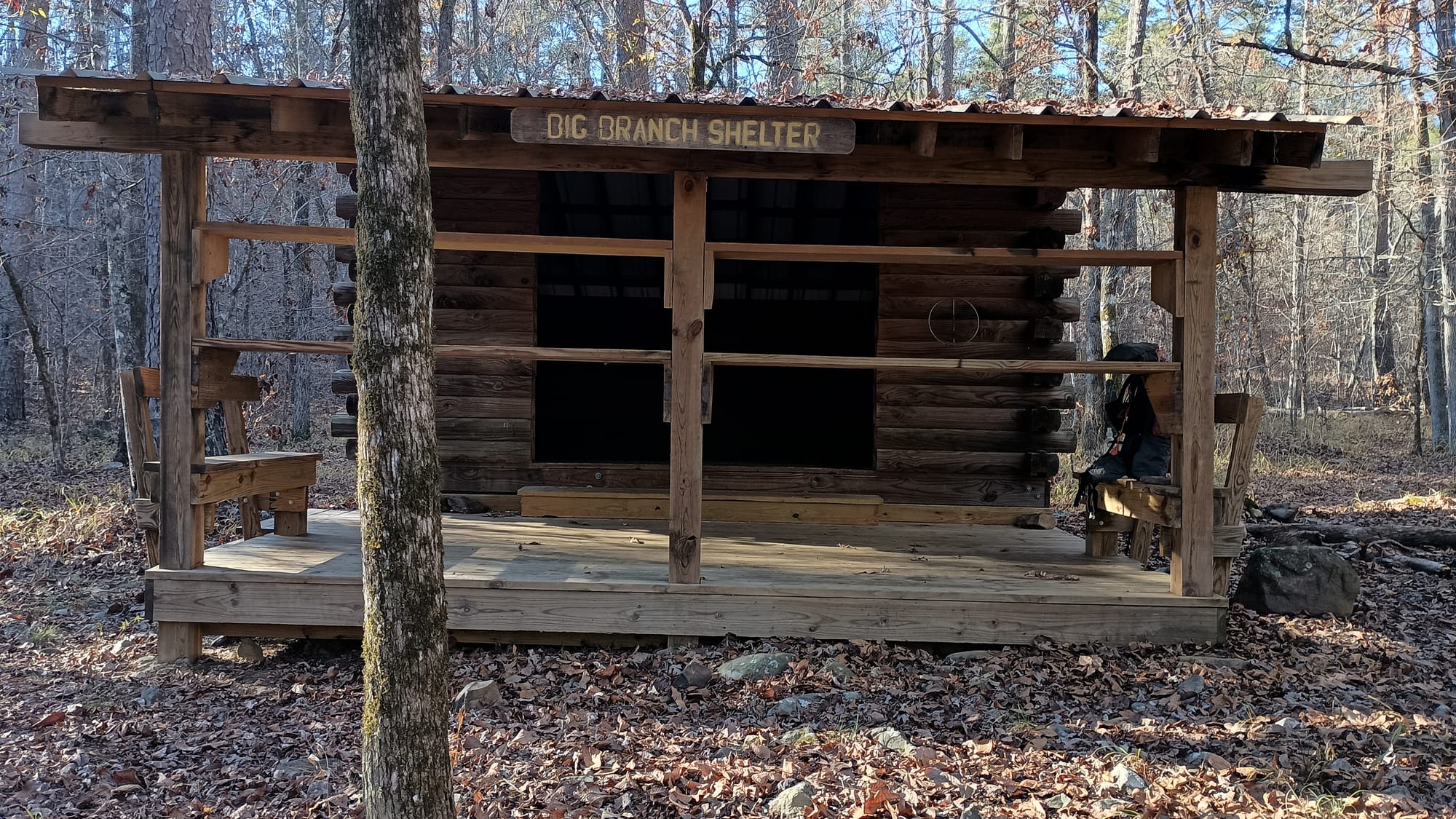
What I had thought was going to be a very long day wasn't so bad after all, and the trail wasn't nearly as difficult as I had thought it would be. I should definitely have tried for Blue Mountain Shelter on day 1. Part of my thinking was that my itinerary included 3 nights in between shelters in tents, and I was not scheduled to stay at Queen Wilhelminia Lodge (QWL.) After seeing the trail, and how fantastic the shelters were, I rethought my schedule to see if I could stay more nights in shelters / fewer nights in a tent, and specifically hit QWL. I also had a constraint I had to plan for. The stretch of the trail between Big Bushy Creek (mile marker 94.5) and Cedar Creek (mile marker 67.7) was notoriously dry. While there were a few water sources in this 27 mile stretch, they were unreliable. I wanted to ensure I only spent 1 night in this stretch to minimize the amount of water I'd have to carry.
The New New Plan
The table below summarizes the final plan, and reflects what I actually ended up doing. Note that: 1) I only stay in a tent 1 night. 2) I only stay 1 night in the dry zone. 3) The average daily distances were longer, and included a 21 mile day. 4) I planned shorter daily distances for the last 2 days to accommodate the notorious "rock garden" section. 5) The plan overall was 2 days shorter. Given my experience the first 2 days, this all seemed workable/reasonable.

Let the Games Begin
Day 3: Big Branch Shelter to Story Creek Shelter, 17.3 miles, 3250' ascent, 3200' descent. I started out again at first light and was treated to this beautiful sunrise through the trees:
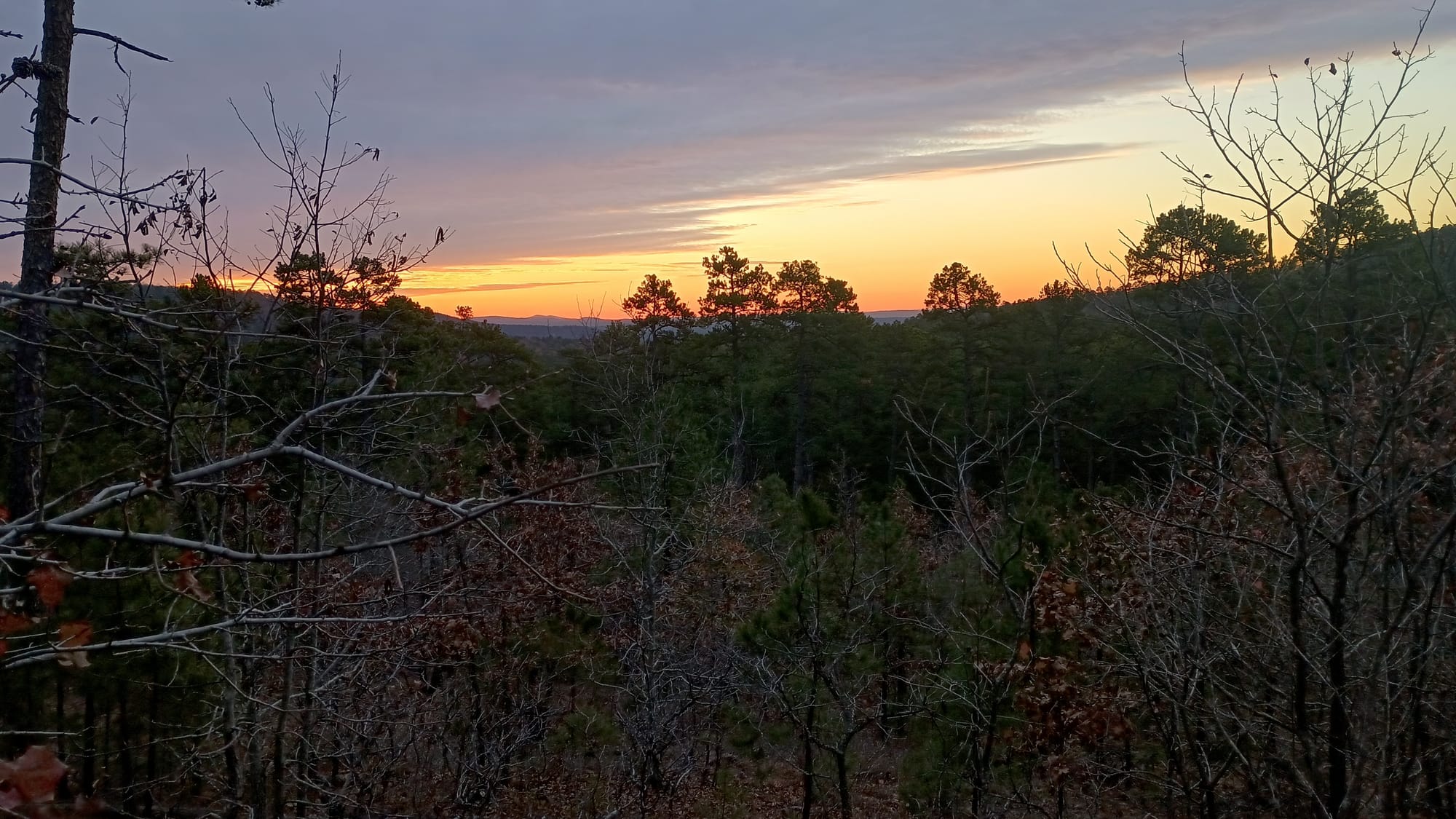
My original plan for this day had me staying at "John Archer Shelter", then hit Highway 27 first thing day 4 for a resupply pickup. The new new plan had me staying at Story Creek Shelter, which would mean I would pick up a day early. No problem. Just meant I was carrying more food. Before hitting those nav points, however, I passed the official "thank you" for years of assistance Lori Carley has provided OT hikers.
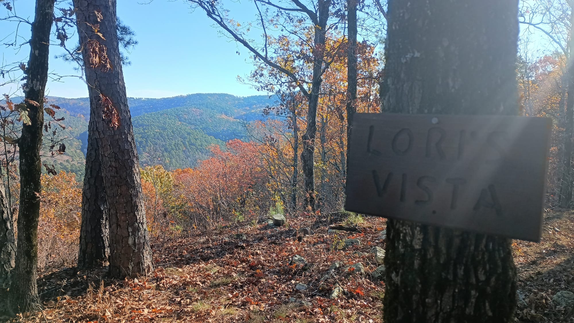
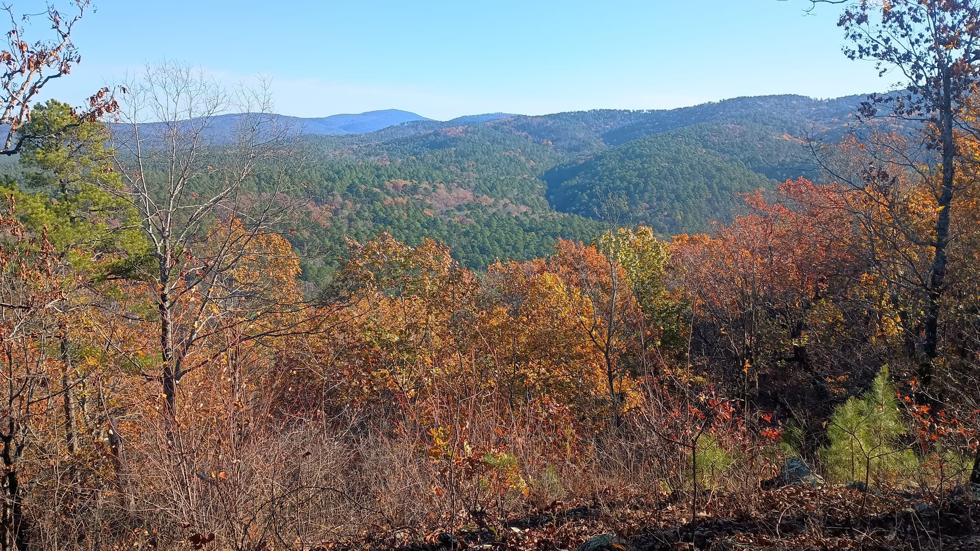
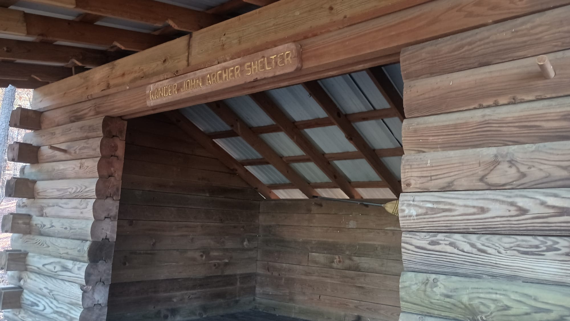
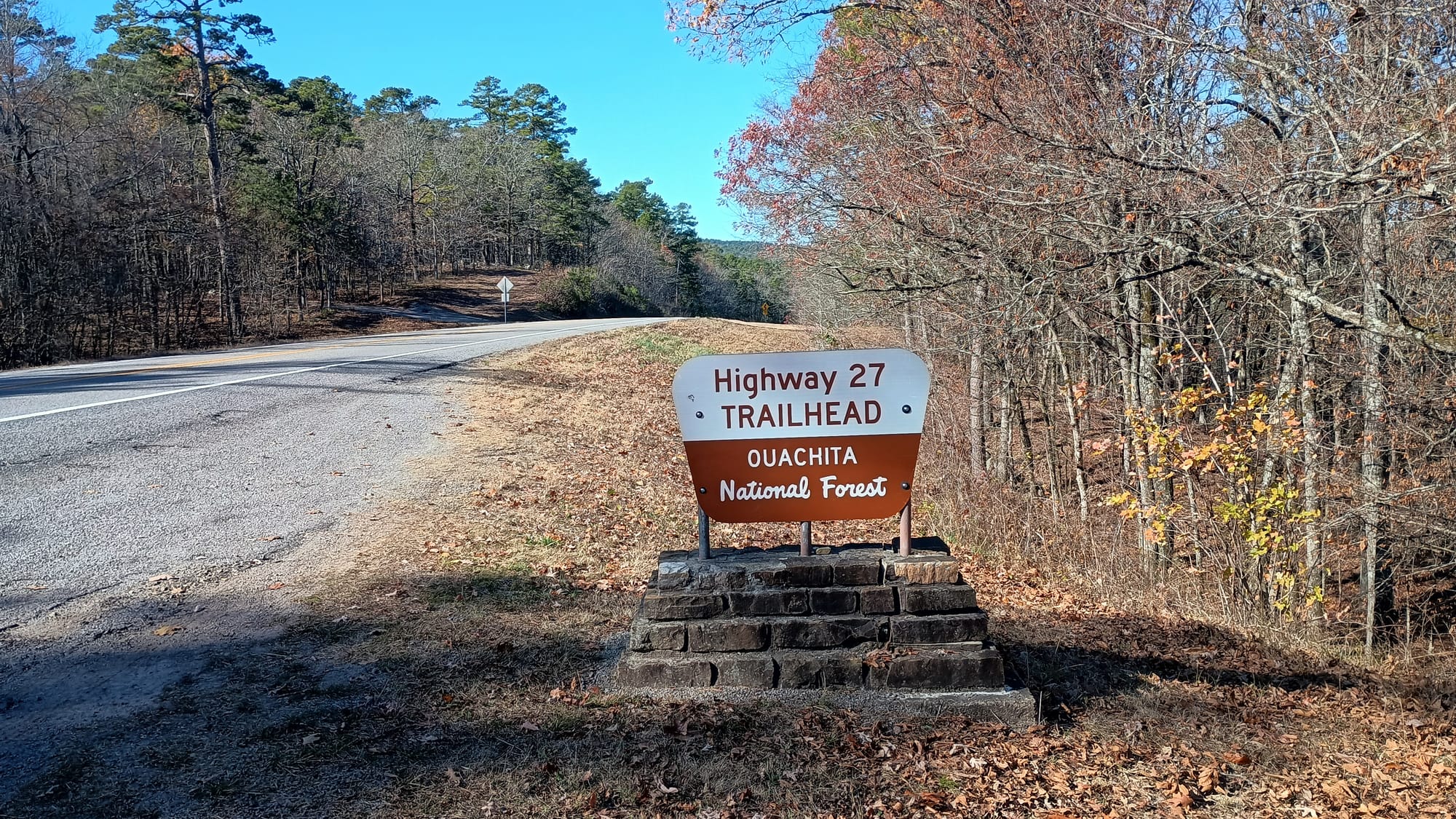
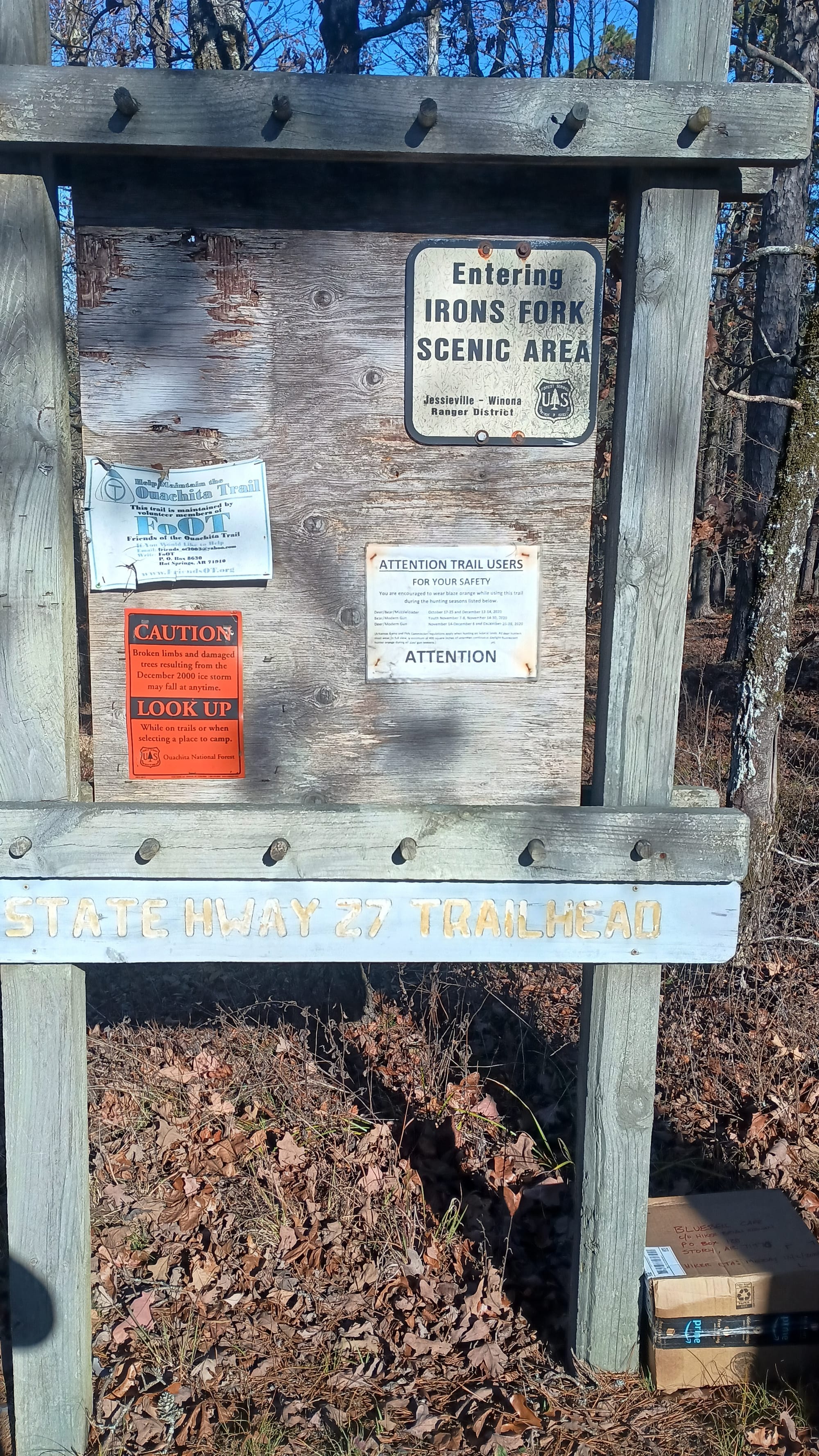
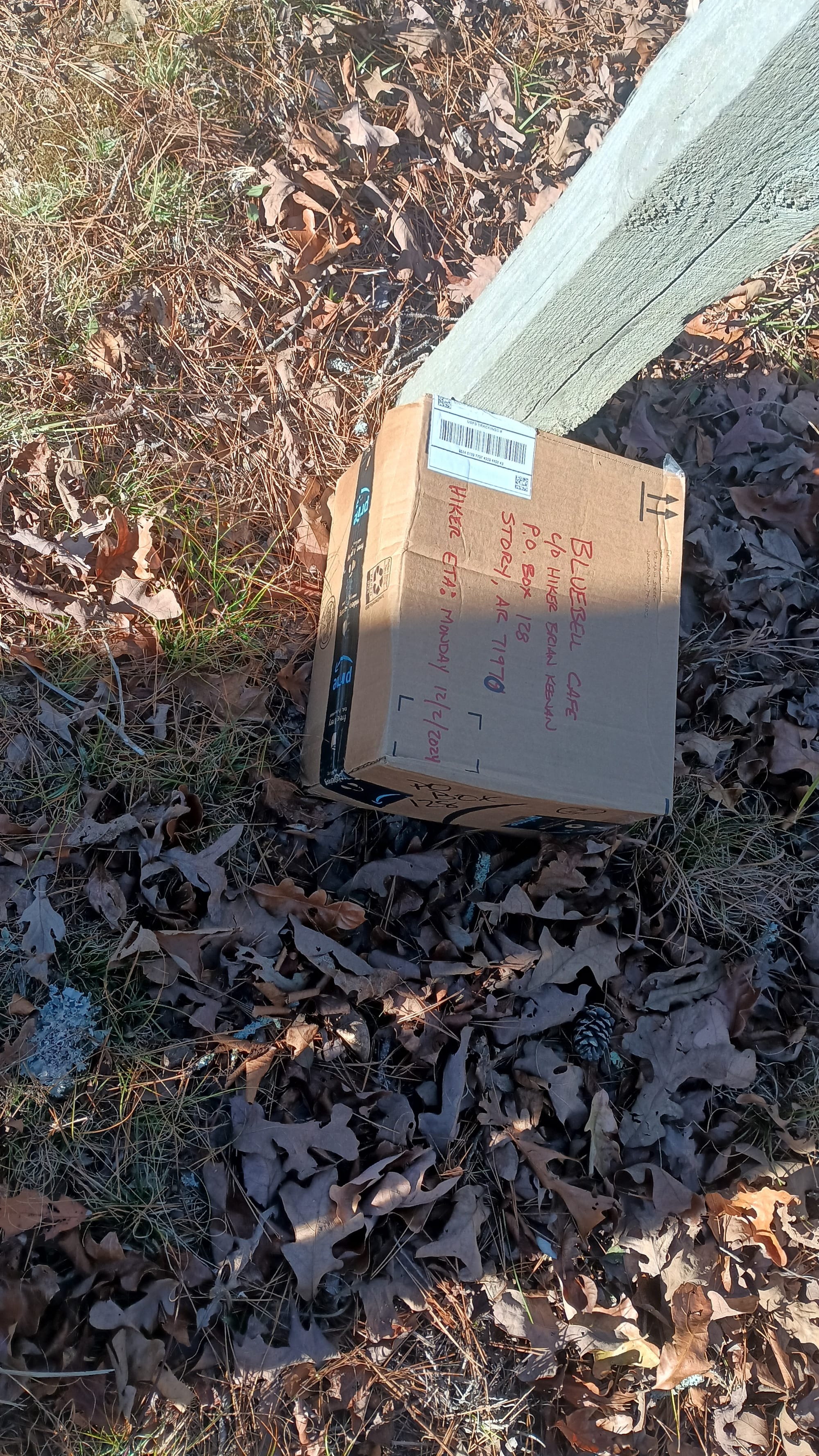
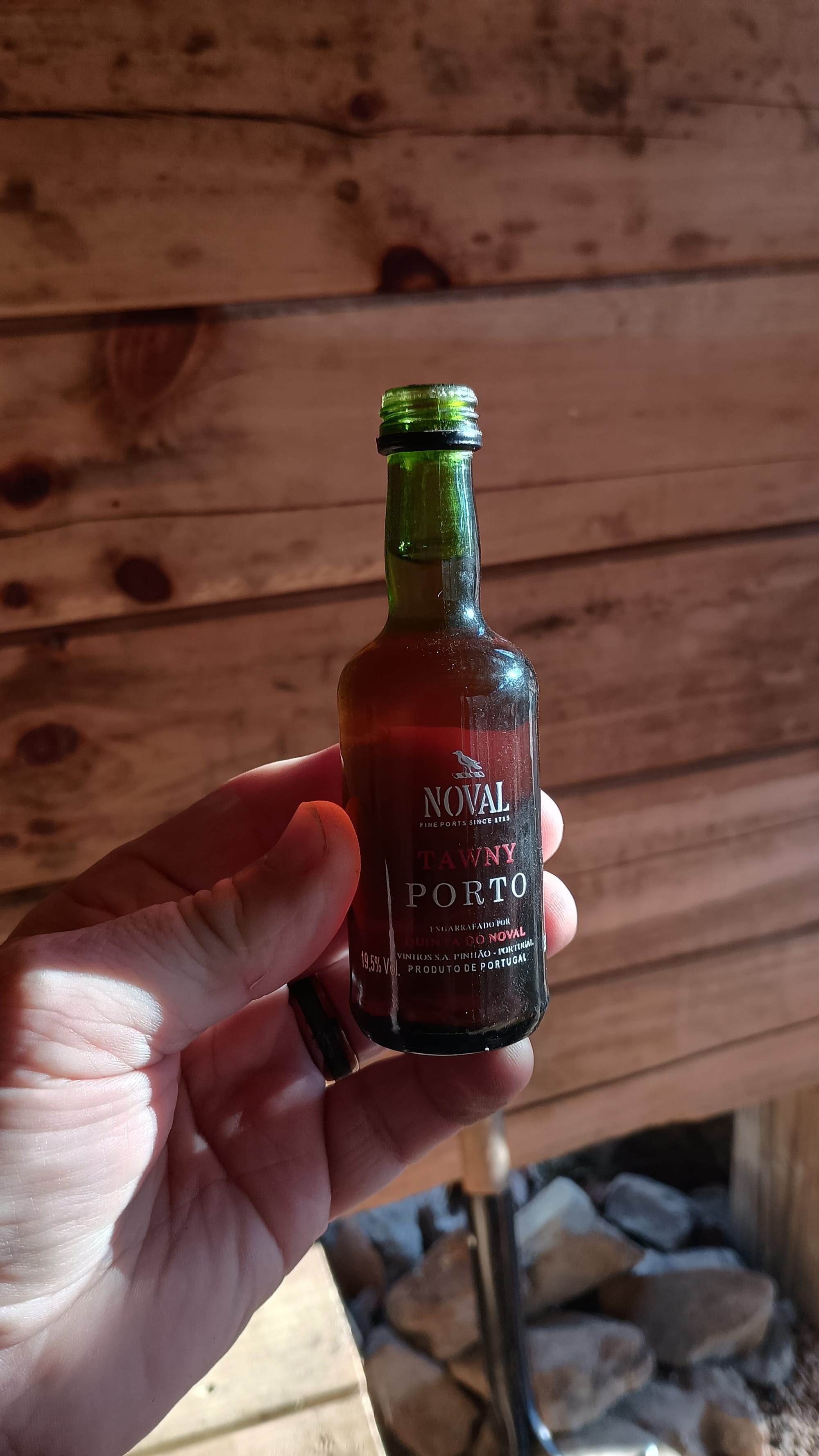
While the day was significantly more difficult than the day before (more elevation gain/loss) I again made it to camp midafternoon, where I was treated to a small bottle of "port" that had been left by a previous occupant. Much of the trail passed through managed forests where the forest service practiced controlled burns and selective cutting. This, combined with the topography / graded trails / switchbacks, gave the appearance of a western trail rather than something in Arkansas. It was surreal.
Since my itinerary had changed multiple times, I was carrying surplus food. That night I had quite a feast - double rations of the heaviest meal (spaghetti with meat sauce) - in order to tamp down my pack weight. I would do the same thing for breakfast on day 4.
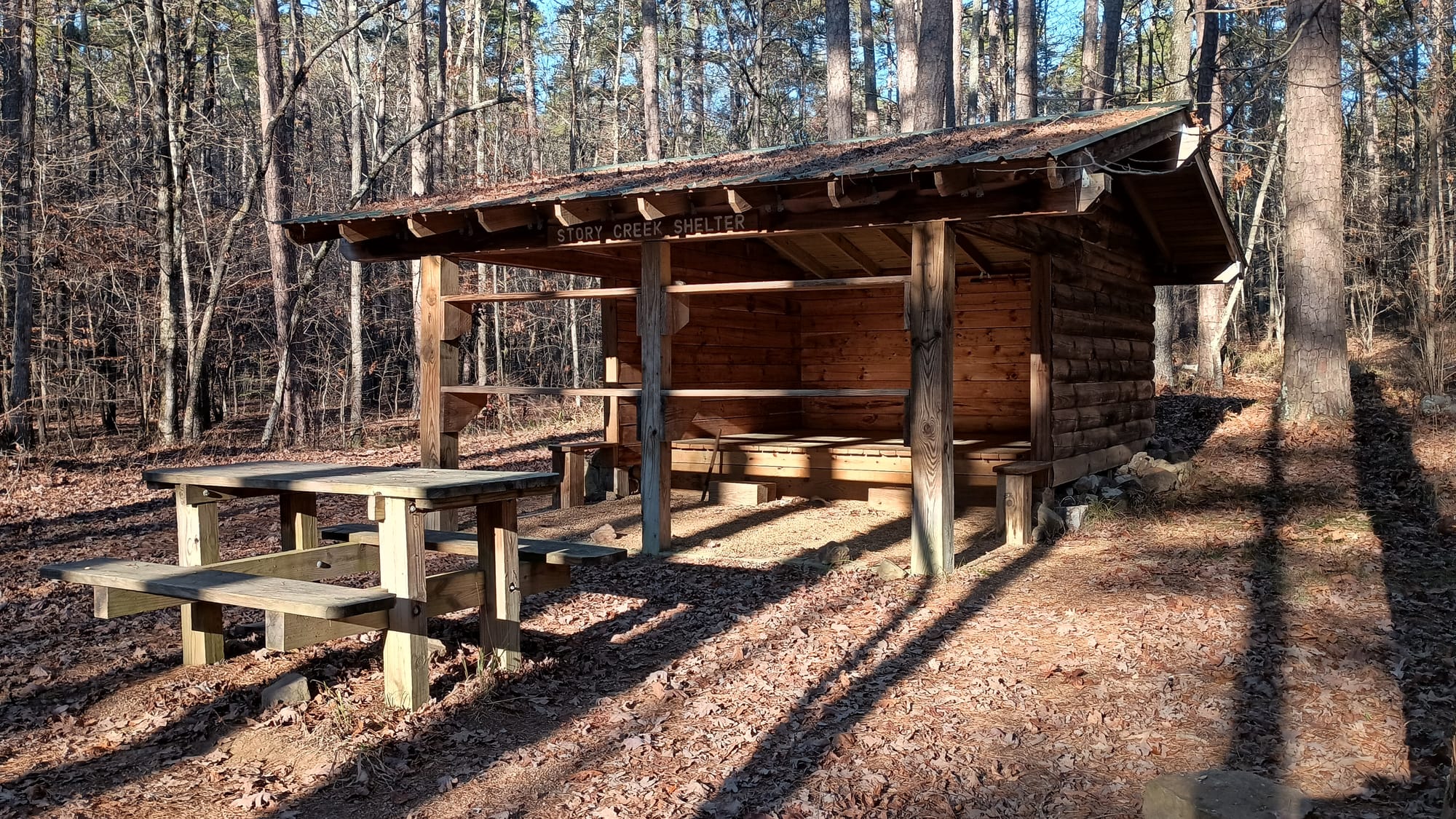
Day 4: Story Creek Shelter to Fiddler Creek Shelter, 15.7 miles, 2250' ascent, 2350' descent. Story Creek is in a valley between 2 hills, sheltered from the wind. It was 34 degrees when I set out on the trail. That relative serenity quickly changed as I climbed the ridge, where it was 30 degrees and very windy. I hiked vigorously to warm up. The morning's most noteworthy things began by passing this strange rock/cave thing that shows up in multiple YouTube videos:
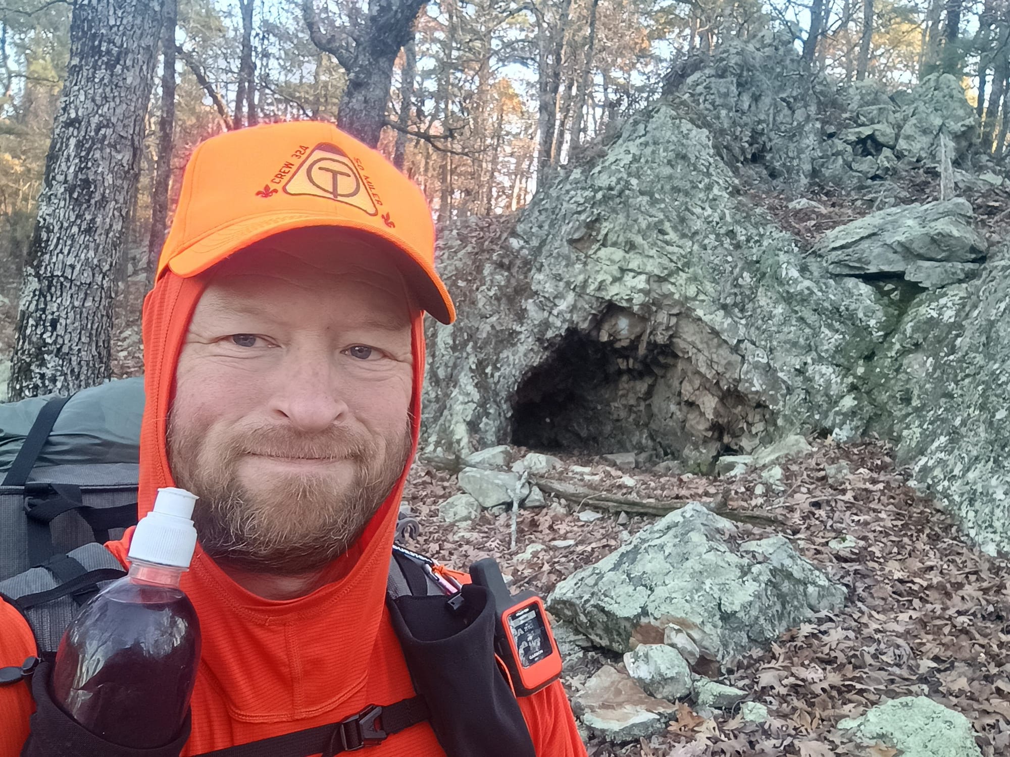
Then passing the official trail "halfway" point.
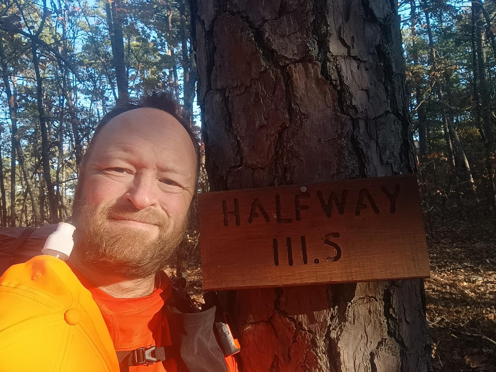
I had lunch at Suck Mountain Shelter in the famous double Adirondack Chairs.
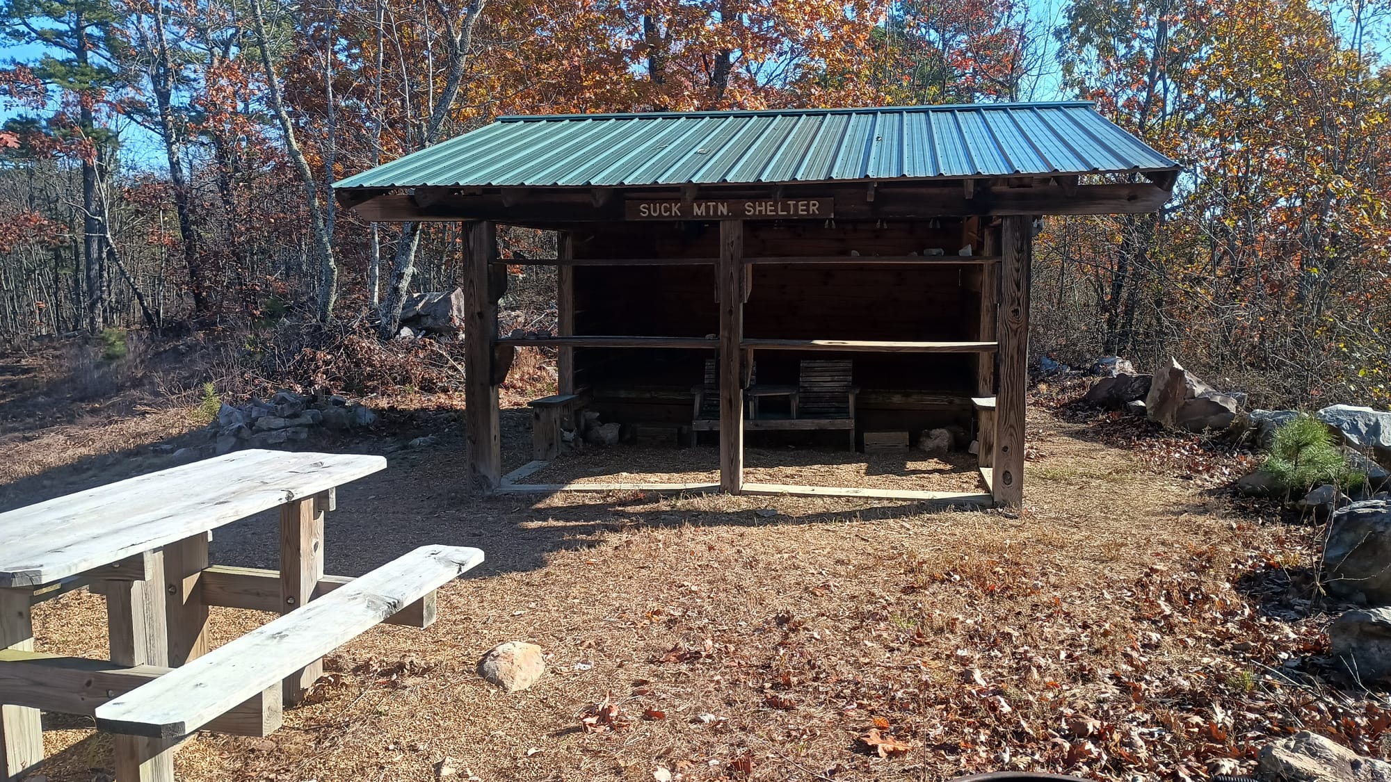
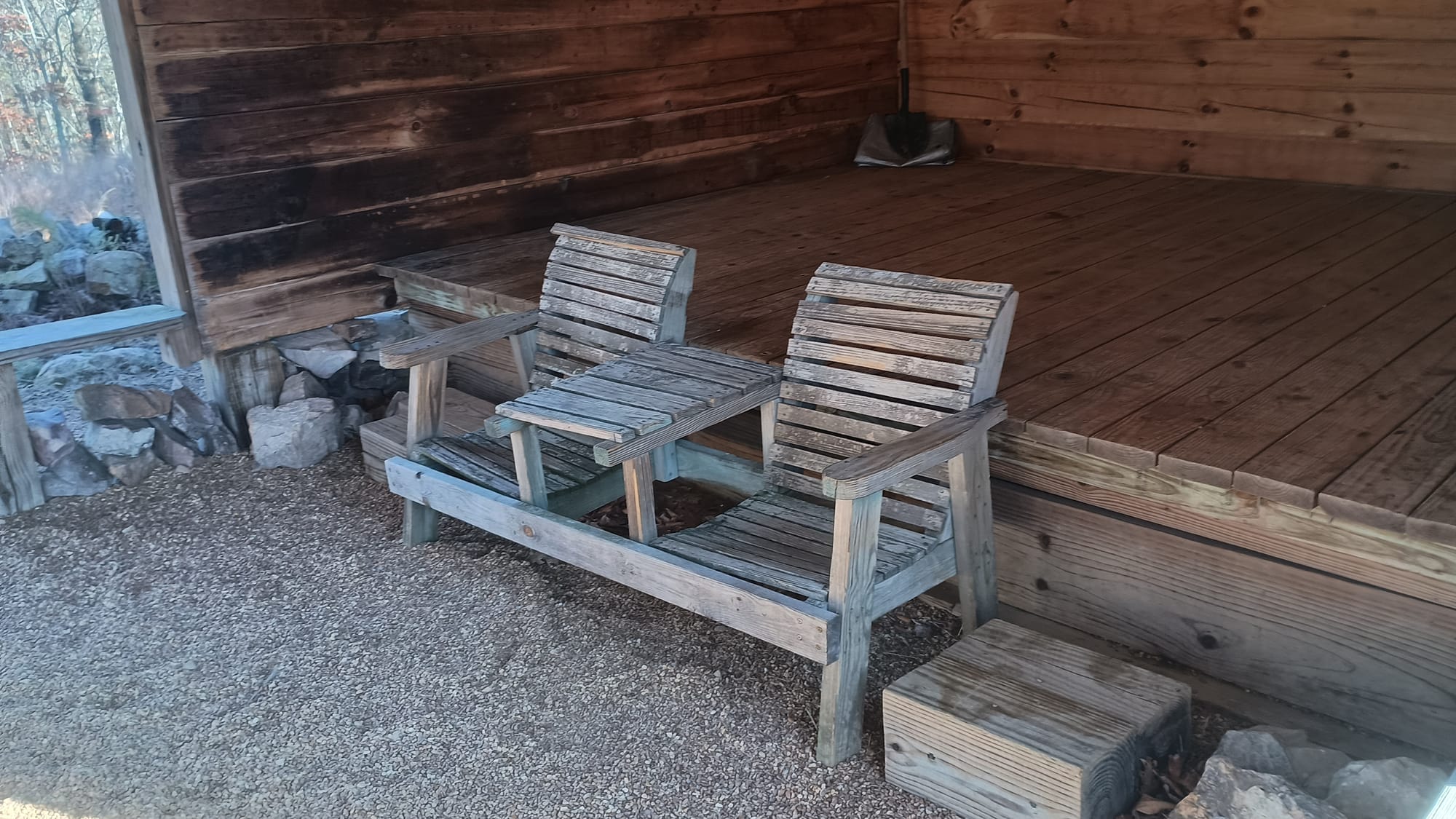
Suck Mountain Shelter is in a very pretty location. I sat in those chairs, enjoying internet connectivity as I ate, being serenaded by sounds of heavy machinery off in the distance. (I suspect it was some form of logging.) The trail leaving Suck Mountain Shelter was rather easy as I remember - following an old road down a long ridge. Cruising speed. Partway down I met an Eastbound section hiker - "Blizzard." He was the first person I had seen since that one guy first thing on day 1. I chatted with him for a few minutes. He told me about rain in the forecast, which was new since I had last checked on Thanksgiving. I was glad to have that intel.
The next few miles were downhill and/or road walking. While this helped accomplish the increased daily mileages from my "new new" schedule, the increased intensity started to accumulate on my knees. The next challenge I would tackle would be "Rock Row Mountain", so named because of a geological feature where exposed bedrock formed rows of rocks. Sadly, I did not see those formations. Perhaps they were more obvious if you were hiking the other direction. However, I enjoyed another section of managed pine forest with textbook trail cut and grading, again giving the impression of hiking in New Mexico or Colorado. Absolutely beautiful.
The Ouachita trail was built between 1971 and 1981, with the shelters being built between 2013 - 2016, which explains why the shelters are in such good shape. Not everything on the trail, however, is in such a pristine condition. One of the things that was common in my youth was trailhead "sign-in" books so that those managing the trail system both had a record of how many people used the trail system, and to assist emergency services should the need ever arise. Several of the Ouachita Trail's sign boards were in significant decline, and clearly hadn't been used in some time.
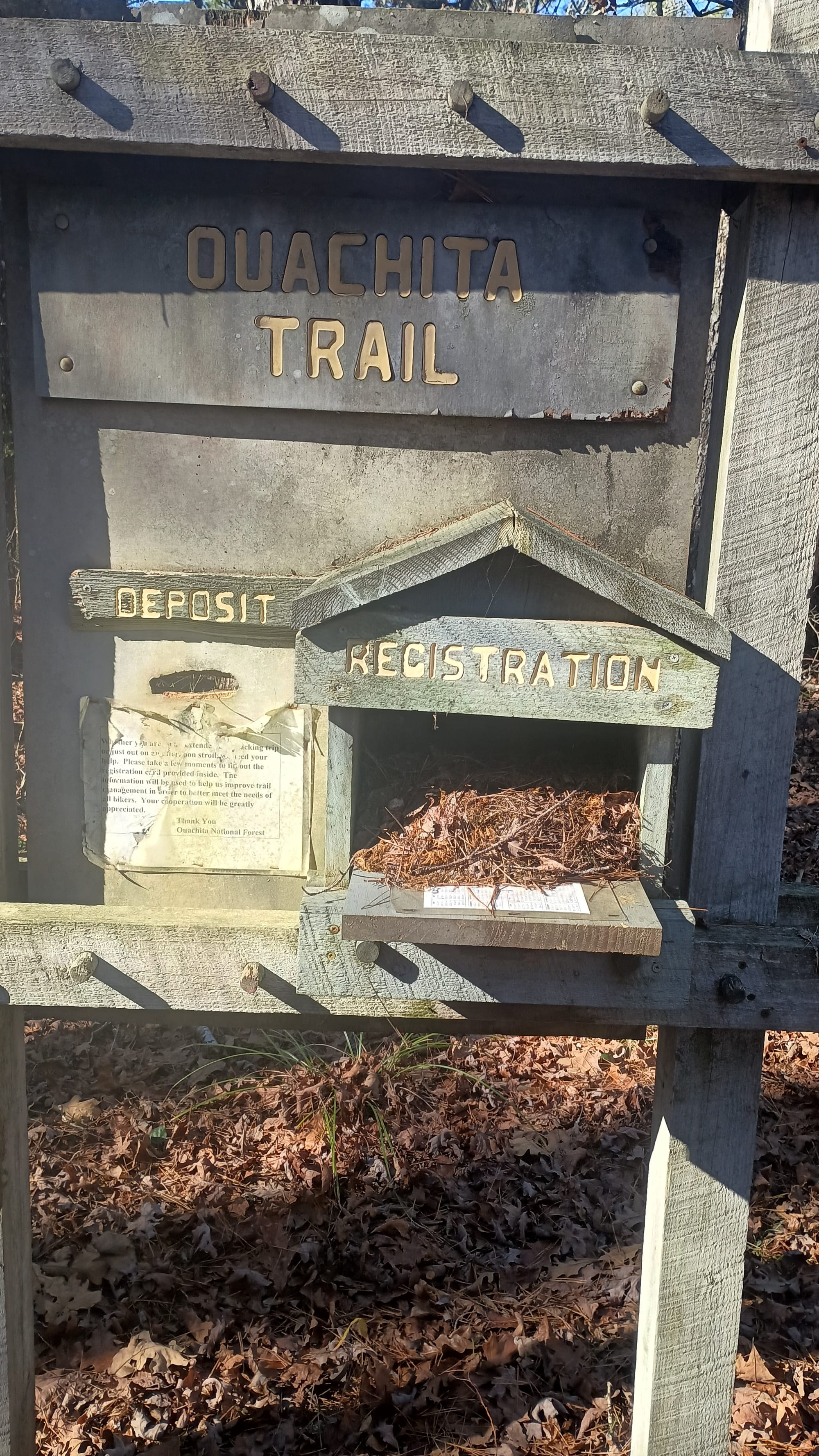
Seeing the signboard pictured above made me curious if they still had logs inside and when they were last used. So I checked the next one.
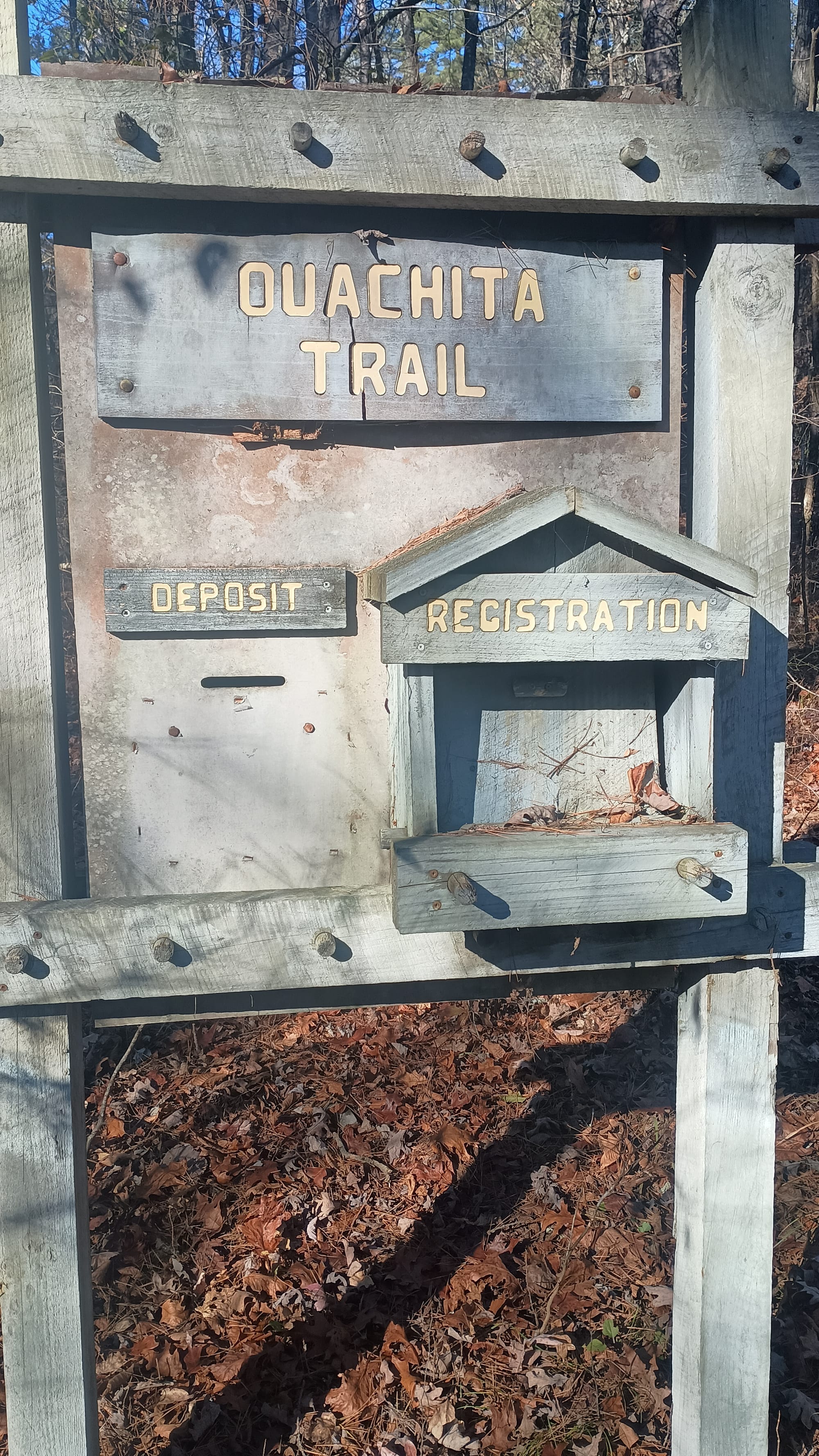
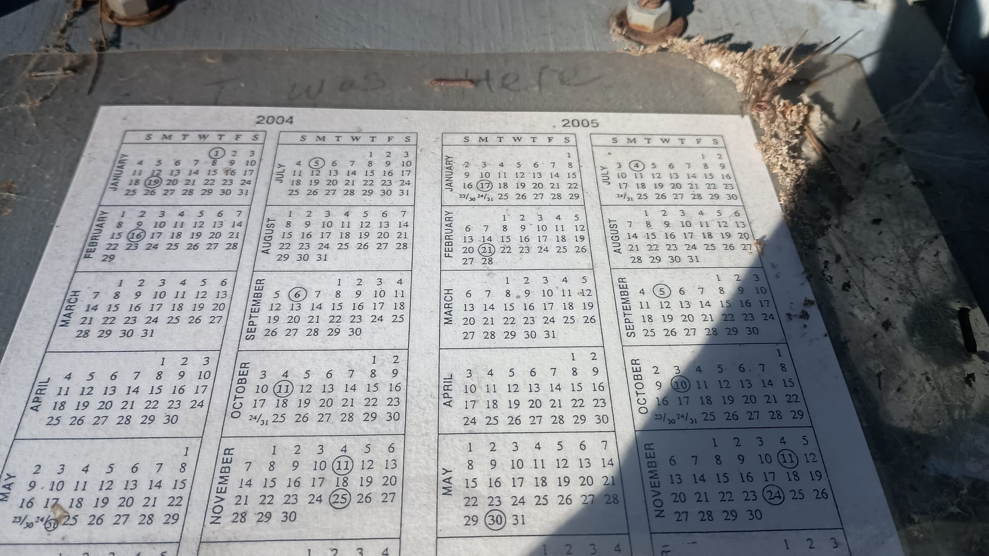
2004 - 2005! Twenty years! I am guessing that since the advent/prevalence of smart phones and social media, the need for these logs has died off. Similarly, the log books in the various shelters show sparse use, with several dating back to 2020, yet only partially filled.
Anyway, Fiddler Creek Shelter was just past the creek atop a VERY steep incline. I spent time at the creek filtering, washing up, and taking Aleve before making that climb. (I started to feel the cumulative effects of all those miles.) I checked the weather and confirmed that there was a 60% chance of light rain forecast for the following afternoon.
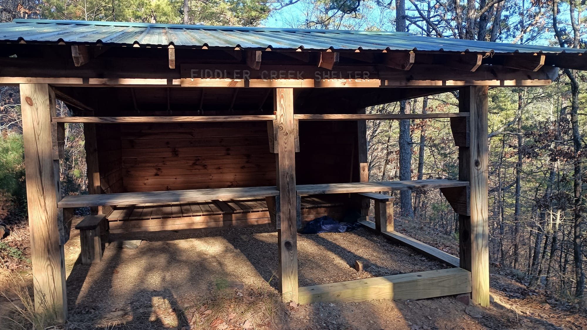
Day 5: Fiddler Creek Shelter to Turner Gap Shelter, 21.5 miles, 3880' climb, 3225' descent. This was the long day, and I knew it was going to be. I wasn't sure if I could make it before dark or not, but was convinced by Facebook followers to give it a try, and if I didn't make it, stay in my tent. With rain on the way, however, I wanted to push for the shelter. I was determined to get on the trail at first light as I knew I was going to be pressed for time / may run out of daylight.
I got up early to make my breakfast and poured water into the pot. As I did so, ice crystals formed in the mouth of the water bottle. When I set the water bottle down, immediately there was visible ice present in the bottle where there had not been any before I picked it up.
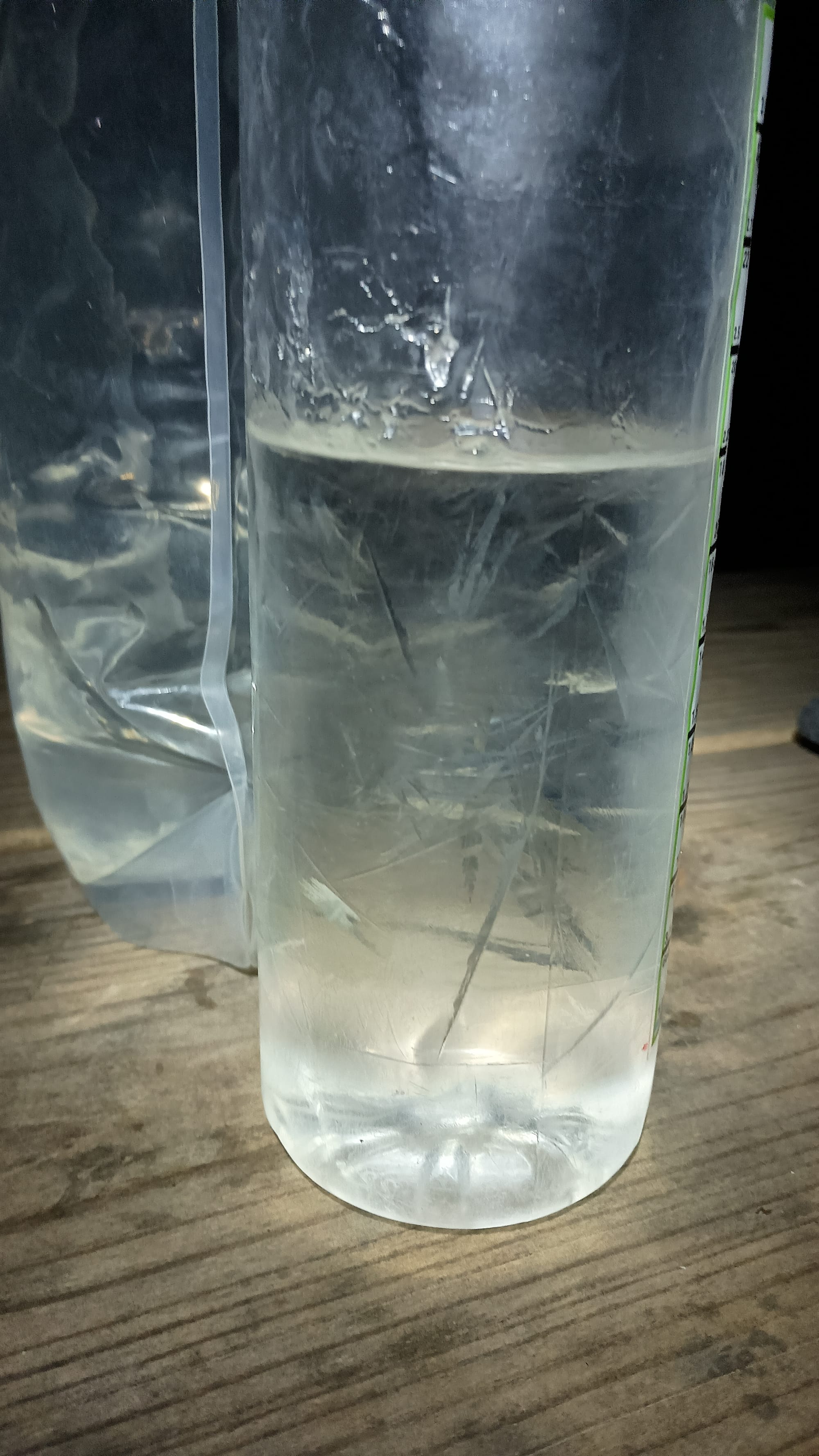
Eerie to see crystals form immediately upon being disturbed. I checked the thermometer on my pack, which was hanging inside the shelter. It read 36 degrees. No way. I took the thermometer off the pack and hung it off the bench. A few minutes later, this is what it read:
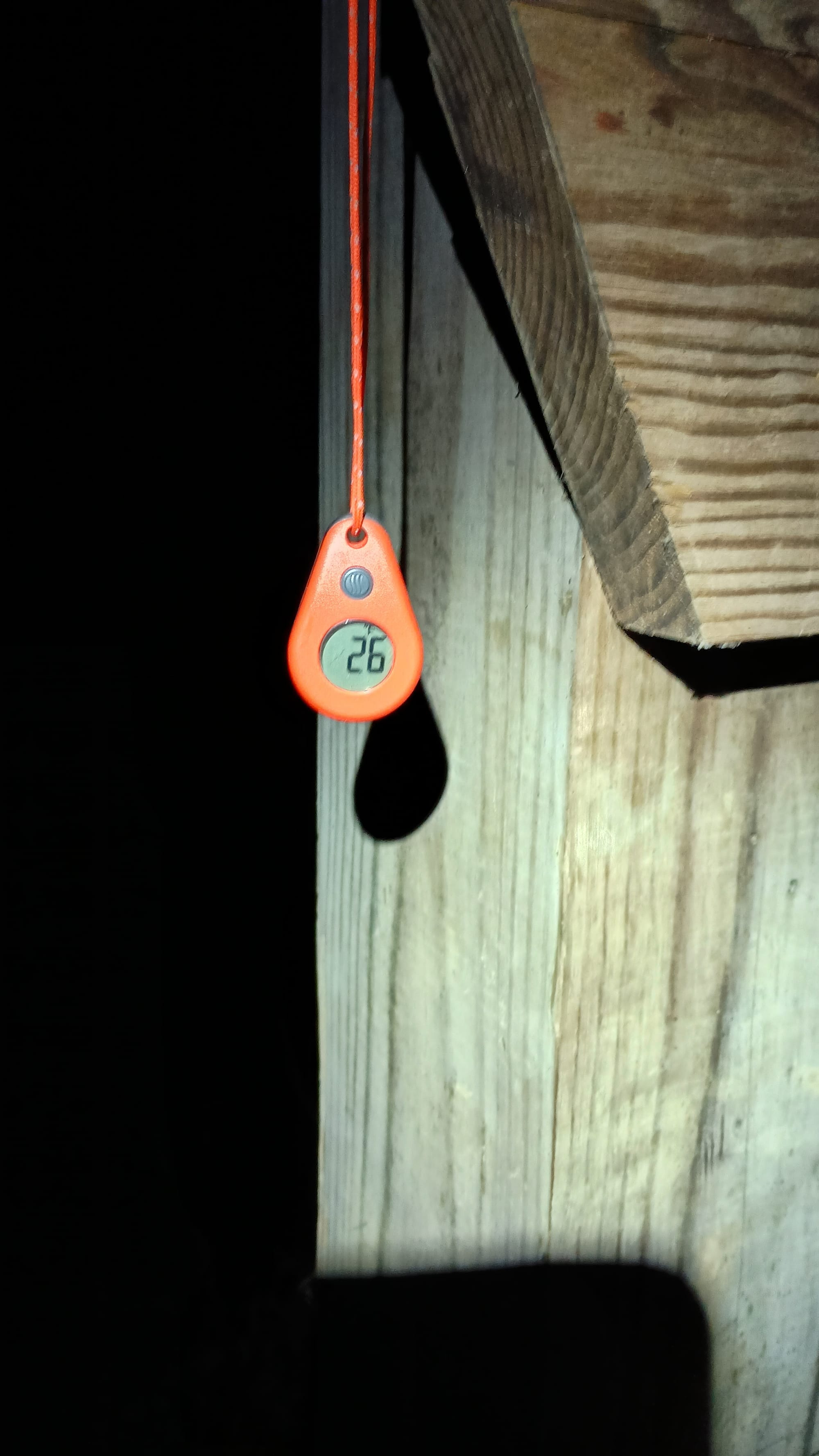
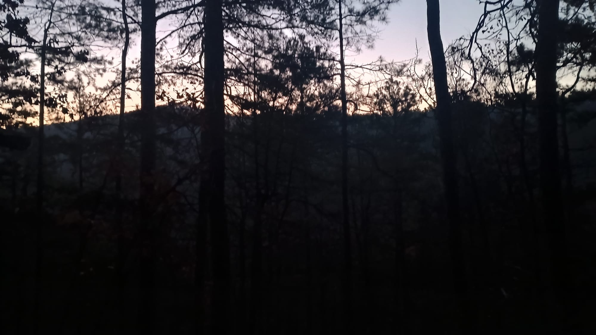
Yeah, that's more like it. It felt crisp. I was glad that I had adopted a strategy to sleep with my water filter to prevent freezing. No matter, it was a beautiful morning. I started off as soon as I could barely make out the trail and got a nice sunrise, again, through the trees.
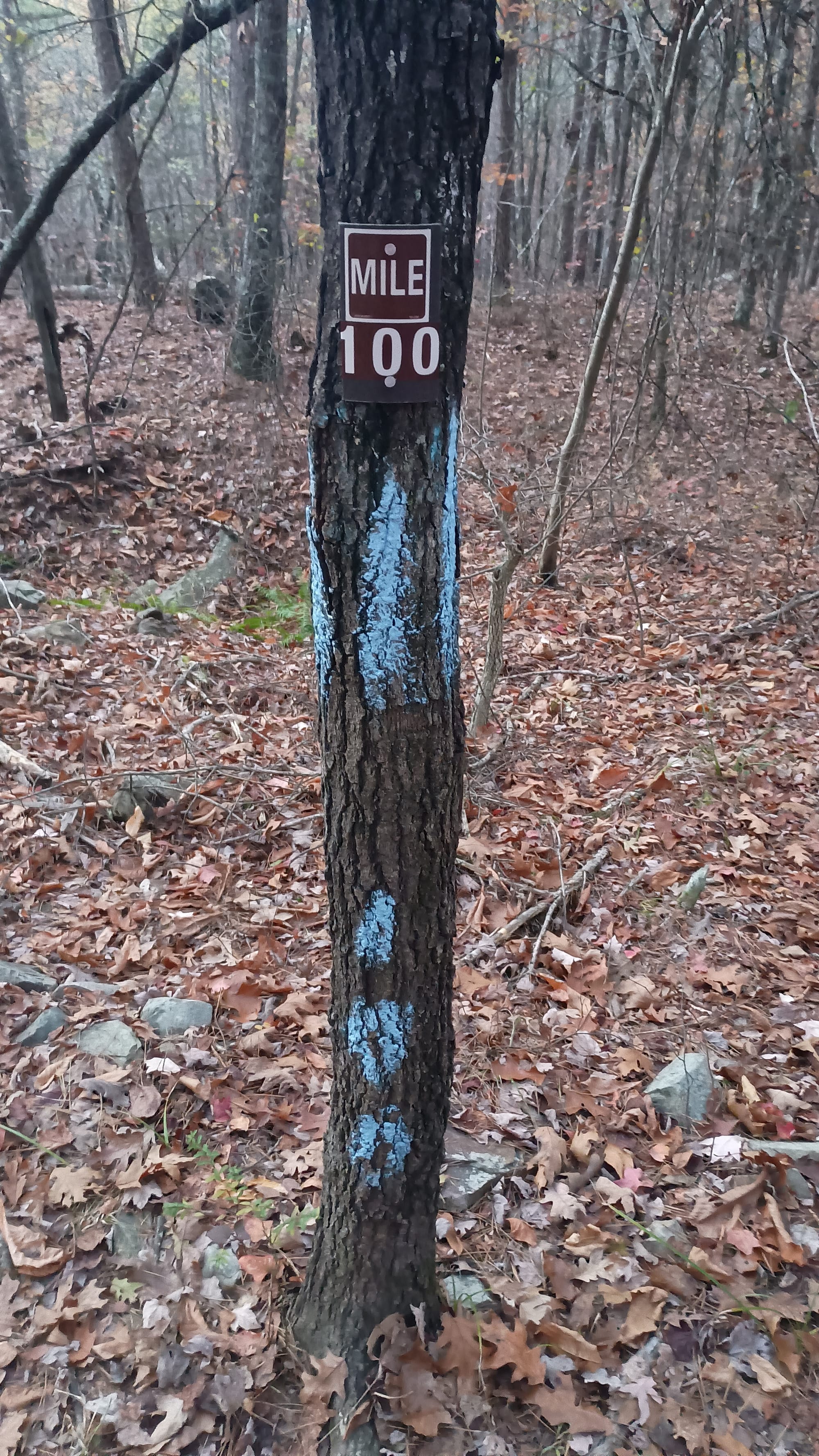
Early in the day I passed another milestone:
And was amused as I passed the Highway 270 trailhead to see what the area I had just completed was called. I bet there is a story there somewhere. By this time it had warmed up to about 50 degrees. However, about an hour out of camp, before it had warmed up, I had to stop for my morning bowel movement. On this trip I adopted a new-to-me ultralight hiking practice of using a bidet rather than toilet paper. Let me tell you, you have not lived life until you clean yourself with icewater!
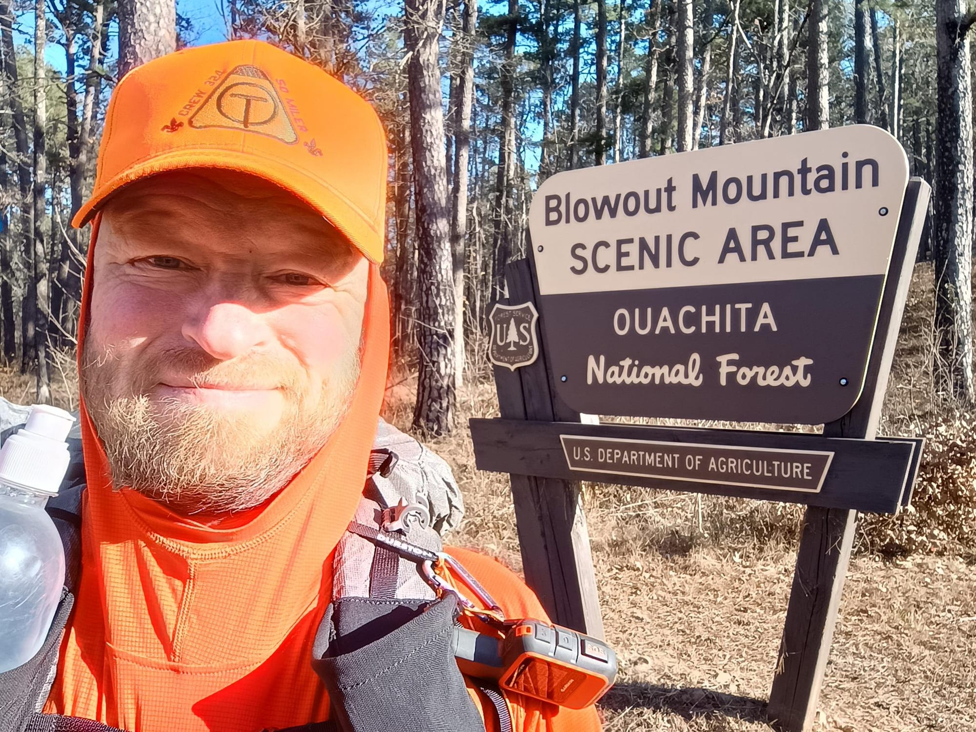
Highway 270 is also where you cross "Brushy Creek". This was the last dependable water source for 27 miles. I tanked up before starting the climb to Brushy Creek Mountain (yes, they actually have a mountain with a creek in its name) and Brushy Creek Mountain Shelter for lunch. Because I knew I was going to be pressed for time, and the fact that the shelter was off on a side trail, I literally just stopped when I saw the sign, sat in the middle of the trail, and ate lunch. I quickly set off again. Somewhere around Mile Marker 86 I entered an area of multiple forest service roads and recent logging activity. I came upon a very-well stocked "trail angel" stash.
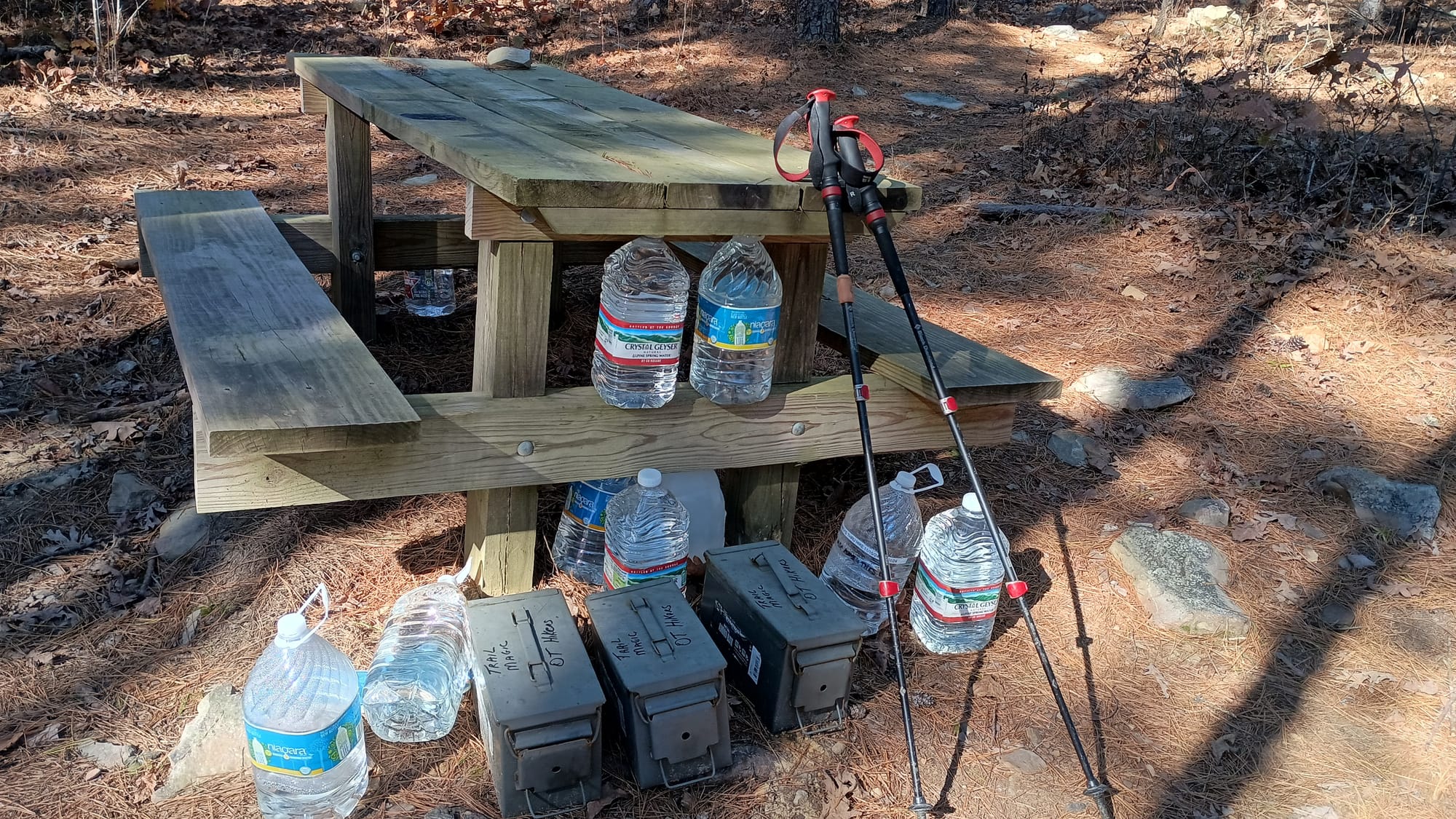
Those ammo boxes included soda, candy, and an assortment of goodies. Clearly the Friends of the Ouachita Trail (FoOT) were doing what they could to mitigate the dry stretch. I just wish I had known about this before I had carried surplus water for 7 miles and up 1300' of elevation! I consoled myself by taking a handful of Halloween-sized Butterfinger bars.
One of my suggestions for improvement for the OT relates to the maintenance of blazes, trail markings, and signage. Some areas of the trail are great. Others are not. The afternoon of day 5 saw me get off-trail because of one of these poorly marked areas. The trail ran between two parallel roads - one on top of a ridge and the second descending into the ravine roughly parallel to the ridge. Because of the history of sparsity of blazes - especially when on something obvious such as a road - I got WAY down that descending road before I figured out I was not on the trail. Thankfully I had downloaded USGS topo maps for my backup navigation method, because the standard navigation I was using did not show the road I was on. Once I understood my error, I had to bushwhack up the steep ridge to where the trail was. This was a frustrating, tiring, and unnecessary exercise.


So, yeah, that was a delay of maybe a half hour, and the expenditure of a bunch of energy to climb out of that ravine. I was griping the whole time about how I should have just stayed on Buck Knob Road.
I rolled into Turner Gap Shelter at 5:10 - just before it was too dusk to continue. I was tired, and the cumulative effect of 21.5 miles was taking its toll.
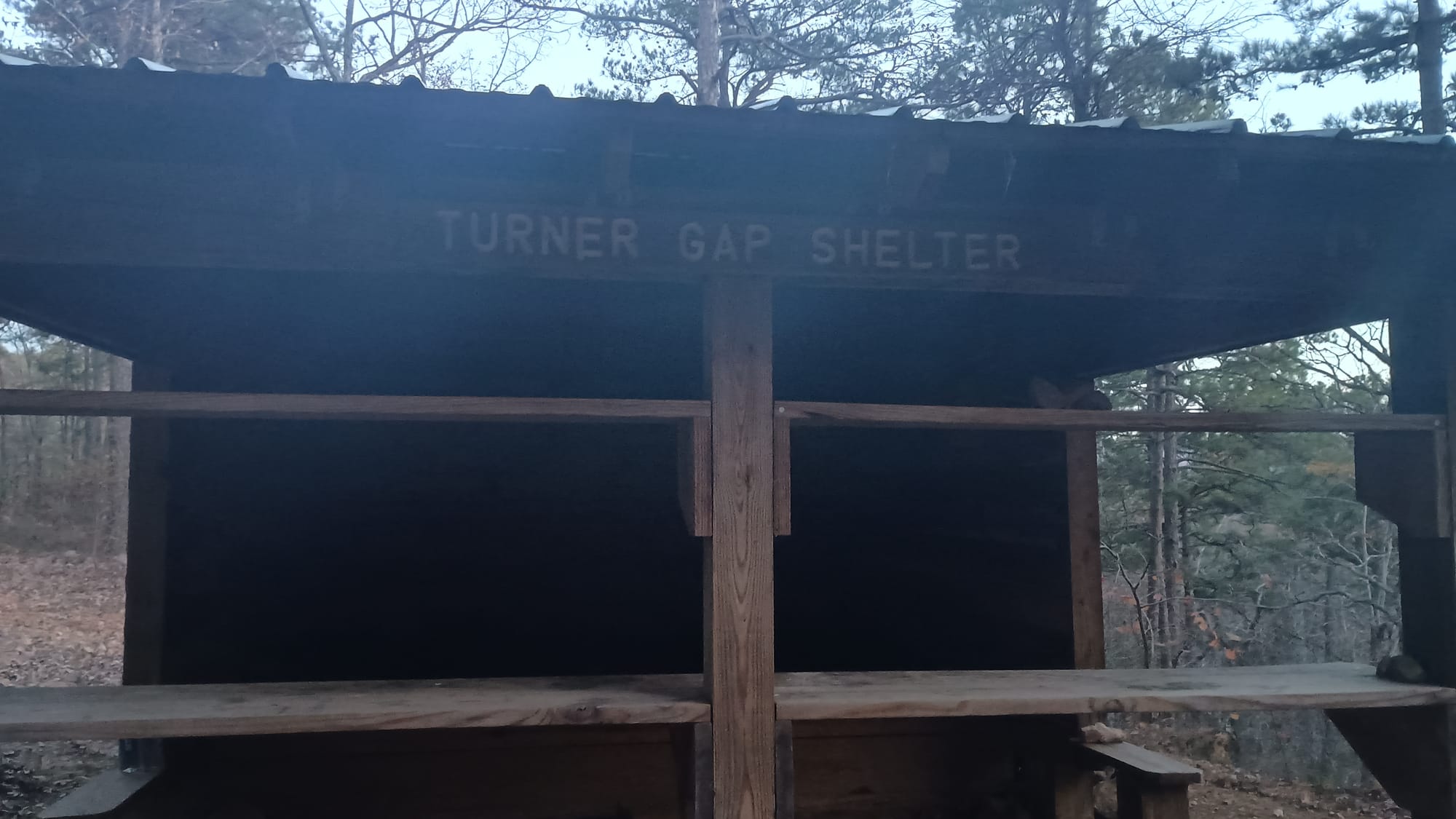
Day 6: Turner Gap Shelter to a tent site near mile marker 64, 16 miles, 3375' ascent, 3725' descent. I was really feeling it the next morning. Tylenol and Aleve stacked was necessary to make it possible for me to get back out on the trail. Day 6 saw me climb to the high point of the trail - on Blue Mountain. Notice I didn't say to the top of Blue Mountain. One of the disappointing things I found on the OT is that while the trail frequently goes up mountains, it typically side skirts them / doesn't summit them. I'm not sure why that is. Maybe since the there aren't vistas the trail builders figured why bother?

This is typical for the views in this section:
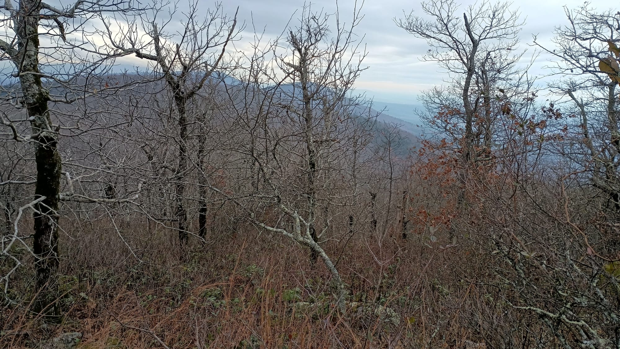
Anyway, the first quarter mile from Turner Gap Shelter up the ridge proved to be the steepest I encountered the entire trail. No switchbacks there! Just straight up. Blue Mountain was a 900 foot total ascent from Turner Gap Shelter, about 200 foot of it in that first two tenths of a mile. It was cloudy, overcast, and quite breezy. I "summitted" around 9:00 am. It started to sprinkle somewhere between the top of Blue Mountain and Tan-a-hill spring, which was really the only other nav point between Turner Gap Shelter and Foran Gap Shelter. I saw the sign, but since I still had plenty of water, I didn't go off trail to find it. Shortly after this spring, I again got side-tracked by poorly marked trails in association with roads, necessitating backtracking about half a mile. Oh well. I made it to Foran Gap Shelter around 1:30 for a late lunch.
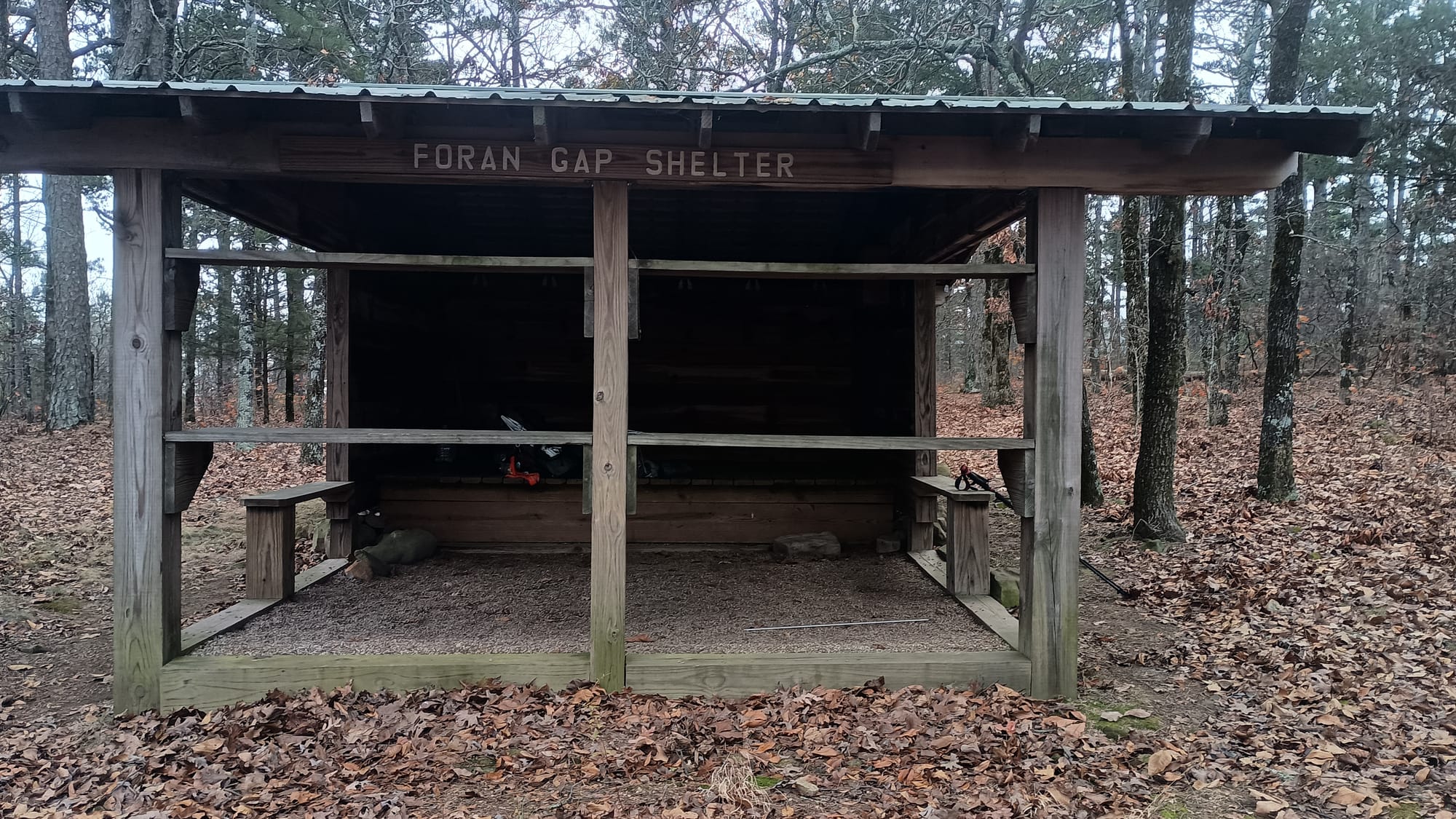
So far on the trip I had not seen very many other backpackers. I saw one within half hour of starting on day 1, but had not seen anyone else until day 4 when I met Blizzard. On day 5 I came across a party of 4 youth and 2 adults between Bushy Creek and Bushy Creek Mountain Shelter. At first I thought they were a Scout group of some kind. I was close. They explained they were "Trail Life." This is a group that splintered off of the BSA after the BSA faced public pressure in the wake of the Boy Scouts of America vs. Dale. In 2013 the BSA decided to be less closed-minded and allow homosexuals in. That's when this group decided they couldn't stand inclusiveness and somehow decent treatment of others violated their religious rights. Whatever. Clearly I'm not a fan.
Anyway, I saw Trail Life had signed the shelter log at Turner Gap Shelter, saying it was the second night on their 50 miler. When chatting with the leader I met, I learned they started at Foran Gap, and were headed to highway 27. When I read the log book at Foran Gap Shelter, I found they had stayed there on their first night, and that nobody had been to the shelter since. So I have a pretty good idea who left this:
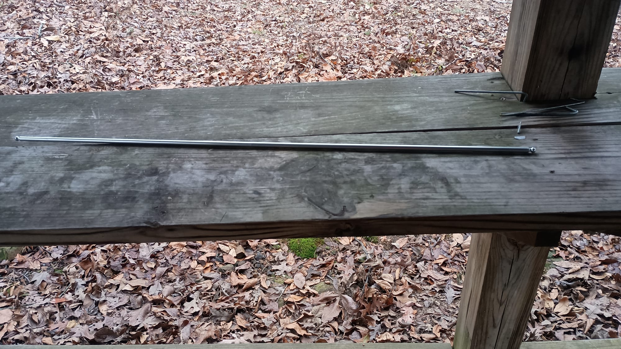
Bet they're going to want that. To be fair, I posted a picture of it on the Facebook group. I resisted my urge to dispose of it.
Anyway, I finished the last of my water eating lunch. There were two reliable water sources on the other side of the gap, and QWL was ~18 miles away. My plan was to stay at a campsite Far Out identified near mile marker 64, then hit QWL the following night.
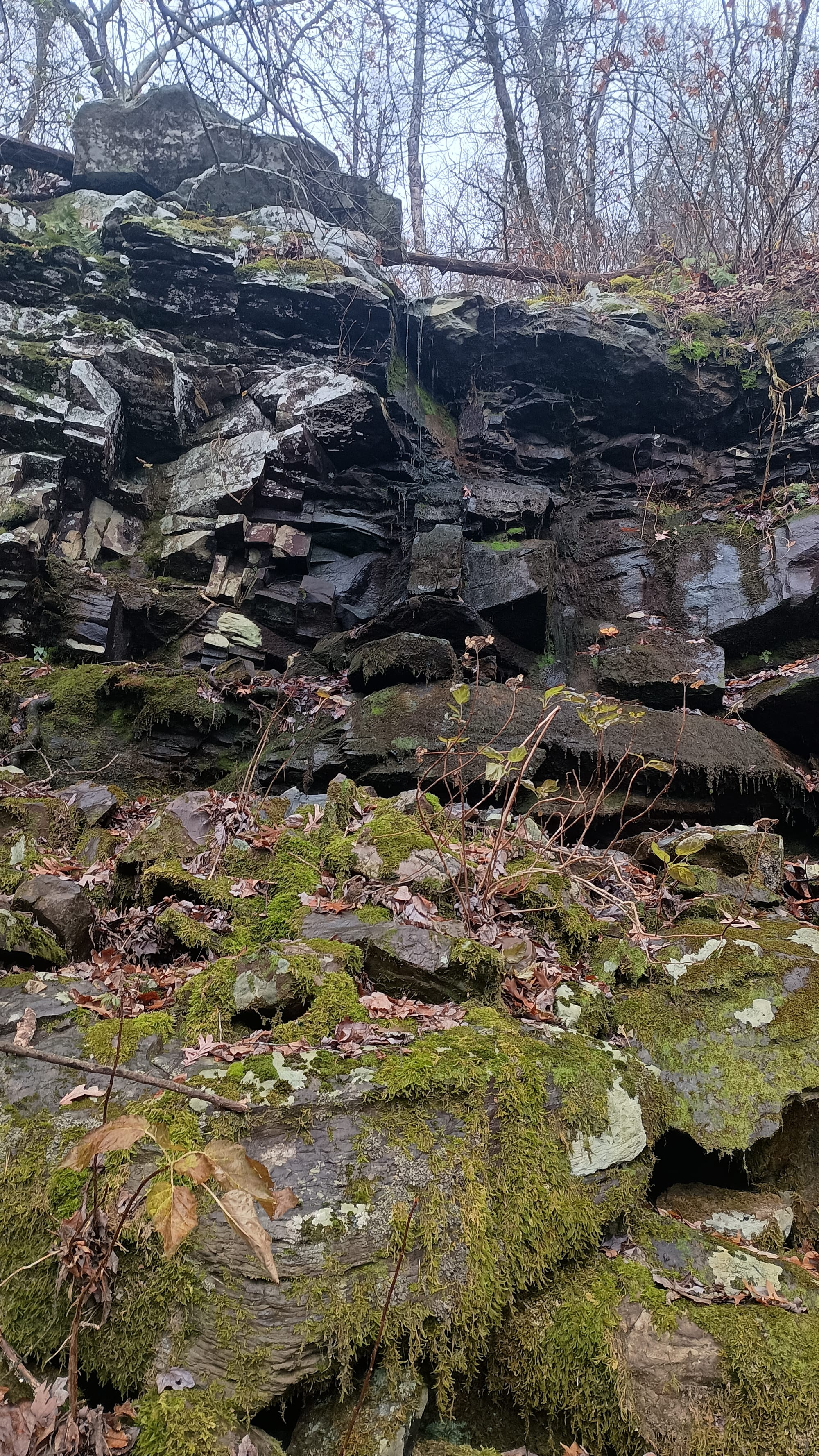
I tanked up at Cedar Creek on the far side of Foran Gap, then passed this "waterfall." It was just trickling when I went by, but apparently it's quite a sight after a good rain.
I made my way up the ridge (1000' climb) to my targeted tent site in a mist. As light was growing dim, I finally crossed paths with Jason Boyle, an Eastbound thru hiker who I had been following on Facebook. He was headed for Foran Gap Shelter for the night, having just come from QWL. He was resigned to finishing the day by headlamp. (He got a late start in order to enjoy QWL's breakfast.) We chatted for a few minutes, before I moved on. I reached my campsite around 4:30. This was the only time I used my tent the entire trip.
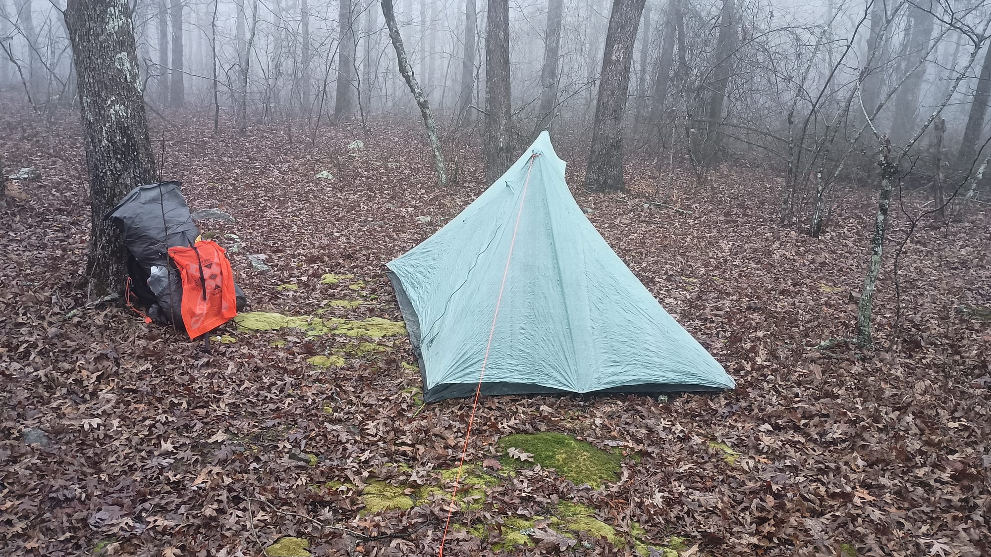
As you can see, it was misty/cloudy/rainy. I set up on what I thought was a nice soft mossy spot, and sat in my chair to rest. What I didn't realize was that there was a sharp rock directly underneath where I pitched my tent. I didn't feel it through my inflatable sleeping pad because it covered it up, but that rock quickly poked a hole in my tent and sleeping pad, relegating me to a sleepless night on the ground. Oh well. QWL was the next night.
Day 7: Tent site near Mile Marker 64 to Queen Wilhelmenia Lodge, 12.3 miles, 2525' ascent, 2400' descent. I finally gave up trying to sleep at 4:30 am. When I went to bed the previous night it was misty and warm (in the 50s.) Overnight the clouds moved on, and wind picked up. That wind dried off my tent, but brought with it other challenges, like lighting my Esbit stove. I eventually succeeded, but had to get resourceful to do it. After getting the stove started, I ate a double breakfast and started out for QML. It was very windy and cold. Maybe 30 degrees. As I waited for it to be light enough to make out the trail, I was treated to another beautiful sunrise, though with the characteristic obstruction of trees.
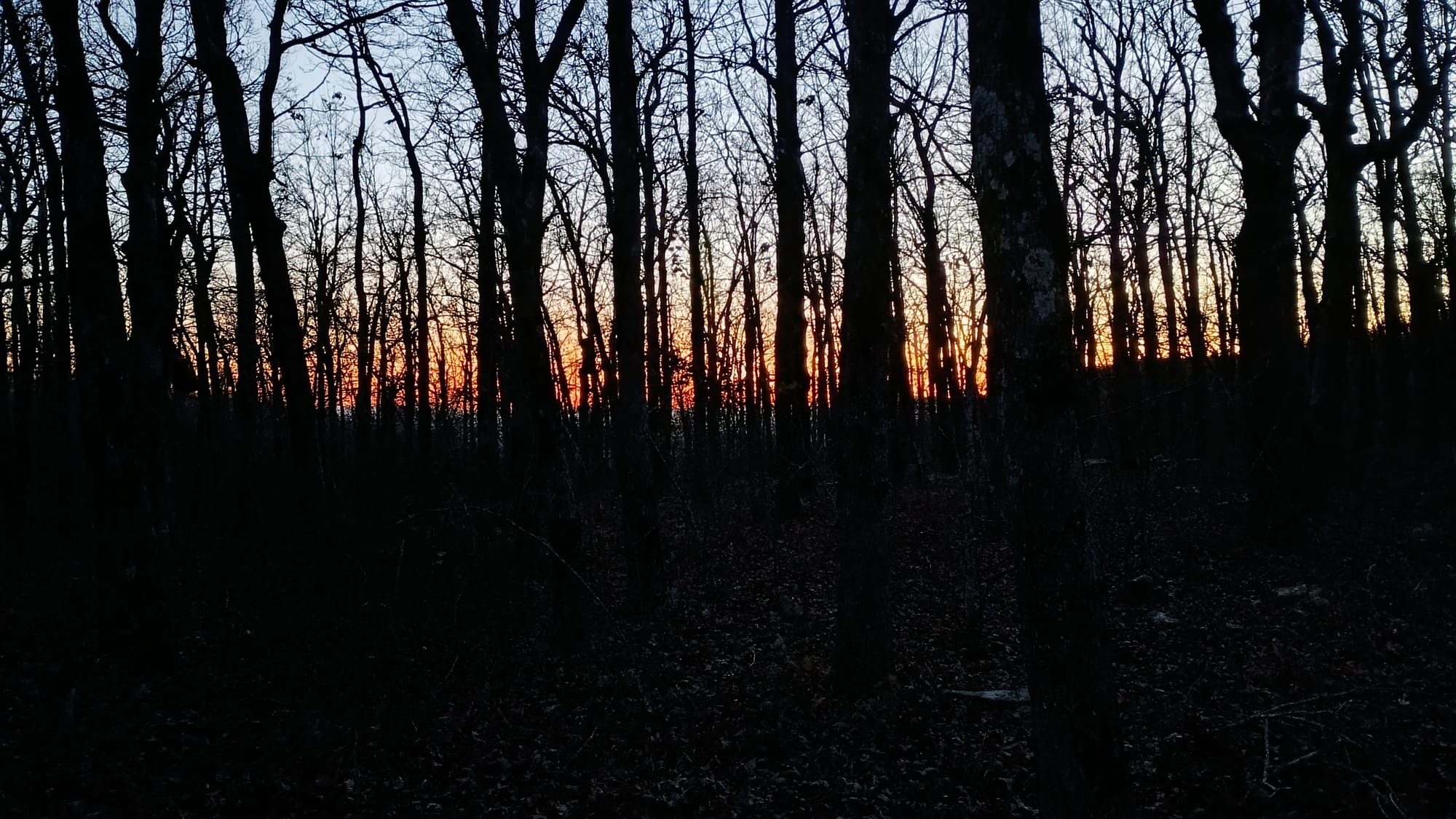
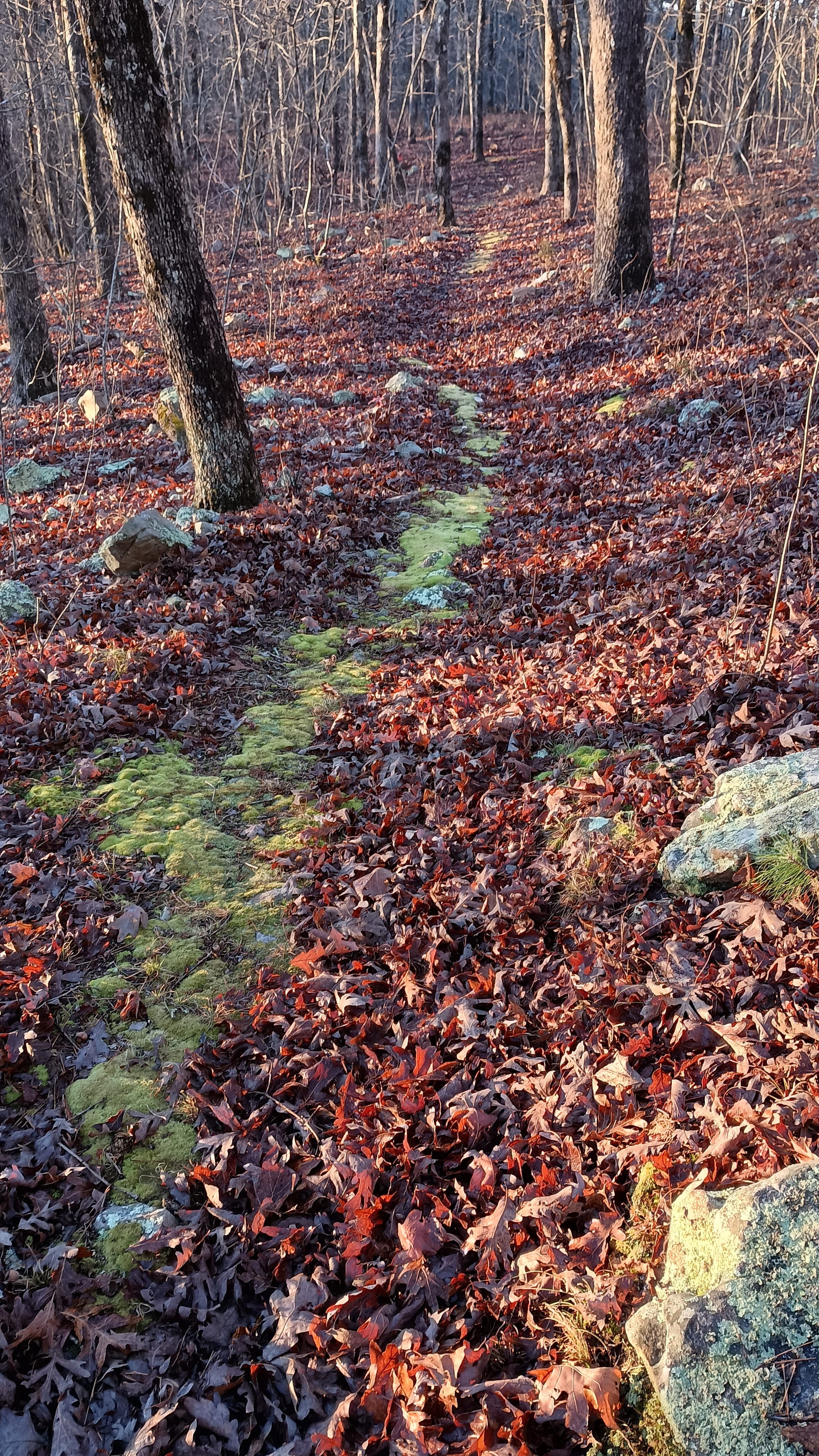
It never really warmed up on day 7 - the high was only 36 degrees. And that wind was brutal. Depending on where you were the topography either shielded you from the wind or not. The transition as you crossed over from one side of a ridge to the other was extraordinary. I was sore and hurting pretty good by this part of the trip. Aleve and Tylenol were the only things making it possible to continue on. Leaves covering rocks was a constant challenge - and made for painful shocks to my knees when I stumbled on the hazards they hid. Occasionally there were welcomed stretches like this moss-covered beauty, which I supremely enjoyed. Besides being soft to walk on, it made finding the trail easy!
Dropping down into Eagle Gap and Highway 270, I proceeded to cross the train tracks made famous by so many YouTube videos, then met Eastbound thru hiker "Hanna" on the bridge over the Ouachita River. We chatted for a few before I proceeded on, stopping to watch as a train came through. The climb from Eagle Gap up Rich Mountain was another easy grade-controlled ascent of roughly 800 feet. After reaching the ridge, but before Highway 89 / Skyline Drive, I met another thru hiker - "3-seat." He had stayed at QWL and gotten a late start - just like Jason Boyle - because he had stayed for breakfast.
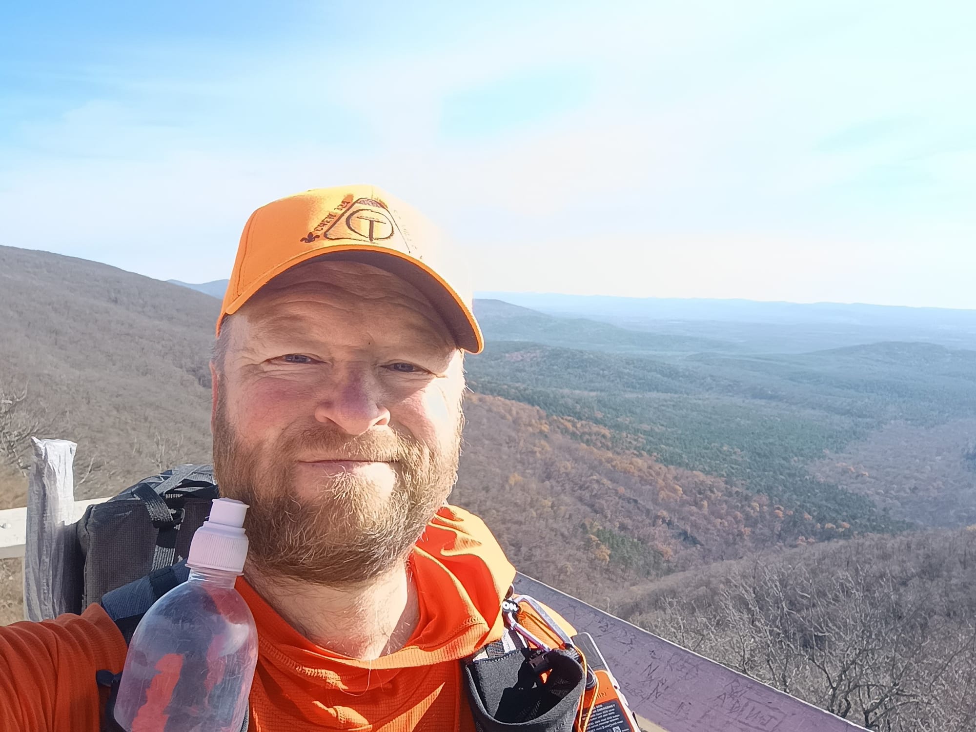
I really should have just taken Skyline Drive to QWL. The 2 miles from where the OT crossed to the top of Lover's Leap was a test of willpower. My knees were hurting / my Aleve & Tylenol were waning, the trail was rough and rocky, and it slabbed the side of the mountain without a flat tread to walk on. I got blisters from the side-hill action. And it was topped by a treacherous rocky climb at the end. I should have just taken the road. But no. That would be cheating. The trail made me earn those last 2 miles. But once I did I was treated to this:
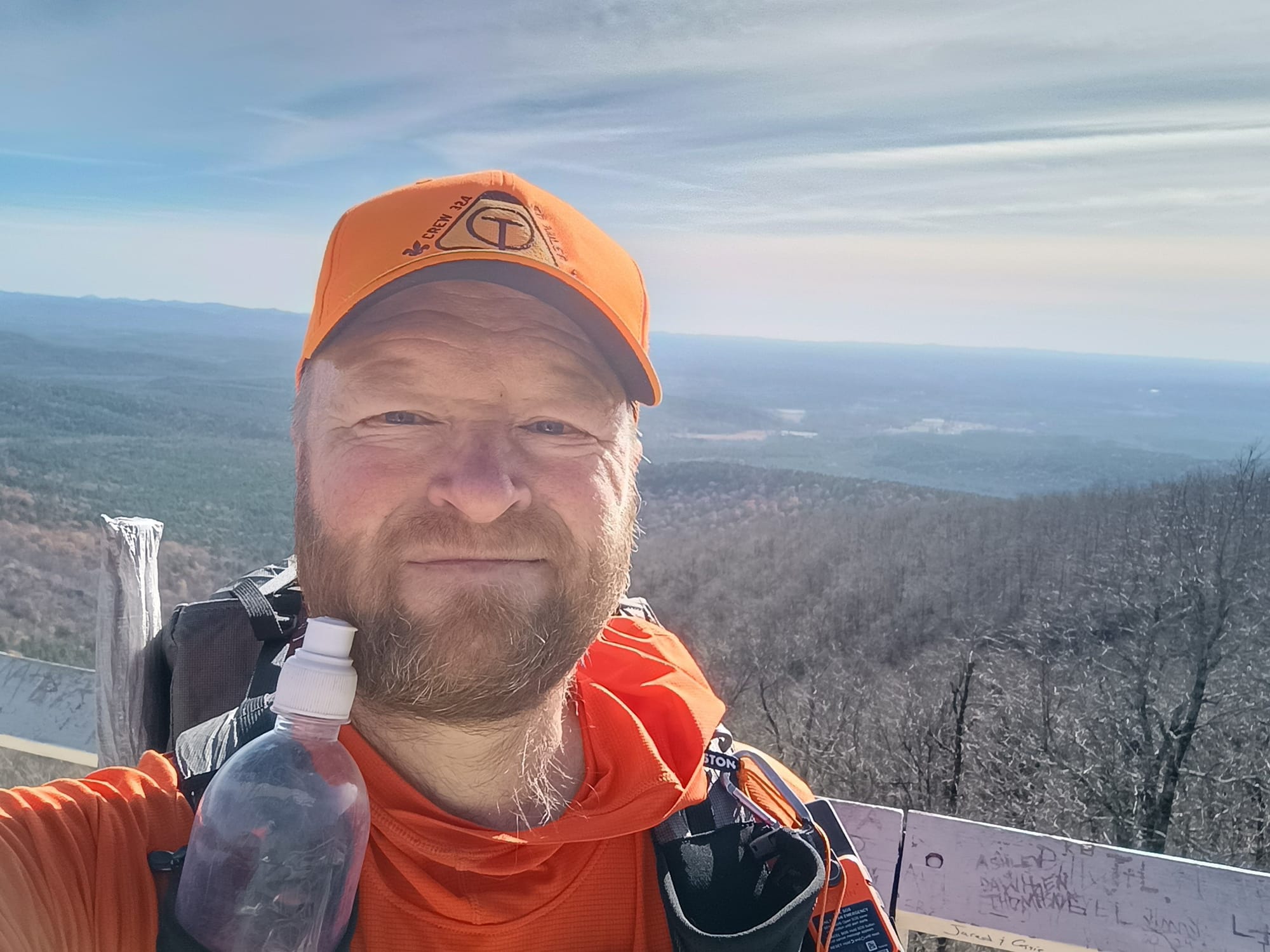
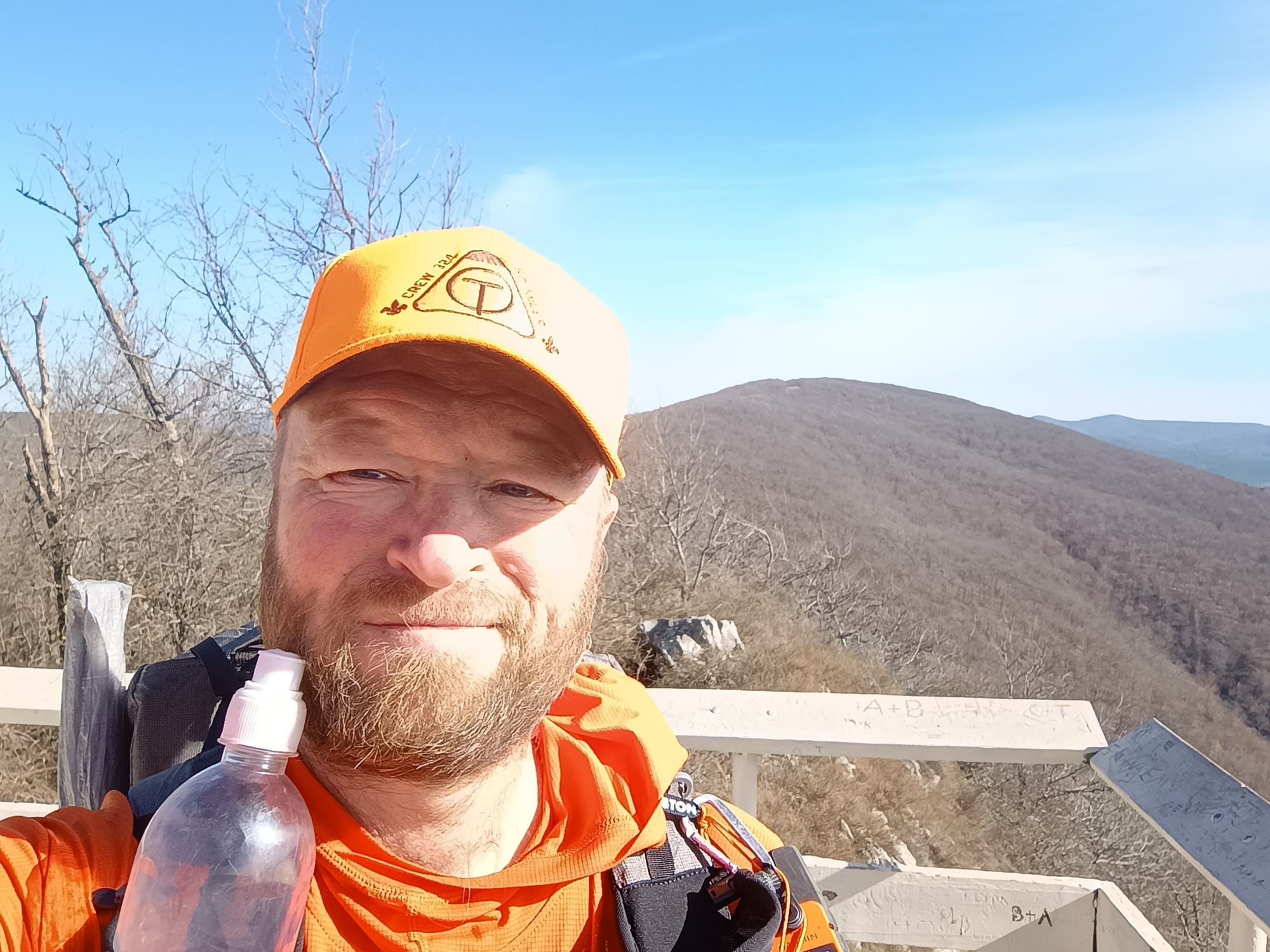
But first I had to climb these:
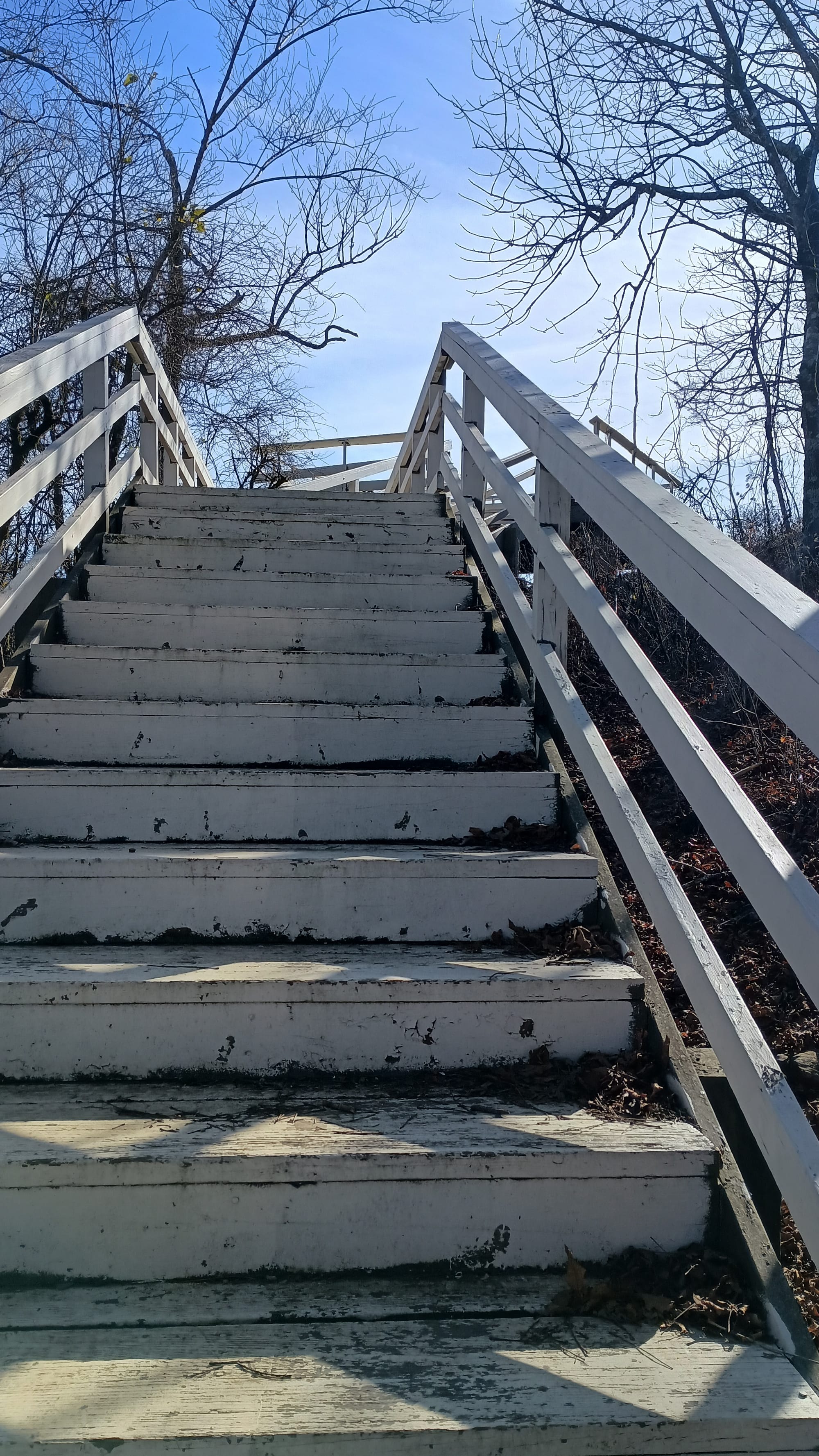
Soon I was greeted with this:
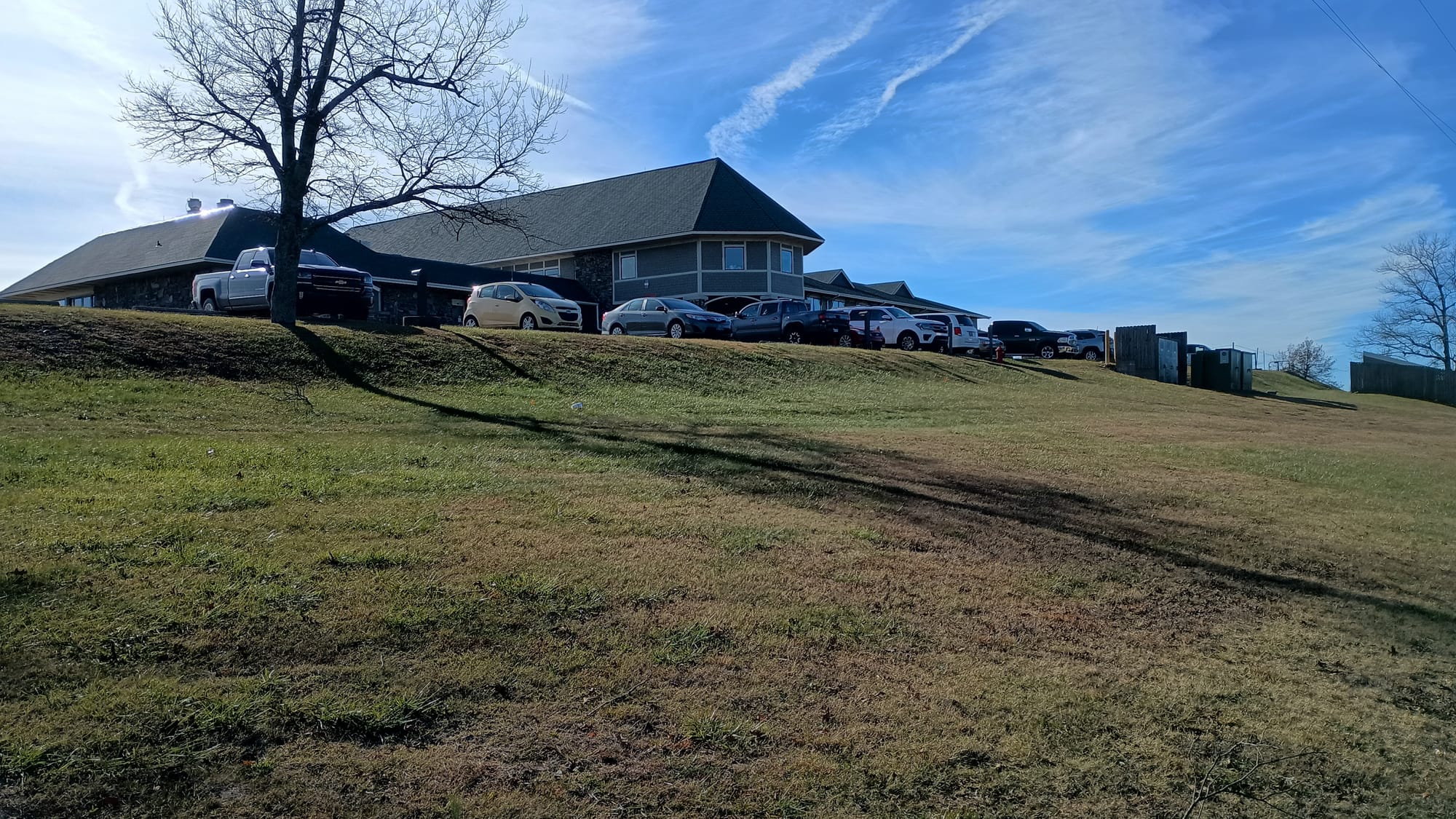
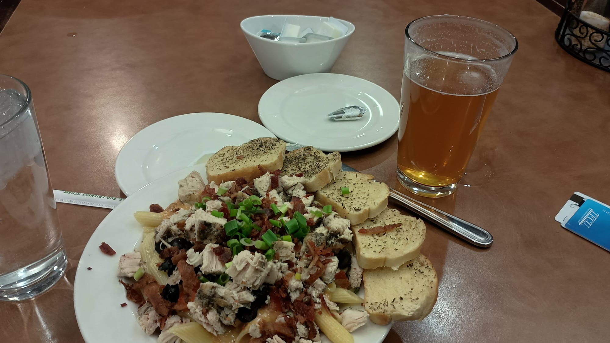
Where I took a shower, retrieved my resupply box, washed my clothes (by hand in the sink, because they didn't have laundry for guests), recharged everything, fixed my sleeping mat, and had this for dinner before going to bed early:
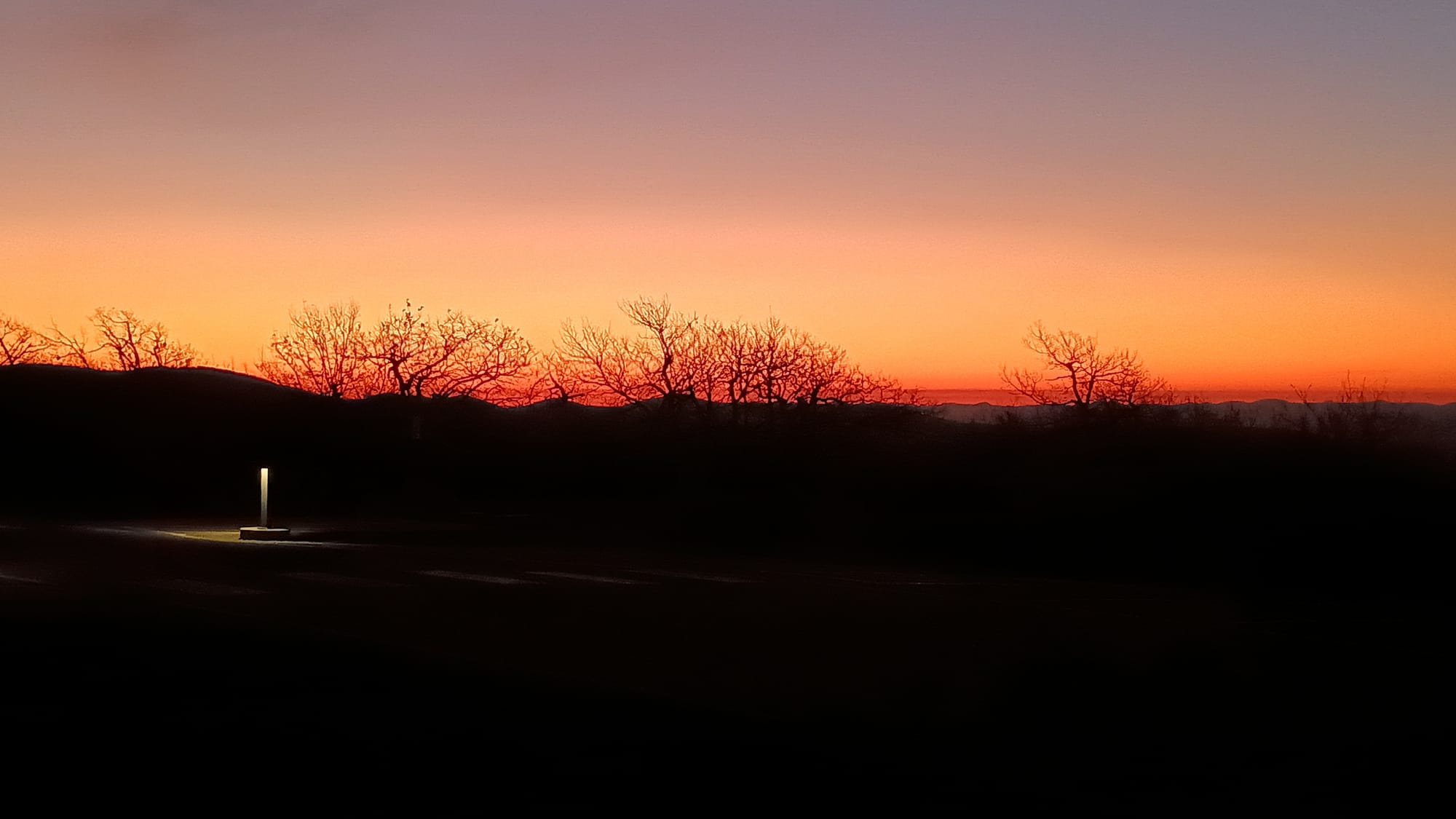
Day 8: Queen Wilhelmenia Lodge to Pushubbe Shelter, 17.5 miles, 2100' ascent, 3425' descent. I could barely walk when I woke up. I took max doses of Aleve and Tylenol with breakfast. The QWL restaurant didn't open until 8 am, and I knew I had a long day ahead of me, so I wasn't going to resign myself to hiking in the dark like 3-seat or Jason Boyle. Instead I chowed down on a cold breakfast by eating a lunch (snacks and protein bars), and saved the freeze-dried breakfast for later. (I didn't want to risk setting off a fire alarm using my stove.) I made sure to ditch all my trash before heading down to the front desk to wait for daylight. I had lucked out with my choice of a night for QWL: it was 25 degrees outside, which was the coldest for the entire trip. However, I was treated to an absolutely gorgeous sunrise
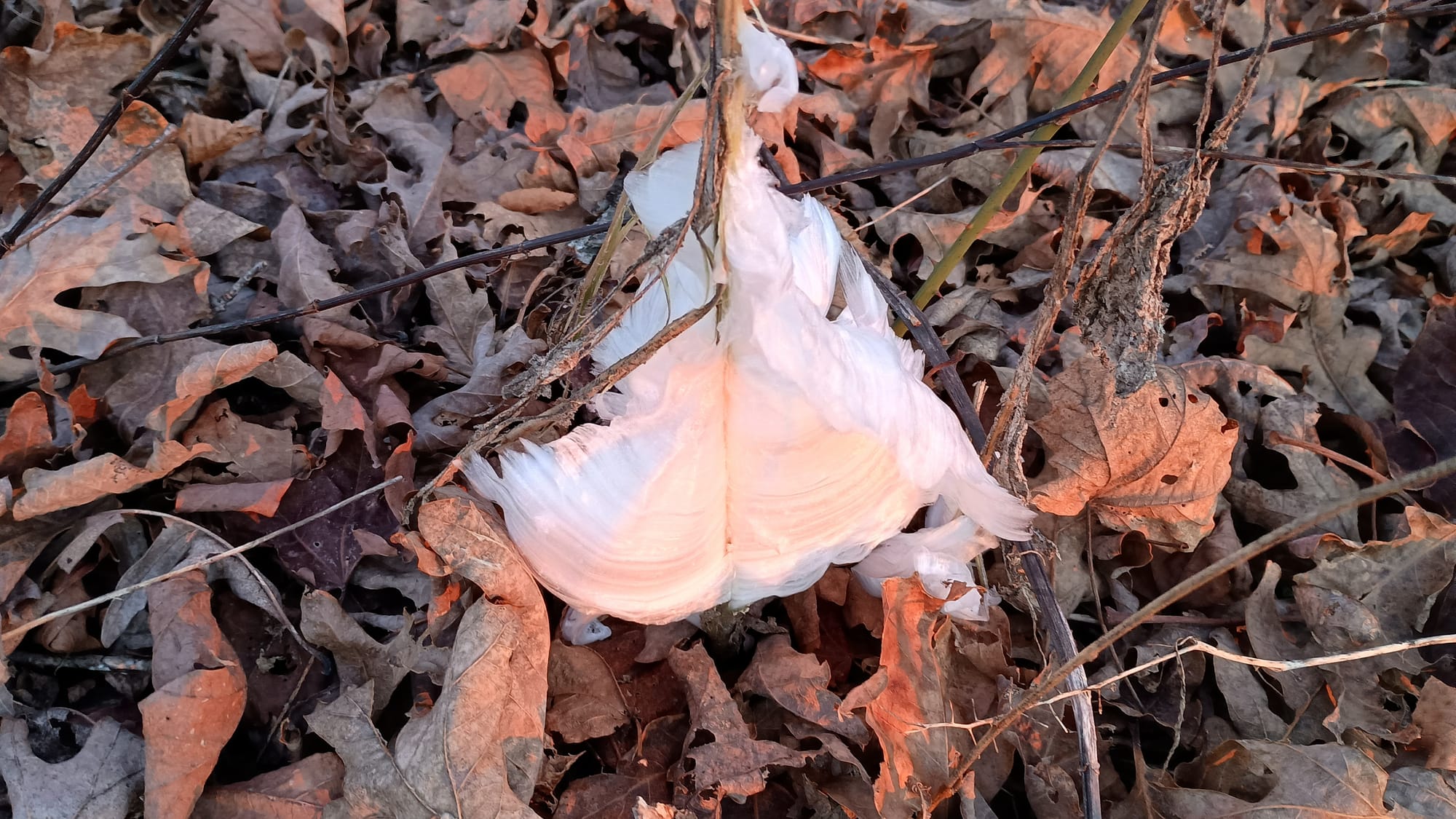
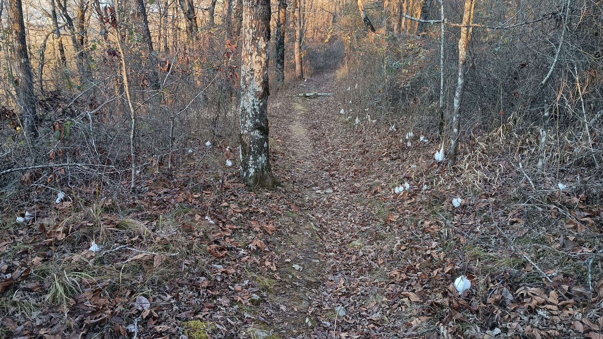
I started walking, very slowly given my knees, at 6:45. The trailside was littered with these white things. At first I thought it was trash from the roadway, until I inspected closer. It turns out they were ice formations.
And they were everywhere.
Just short of State Line Shelter I met a group of 3: "Papa Hub", Chris, and George. They had stayed at the shelter, and were headed for QWL for breakfast. Chris had started at Talamenia 4 days before and was joined by Papa Hub and George at Pashubbe shelter. Chris complained about the roughness of the trail, and all indicated they were going to quit at QWL.
I pushed on, slowly, taking it easy on my knees. They really hurt. All of the forced-marches and road walks earlier in the trip were really taking their toll. I was now resigned to mitigate the discomfort chemically and not make the problem worse by resisting the urge to go fast on flats and really taking my time on downhills. The trail from QWL to the OK/AR border was pretty flat and uneventful. Of course, I'd be remiss if I didn't take a picture of this:
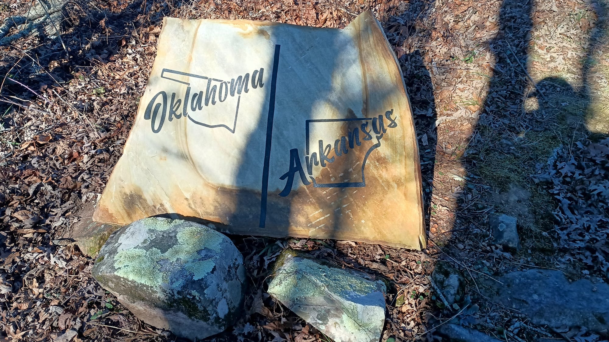
Past the state line, I began the long descent into the Kiamichi River Valley and the famed 8-river crossings. The river was pretty low, so I could easily rock hop across and stay dry. I've seen YouTube videos of this river following significant rains, so I was grateful (for once) that I was in a dry spell. At the end of the Kiamichi River valley the trail went up and over a shoulder of Wilton Mountain before ending the day at Pashubbe shelter. The climb was good, but this was another example of where the trail never summitted. It was climbing a ridge only to go back down again. Sigh. I was really slow this day due to the condition of my knees. It was nearly dark when I rolled into Pashubbe Shelter.
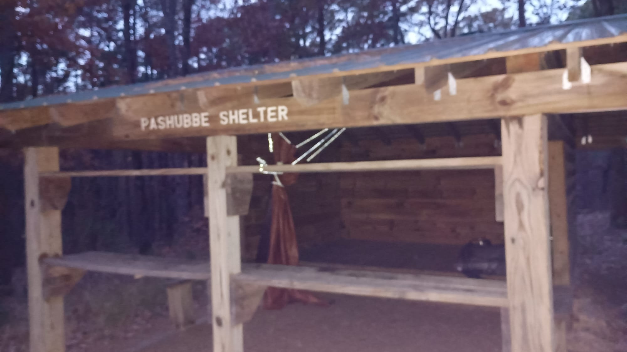
Pashubbe Shelter is at mile marker 34.1. The end was in sight. One of the nice things about Pashubbe (and of course QWL) was that I had full cell service. I also had fully recharged battery banks, so I didn't need to be frugal with power consumption. In addition to updating things on Facebook and watching my favorite YouTube subscriptions, I communicated with a few OT pros and plotted my course for the remaining 34 miles. I would shoot for Holson Valley Shelter the next day (another 17 mile day) then split the remaining 17 miles into 2 days so as to take things slow and easy on the rocks.
Day 9: Pashubbe Shelter to Holson Valley Shelter, 17.3 miles, 3475' ascent, 2675' descent. This day started with a 4 mile jaunt to the crossing of Route 259 and Big Cedar River, before beginning what I was told was the "toughest climb on the OT." The total elevation change was roughly 1400 feet, so not really that big, but the biggest on the OT. First I had to "summit" Rough Mountain. Again, the trail does 95% of the work, then just skirts around and doesn't summit. Grrr.

After which the trail descends to a saddle between Rough Mountain and Winding Stair Mountain. The climb to Rough Mountain was about 1100 feet. The descent to the saddle was about 300 feet. The climb from the saddle to the top of Winding Stair was about 600 feet. The name "Winding Stair Mountain" clearly was named for the trail from the saddle to the top. As the count said, "30! 30 switchbacks! Ah Ah Ah!" This climb wasn't really all that difficult. I kind of enjoyed it. Thankfully wind had cleaned all leaves off of the trail so I didn't have to worry about hidden hazards.

But the top afforded a pretty decent view of the southwest:
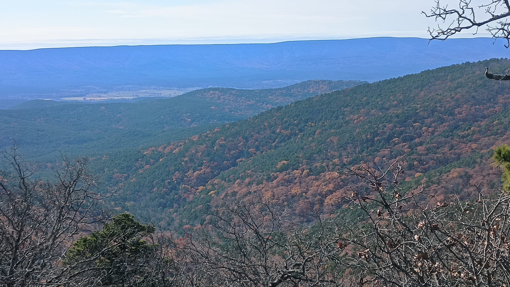
Right after reaching Winding Stair Mountain Shelter, I found the foundation/remains of a forest service fire tower, and the famous rock cairn marking the top. Finally! A summit!
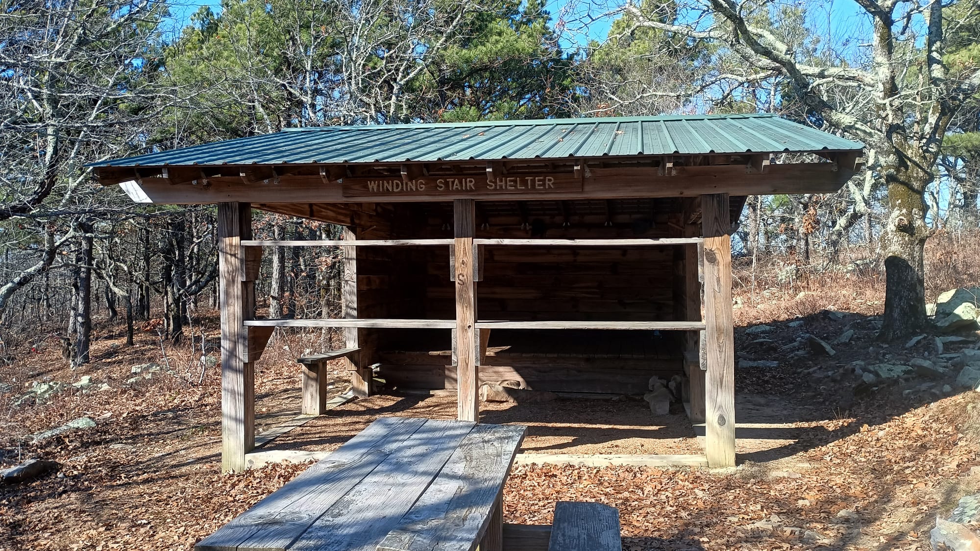
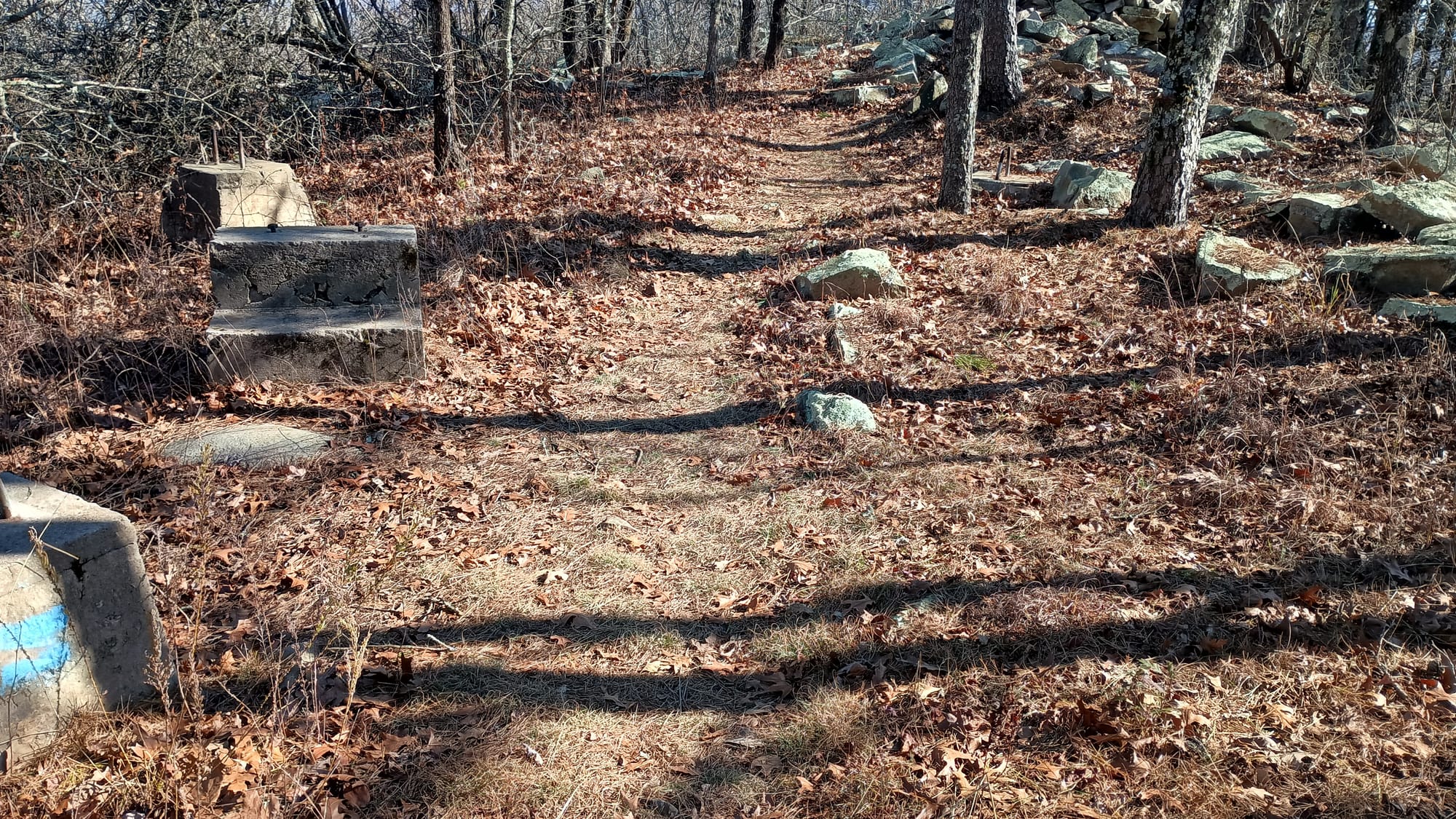
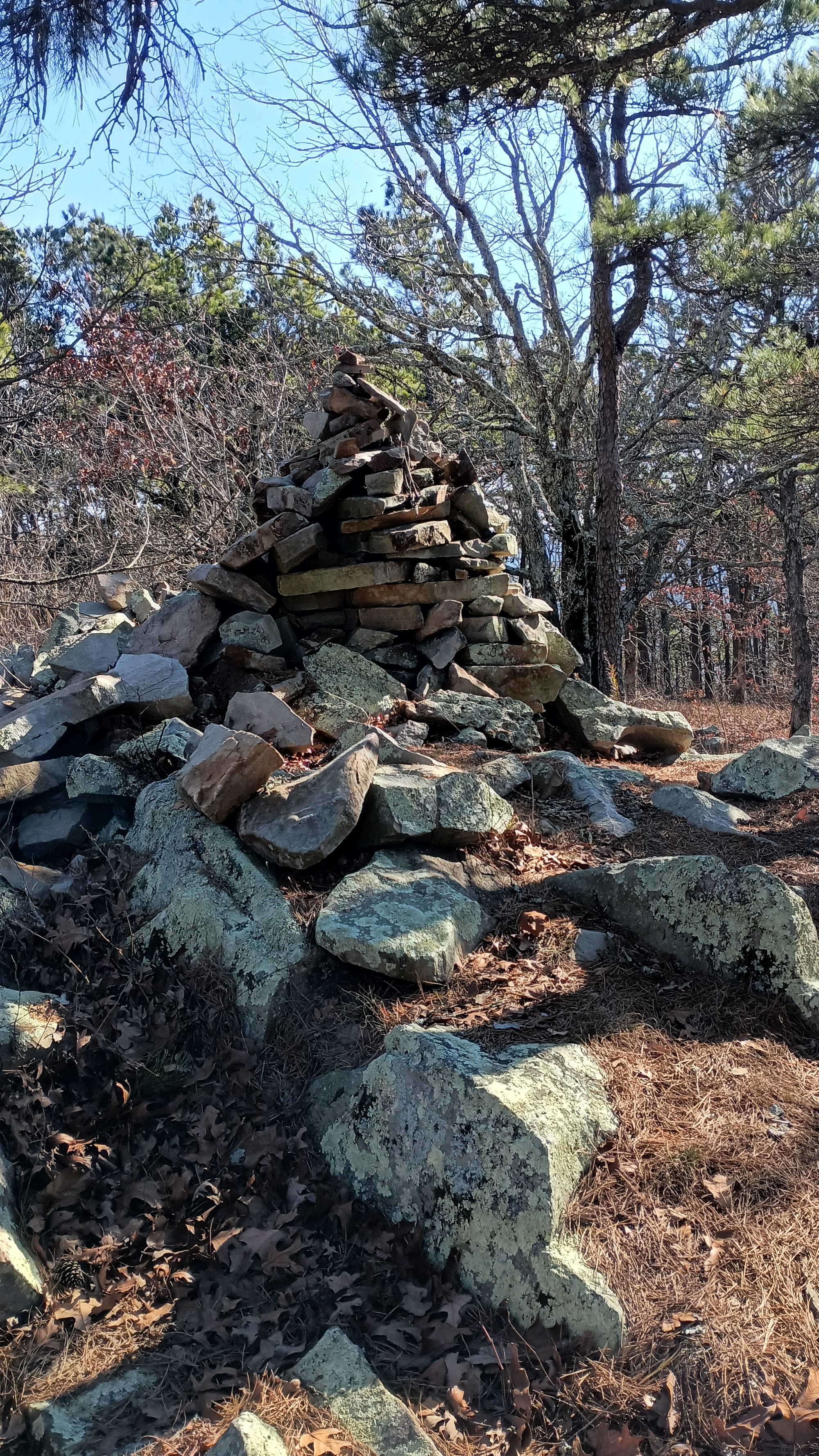
I had a quick snack at Winding Stair shelter before the descent to Winding Stair campground. I was pretty sore, so I took more Aleve and Tylenol before moving on towards Horsethief Spring, which I hit around 3:00 pm. After requisite pictures, I pushed on toward Holson Valley Shelter. Soon thereafter I met a thru hiker - "Alex" - who had started out that morning and was pushing to get to Winding Stair Shelter that night. He said he didn't mind hiking in the dark - which was good because he only had about 2.5 hours of light left. But holy cow! He had done 20 miles by 3 PM - up some steep stuff and across the rock garden. He was shooting for 25 miles his first day. Wow!
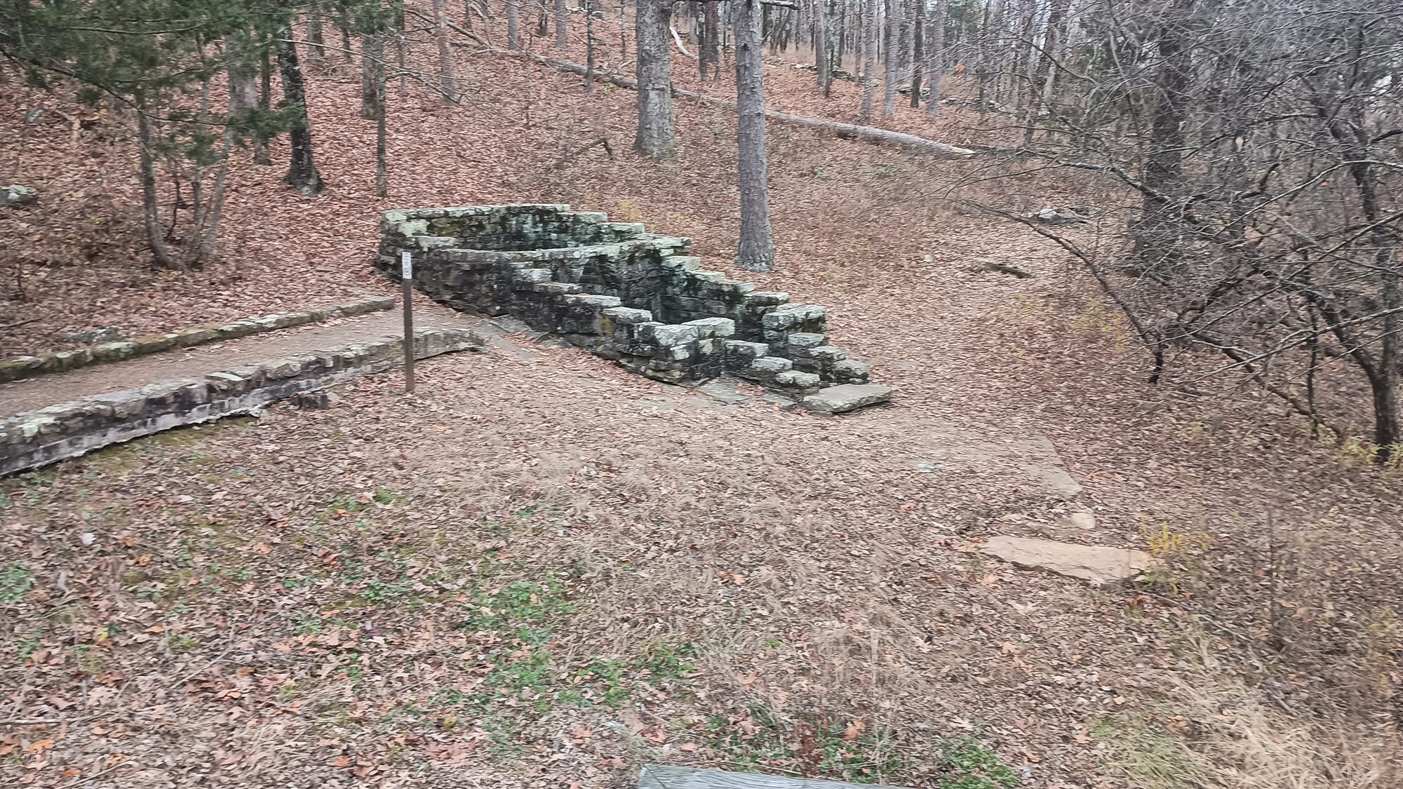
The last mile of trail from Horsethief Springs to Holson Valley shelter replaced those 2.5 miles preceding QWL as my least favorite section of trail. In the hiking world there is a thing called a PUD, or Pointless Up and Down. Usually this is in relation to the ups and downs on a trail as it follows a ridge, or else some topographical feature that a trail ascends then descends that it could have easily avoided, or to which there was no real reason to go over. The OT, between mile markers 17 and 18, takes this concept to a whole new level of insanity.
As the trail parallels the ridge, it could not decide at what elevation it wanted to be at. It repeatedly ascended, then descended only to turn right around and do it again, over and over. And the whole time the tread of the trail was not flat - it was angled to the side - making walking very difficult. It was almost like they figured that more mileage or elevation change was needed, so in order to make the trail longer and get more elevation change, it would just add switchbacks to repeatedly go up and down the side of the ridge. It made no sense, accomplished nothing, had no purpose, and just served to piss me off. Oh, and the OT has these green viny thorn/pricker bush things that you constantly trip over and scratch yourself on. This section of trail is chock full of those invisible bastards. What a miserable mile.

Anyway, Holson Valley is supposed to be beautiful. But by the time I got there, daylight was fading and a mist had set in. Sadly I never got to see Holson Valley.
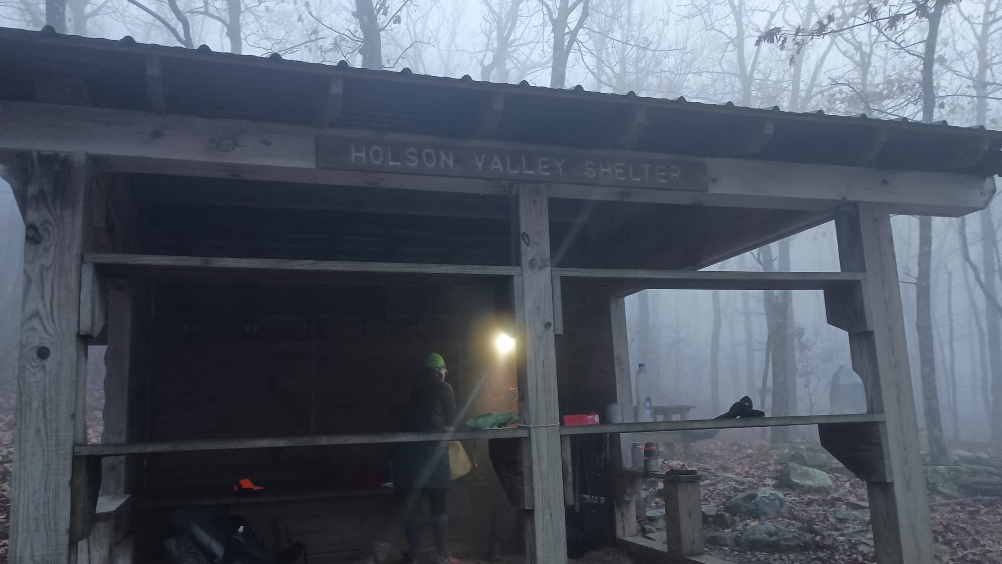
Night 9 was the only time I had any company in any of the shelters I stayed in. When I arrived "Cowgirl" and "Long Beard" had already set up. They were section hikers and had come up from Talamenia that morning. We traded stories while cooking dinner and soon were off to bed as "hiker midnight" (aka dark) hit. We lowered the tarp over the shelter door as it was quite windy and rain was moving in. It rained significantly over night, though the temperatures stayed warmer
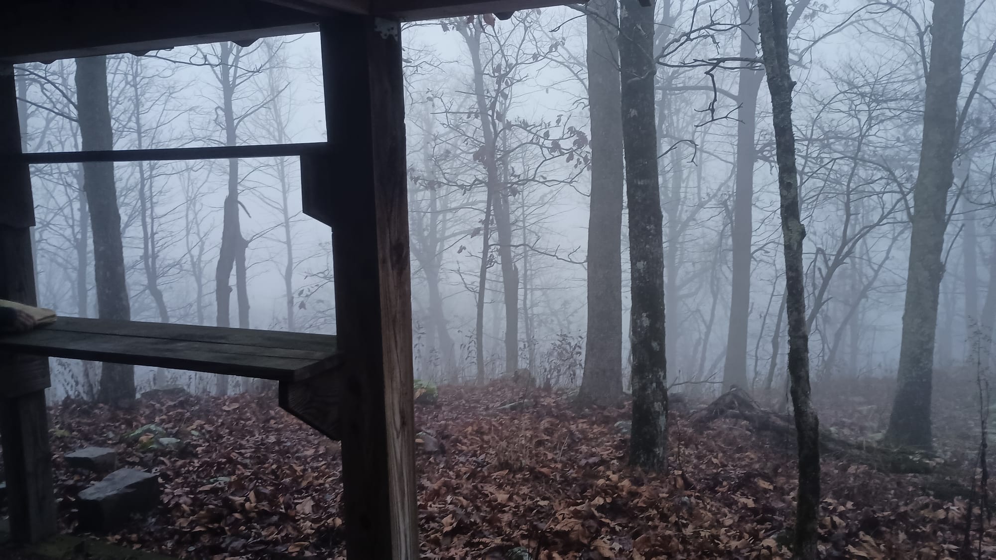
Day 10: Holson Valley Shelter to Rock Garden Shelter, 8 miles, 1250' ascent, 1825' descent. I awoke to this:
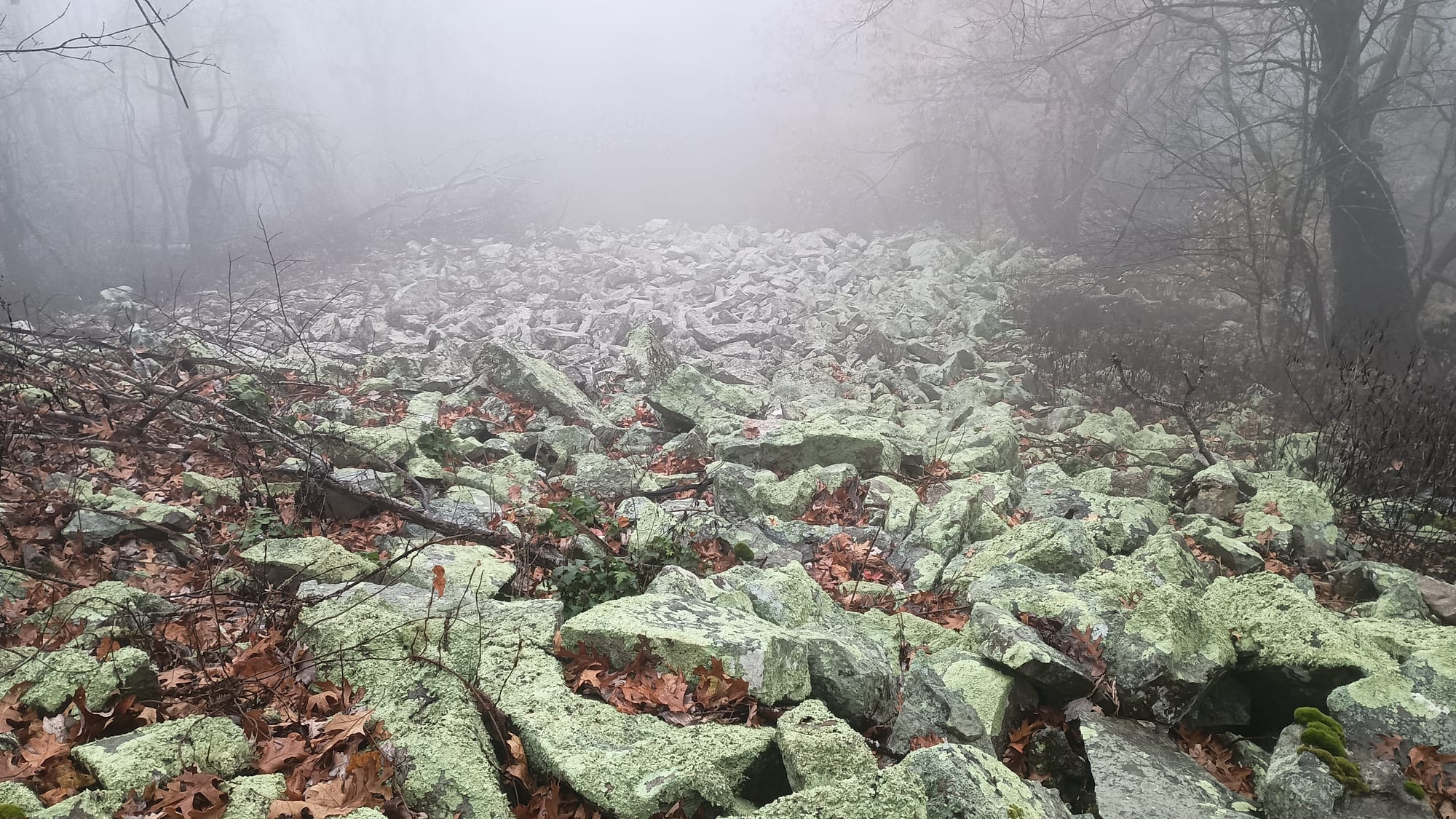
I had already planned on taking things slow on this day as I was going to cross the notorious "rock garden" or "rock glaciers" that nearly every YouTuber complained about. I was also seriously sore and the rocks were wet. I had 10 hours to go 8 miles. JetGirlHikes, a Facebook friend I had been communicating with, indicated that she loved this section of the trail after it rained because the rain made the lichens and moss "pop". That was a cheerful and pleasant thought as I struggled down the trail. As soon as I saw this, I had to agree with her:
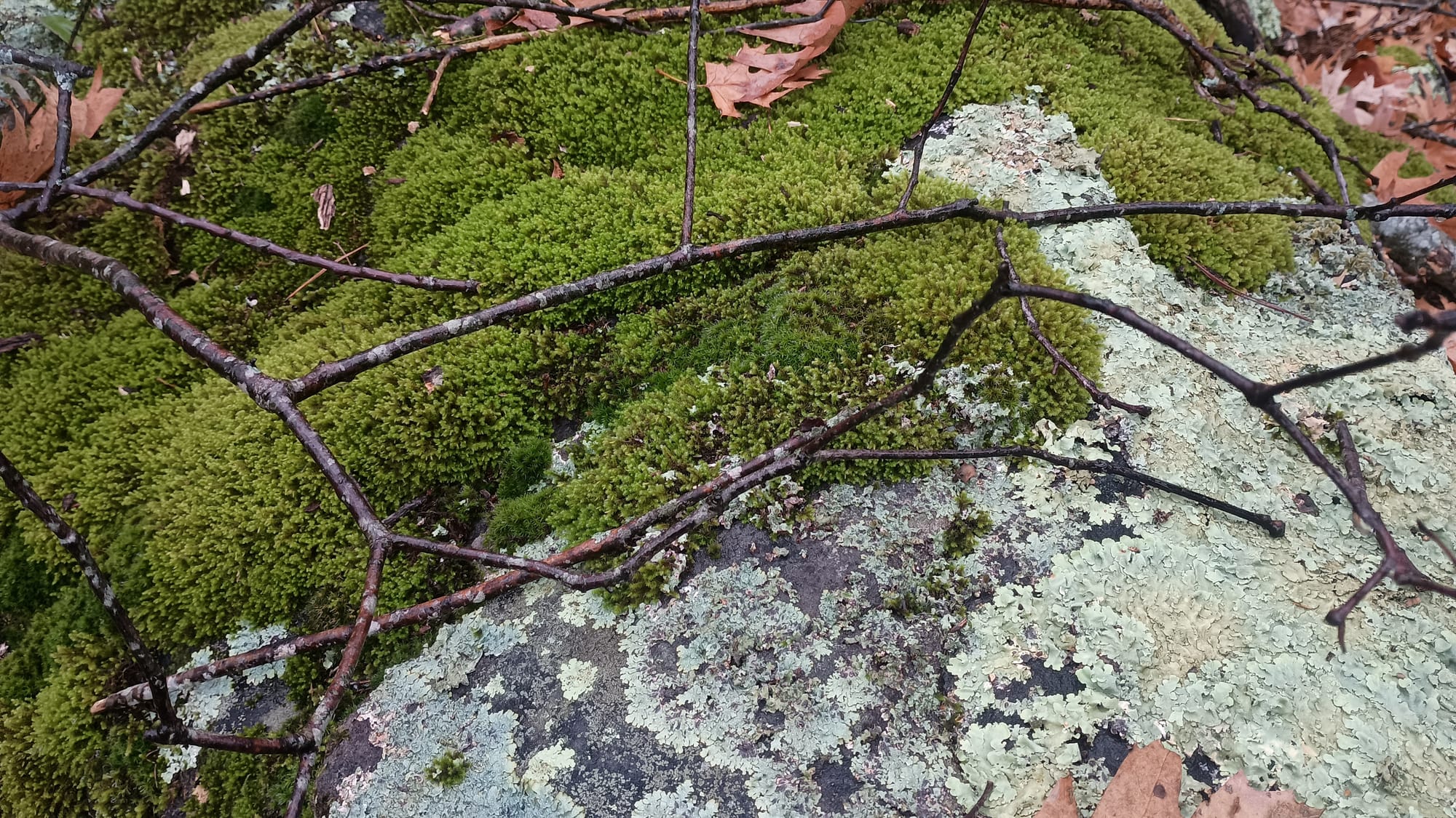
The vibrant green cheered my spirits as I struggled along. I got into Rock Garden Shelter around 12:30 and spent an uneventful night. I watched lots of YouTube and surfed plenty of Facebook.
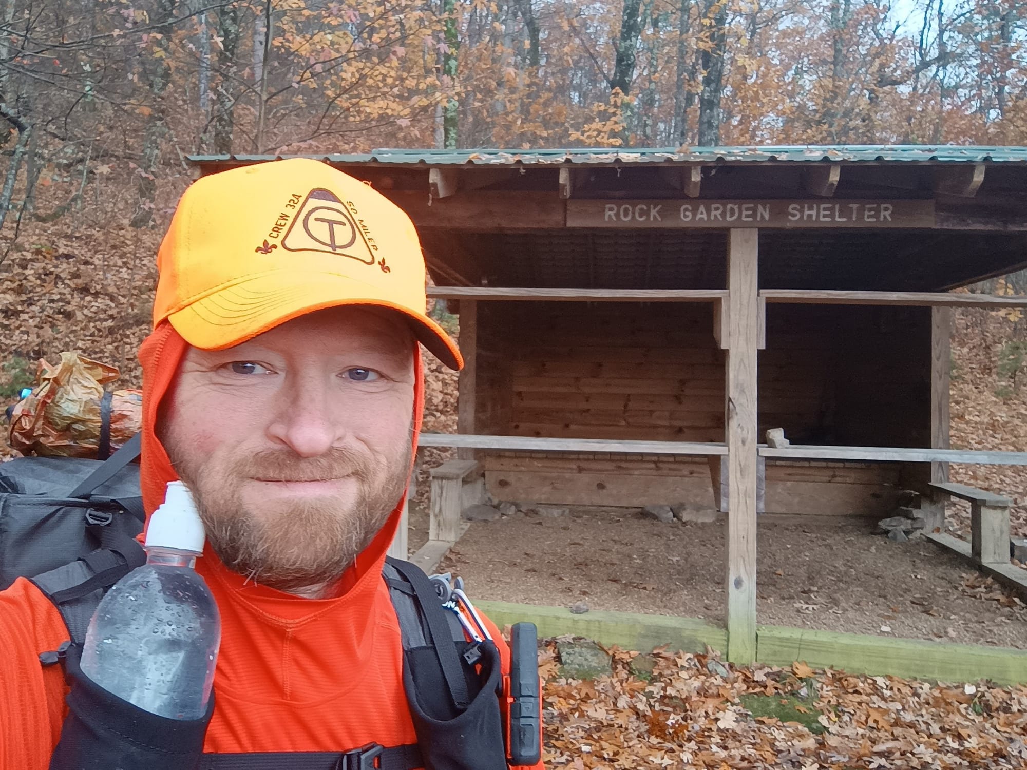
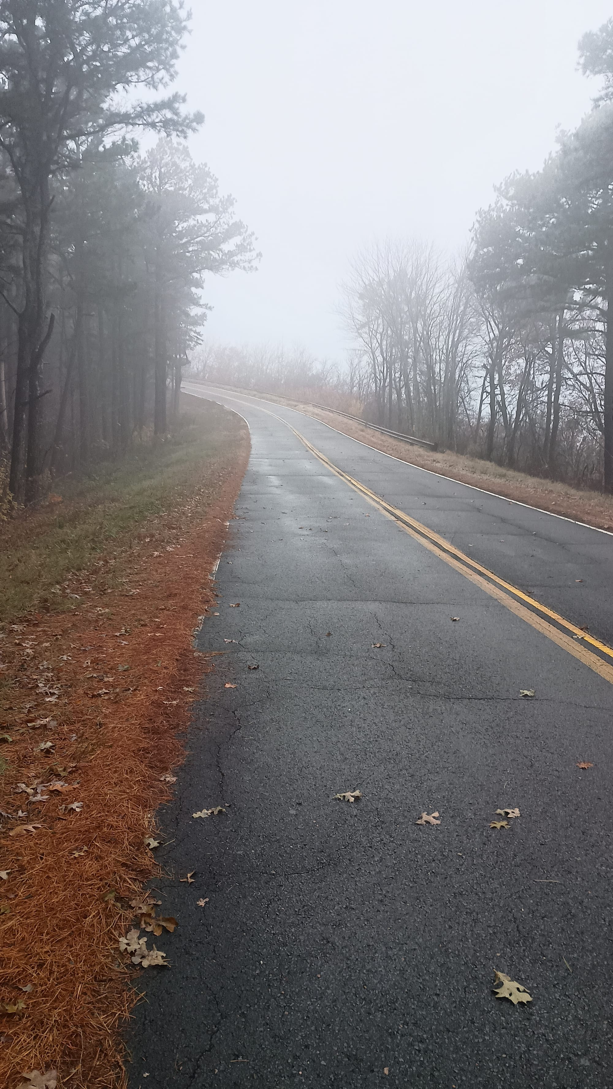
Day 11 - the final push - Rock Garden Shelter to Talamenia State Park. 9 miles. 1250' ascent, 1825' descent. I had messaged Lori at Blue Bell to schedule the pickup at 1:00 PM. I was pretty sure that I could make it by 12:00, but I wanted to give myself some leeway. It was 9 miles, and wasn't supposed to include anything like the Rock Garden. The two navigation points of interest were Talamenia Scenic Highway crossing - aka "Dead Man's Gap" - and "Potato Hill". I crossed Dead Man's Gap in a foggy mist, and the view from Potato Hill was equally misty/uninspiring. Really, the last day was about managing pain and the "count" who counted down each mile as it passed.
Which brings me to a rant. I had tried to take pictures of each of 5th mile marker throughout the trip. I got most of them, but not all. And that's not because I forgot or didn't know where they should have been. Some just weren't there. I saw all sorts of things with respect to mile markers on the trail - from some that had the survey post but were missing the sign, to some that had the sign but I couldn't find the post, to some where the sign consisted of someone spray painting on a tree, to some where there was a hand-scribed/scratched sign, to some where there were multiple signs (in vastly different locations) for the same mile marker. While I would like to put together a slide show counting down (160, 155, 150 etc) some signs (like 90) physically weren't there. However, I was determined to at least do a final countdown. 6, 5, 4..... wait, where the hell is 3? I back tracked and eventually found the post (incorrectly marked as "6" when it was actually 3), but no sign
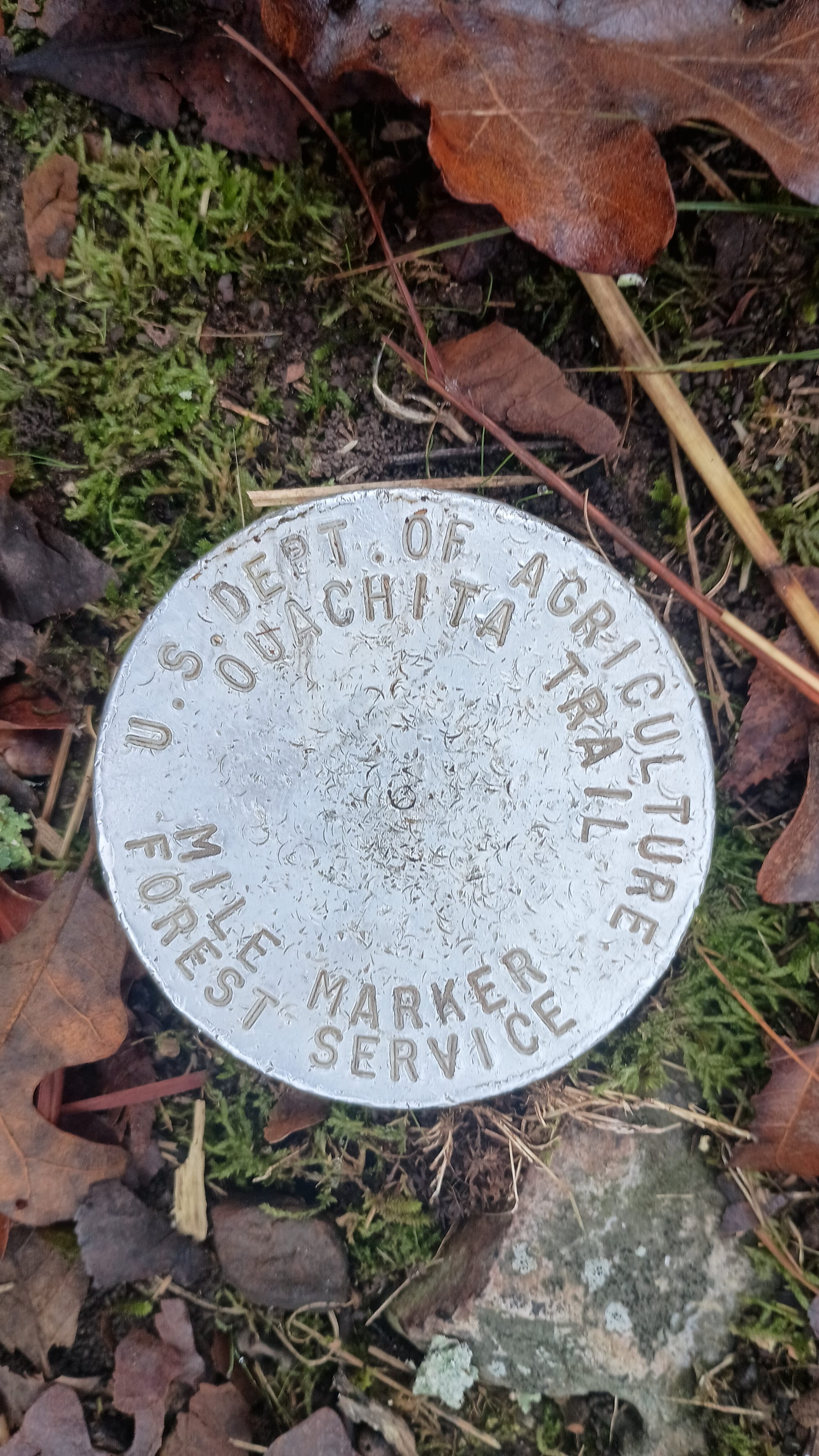
Whew! Well, at least it was something. So I kept hiking on. A quarter mile later I came across....
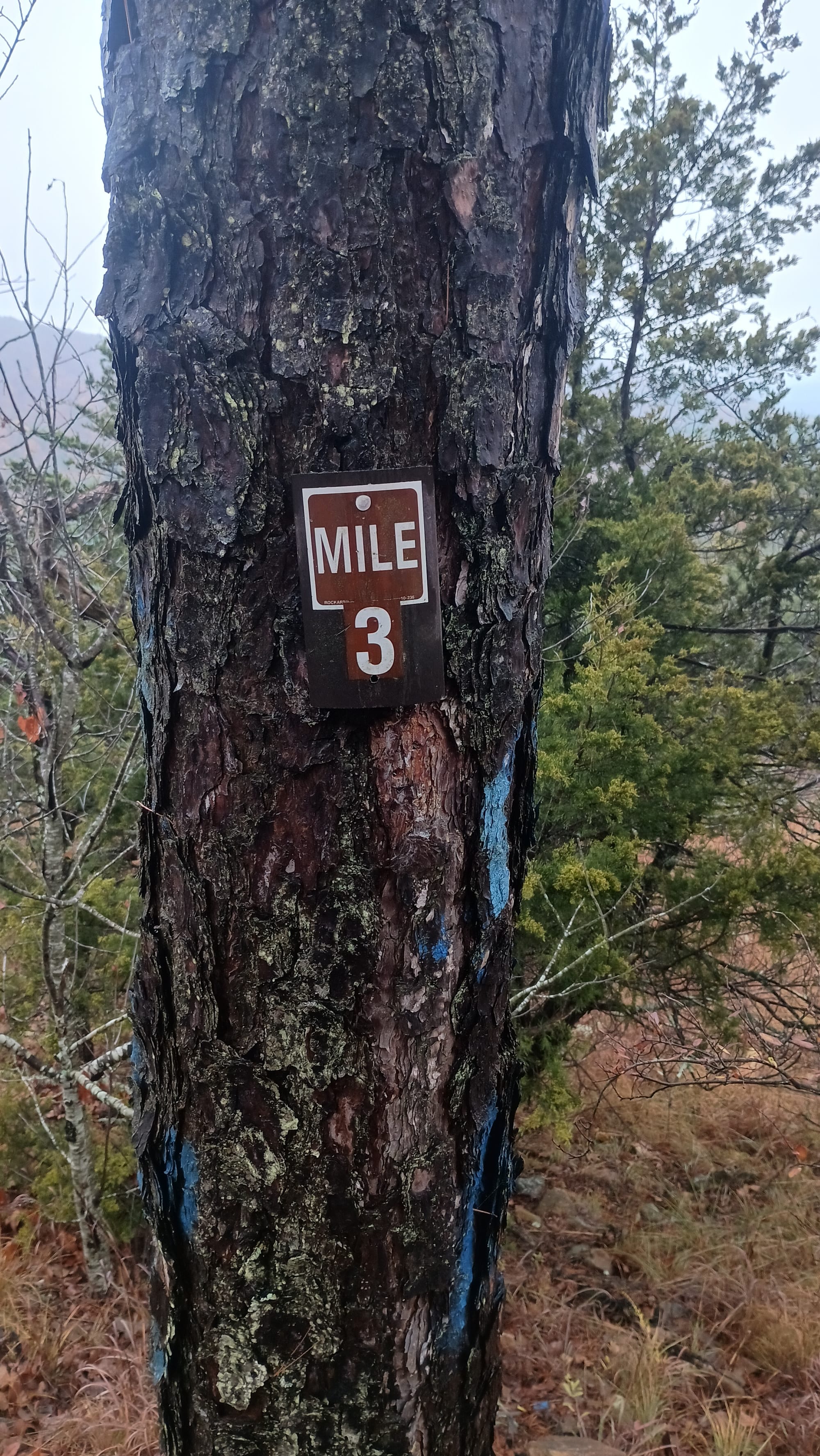
In completely the wrong location! Whatever. I've seen it all.
The countdown was really the highlight of day 11. With the mist, even the few viewpoints that the trail did afford were uninspiring or completely socked in. Eventually I came to:
I arrived at 12:15 pm. After finishing, I walked into Talamenia State Park, found a bathroom, changed into the only clean clothes I had (my Alpha Direct layer) then sat in my chair awaiting pickup and transportation back to Blue Bell Cafe. Lori's son, Matt, picked me up, and we enjoyed a pretty decent conversation on the 2-hour drive. When I got back to the cafe, I had Lori fix me one of her famous burgers. I chatted with her about when I would return to complete the eastern most portion (that got skipped because of the Scout that got injured) and coordinated to help her sell OT patches by giving her the embroidery file in case she wanted to contract to have a bunch made. I thanked her profusely for all of her logistical help, and hit the road about 4:30 for the long drive home.
Thoughts
The Ouachita Trail is best done from late fall to early spring. I would not want to try hiking it from May 1 to November 1 as insects and temperatures would make it miserable. Thanksgiving through Spring Break are popular times. The problem is that days are short this time of year. For me, it just started to get light enough at 6:45 am, and was too dark to continue at 5:15 pm. That was 10.5 hours of light. I dislike night hiking in general. I highly advise against it on the OT given how poorly marked the trail is in many places, and the propensity for oak leaves to cover hazards.
The shelters on the OT are fantastic. The only problem with them, in my opinion, is their spacing. It felt like there were 3 choices: 1) 8-11 mile days where you'd be staying in shelters every night, 2) 12-15 mile days where you'd have several nights in a tent, 3) 16-22 mile days where you'd be staying in shelters nearly every night. Originally I opted for option 2, but quickly revised that to option 3. The problem was that 17+ miles takes me about 8.5-9 hours, which didn't leave much daylight margin. The safety imperative (i.e. not night hiking) drove me to walk faster than my body could comfortably sustain without consequence. As a result, a week after finishing the hike, I am still nursing sore knees (arthritic flare up) with Aleve and Tylenol. If I were to do it again, I would opt for late March or early April when there is 1-2 hours or two more usable light.
I did not find the OT difficult. There are sections that are poorly marked, and some that are rocky/hazardous, but even the most extreme climb of the trail wasn’t very difficult. One thing that surprised me was how sore my calf muscles were the first few days. Because most of the trail was designed by the forest service, it is graded. You are not often climbing up steps like on other trails, rather, you are on long inclines and switchbacks. These stretched my calf muscles. I trained for the trail on a stair master. I should have trained on an inclined treadmill instead.
To say the trail is sparsely used is an understatement. I only met a total of 17 other hikers over the course of the entire trip, 6 of which were in one group, and 3 in another. Of the 8 nights I spent in a shelter, I only shared a shelter 1 night. I did not see any day hikers.
The shelters on the trail are in excellent shape and a fantastic design. The porch / workbench setup makes a very convenient place to cook meals. I especially like the wooden porch floor of the eastern most shelters as I could take my shoes off and walk about barefoot. I hung my pack from the ridge beam of the rafters each night. This was sufficient for rodents and pigs. Though the area was technically bear country, given how sparsely used the trail is, bears won't be used to human contact, and therefore don’t associate human contact with food. I wouldn’t hesitate to hang food from the shelter rafters again and skip other methods.
The shelters do not have outhouses/latrines/pit toilets. Given how amazing and well done the shelters are, I was really surprised by this. This is one of the top things (besides trail marking) that should be done to improve the trail.
Far Out is very accurate with respect to locations and notes. This is especially relevant/important with respect to water sources. It was a dry year, so knowing water availability was a chief concern for me.
Gear Notes
I packed my fears somewhat on this trip bringing a couple of items that I ended up not using at all. Those fears were based on potential weather conditions with respect to low temperatures and rain. I brought an additional layer of Alpha Direct (top and bottom) that I never used. And I brought some additional rain gear items that I did not use. When I go back to redo the eastern 60 miles of the trail (likely next year during the same time window) I will omit those items.
The Caldera Cone with Esbit worked out fantastically. It was easy to count fuel cubes and only bring what I needed. I can’t use this stove setup everywhere, but where I can, it is definitely the lightest possible setup. I will use this again whenever I can.
The most versatile piece of gear was my Enlightened Equipment Copperfield wind shirt. Highly recommend this item. For its weight (69 grams), nothing was as useful.
This was the first multi-night trip where I’ve gotten a chance to test out the Timmermade Alpha/Argon overbag. It really did it’s job keeping condensation off of the quilt/adding warmth, and was used on 3 occasions as a dual-use item – it doubles as a body wrap/extra layer to wear around camp. This is the reason that I never ended up using either of the alpha direct items (top and bottom) that I brought.
This was the first trip that I used the Finetrack Elemental synthetic mesh layer underneath an Outdoor Research Echo sun hoodie. I bought that after seeing it as a suggestion on Reddit. I approve. This shirt’s 72 grams is weight well spent, and significantly improves the performance of the OR Echo.
My shoe of choice is the Altra Olympus. I thought I had another pair new-in-box that I was going to change out into for the trip, but found, when I went get them, that I must have already used that pair. I used a pair of my wife’s instead. That was a mistake. They are about a half size smaller than I’m used to, and that caused me some issues. I can’t remember the last time I had blisters before this trip.
Keep hiking my friends
