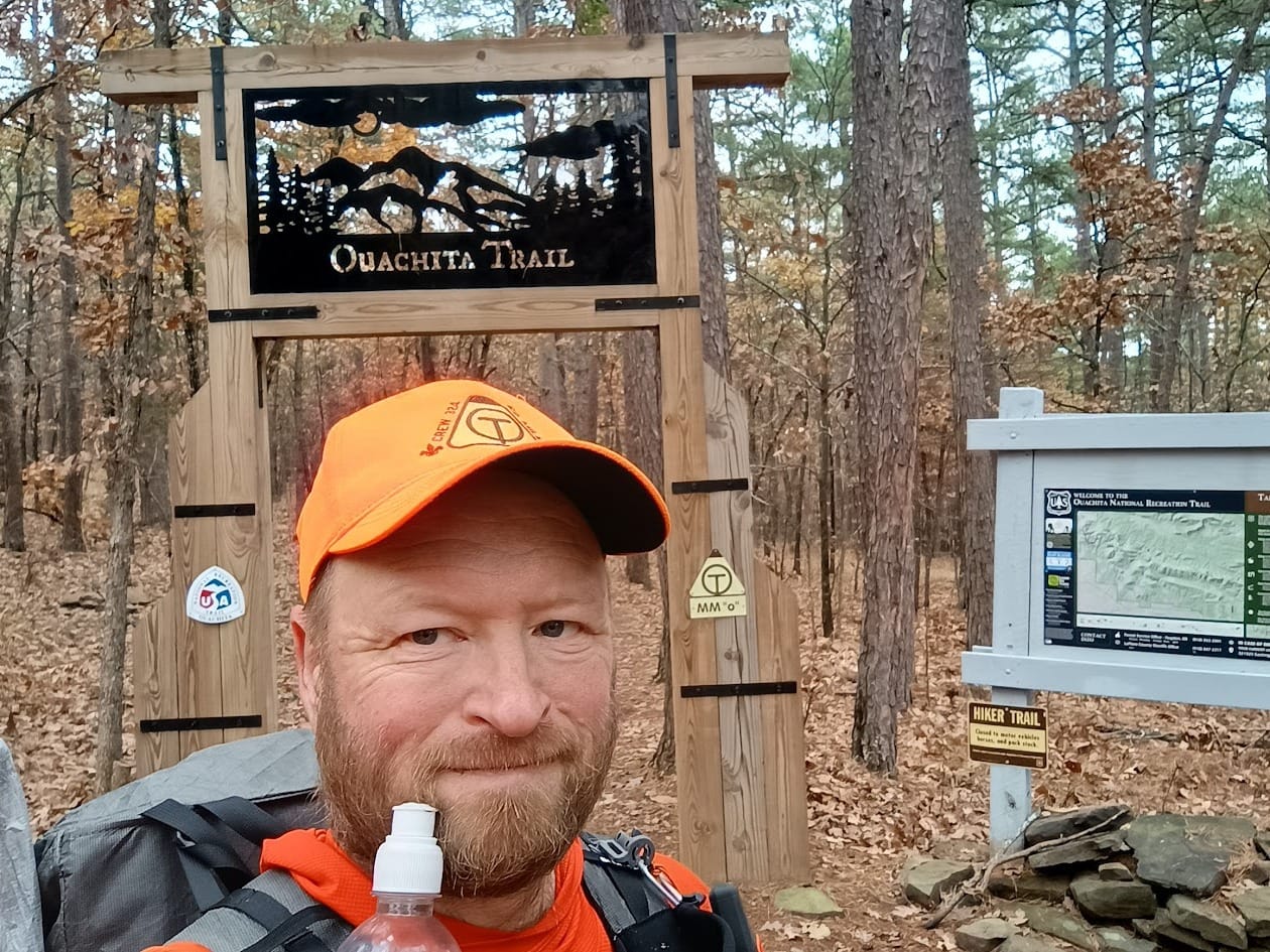
Ouachita Trail, Part Deux
If you're a follower of this blog, you might recall this post detailing my sort-of-failed attempt to thru hike the OT in 2024. I say "sort-of-failed" because I finished the trail, I just didn't complete it. To quickly summarize, 2024's attempt was broken into 2 parts. The first 60 miles I would do immediately before Thanksgiving with San Antonio Venture Crew 324 (a Scouting unit.) I would drive home, spend Thanksgiving with my wife, then immediately drive right back to Arkansas to pick up where I left off then complete the trail (another 160 miles.) Well, there was an injury on day 2 of the Scout's portion, which nixed completion of 45 of the 60 miles. However, I returned after Thanksgiving to start where part 1 should have finished and completed the other 160 miles.
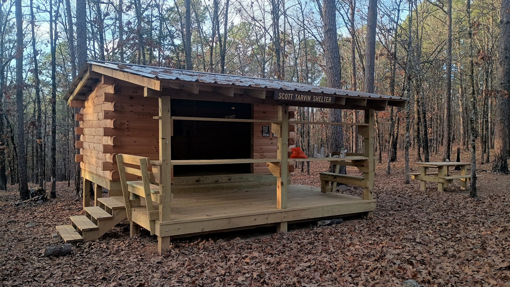
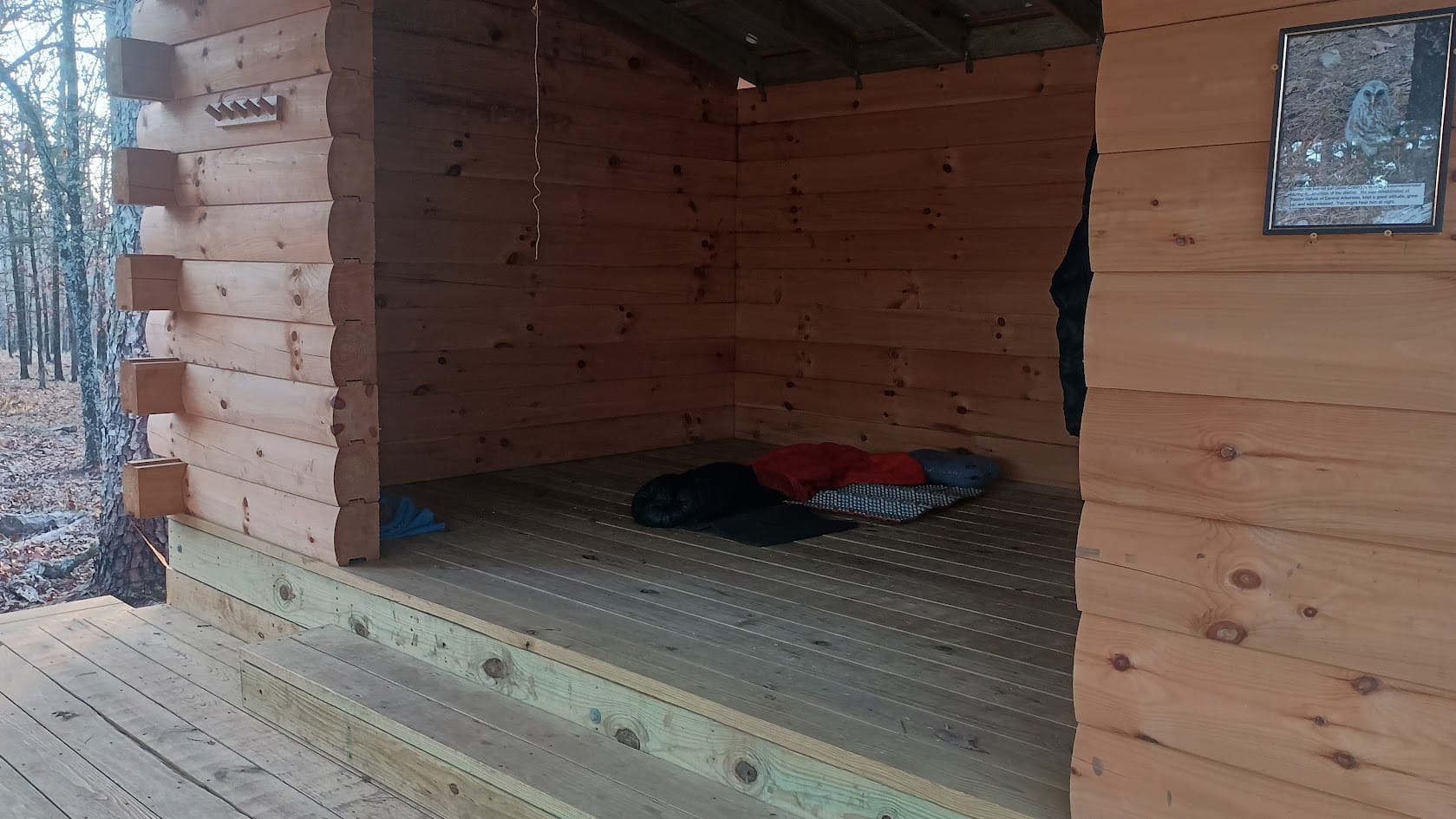
Serendipitously in the intervening year the volunteer organization that supports the trail (FoOT, or Friends of the Ouachita Trail) solved one of the logistical issues that has long plagued the OT: there were no shelters for the eastern-most 33.5 miles. There was one campsite (Penny) 14.5 miles from the eastern end, but it was still more than a mile off trail. To resolve this obstacle, FoOT built one completely new shelter (Scott Tarvin - at MM 210.2) and acquired/repurposed a hunting camp (Red Bluff Creek shelter - at MM196.2).
Day 1: Pinnacle Mountain State Park to Scott Tavin Shelter, 12.3 miles, 1364' climb.
Day 2: Scott Tavin Shelter to Red Bluff Creek camp. 13.3 miles, 971' climb.
Day 3: Red Bluff Creek camp to Brown Creek Shelter, including North Fork Pinnacle. 13.3 miles, 2367' climb
Day 4: Brown Creek Shelter to Oak Mountain Shelter, including Flatside Pinnacle. 15 miles, 3082' climb.
Day 5: Oak Mountain Shelter to Arkansas Route 7 trailhead. 7 miles, 900' climb.
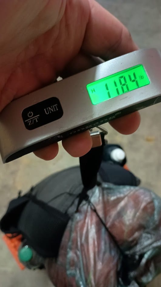
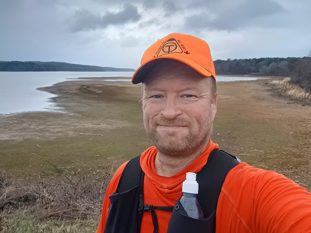
When I did the western 160 miles in 2024 I was supremely impressed with the OT shelter design and condition. Since this trip I was planning on staying in a shelter every night, I decided not bring a tent. Given that, this seemed like the perfect trip to give SUL, or Super Ultralight, a try: I was aiming for a "base weight" of 5 pounds or less.
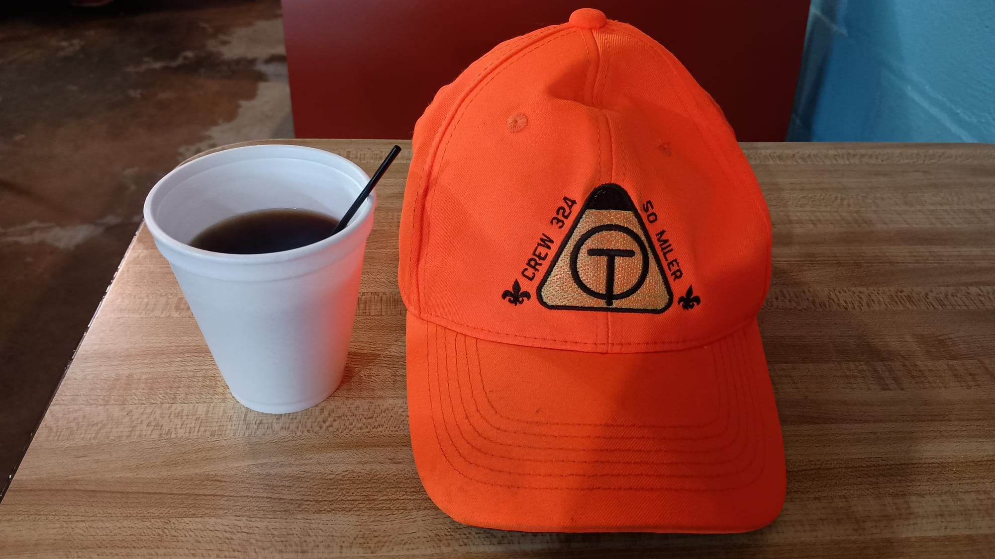
Super Ultralight
If you've been following this blog for a while you're likely to know the lengths I have gone to in order to optimize and cut grams. I have evolved from UL to SUL, taking up making some of my own gear in the process. I've gone from the staple UL canister stove, to another technology all together (Esbit with a Caldera Cone and Gram Cracker stove) to pushing that to the maximum with the Caldera Keg. I've replaced toothpaste with toothpaste tabs and become an aficionado for different brands of this obscure product, and taken the plunge into using a bidet rather than toilet paper. I eclipsed being a gram-weenie, to be a tenths-of-gram-weenie with my scale (which helped me discover that MYOG bags out of 0.56 OSY ripstop nylon are actually lighter than Ziploc bags!) I've obsessed about every possible gram, including having a pack custom made to push this to the limit. I've entertained this obsession for quite some time, shaving ever smaller amounts of weight, but I rarely have put all these unhinged spreadsheet machinations to the test. Until now.
For this trip I would put it all together. Furthermore I would do it at a time of year that requires some cold-weather planning. I hemmed-and-hawed on r/ultralight for months, going back and forth with other redditors to scrutinize and debate every gram. In the end, some things worked well, others did not. My actual base weight came in at 4.59 pounds.
Winners and Losers
I wrote up a rather lengthy summary of what gear did and didn't work and published that in a trip report on r/Ultralight. While I won't repeat that here, I will echo a couple of key take-aways. The MVP for this trip was my Timmermade SDUL 1.5 down puffy. If I were to do it again I would make the following changes: (1) Fix the holes in my Uberlight short and bring it instead of the Nemo Switchback (+2.6 grams), or splurge and bring my Thermarest Woment’s Xlite (+174 grams.) (2) Swap out the Attom Tech battery for a Nitecore NB10000 (+88.4 grams). (3) Swap out the Smartwool beanie for my wife’s Katabatic down balaclava (+33 grams). (4) Omit the Nylofume pack liner (-26 grams.) Omit the Ombroz sunglases (-26.1 grams.) (5) Add a second Liteload towel (+17 grams). Total: 89 or 260 grams addition. If I splurged and went with the heavier Xlite, I would have come in at 5.15 pounds. If had gone with the Uberlite it would have been 4.77 pounds. Either way I would have been more comfortable. Lesson learned.
Final thoughts section from r/ultralight post
The OT is not difficult – at least not in comparison to others I've hiked. It’s a good trail for October thru April. Water management is a concern. NFS sign boards and Far Out water source comments were critical for me. Depending on recent weather, you need to take water planning seriously. Thankfully there are trail angels who often cache water along the trail for hikers, but you can’t plan on it. Cell phone coverage varies depending on location on the trail. Some places have full coverage. Others have none. Logistical considerations are also something for anyone contemplating the trail. The two pointers I can give for resupply are coordinating with the Queen Wilhelmina Lodge at mile marker ~52, and the Blue Bell Café in Story, AR, approximately 5 miles off the trail on Highway 27, which is slightly past the halfway point west-to-east. There are a couple of different shuttle services (one for the Eastern end, another for the Western end) but Lori at the Blue Bell can shuttle for the entire trail. She’s also really good about having you park your car behind the café so it’s safe during your trip.
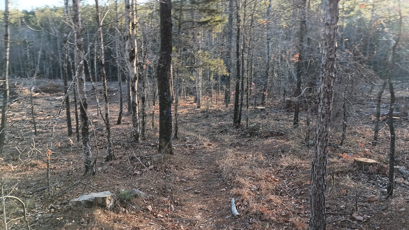
One of the challenges in winter months is one's ability to read trail-sign. Once the leaves have fallen, and until they have been sufficiently trampled to make the path obvious, you will need to observe sometimes subtle clues to find the trail. It’s blazed in blue paint, but those blazes are sometimes weathered/hard to find/often are too far apart. Thankfully both GaiaGPS and Far Out are quite accurate and can guide you back to the trail if (inevitably when) you get off if it. You’ll also develop the ability to “feel” the trail with your feet. The trail is firm, even when covered by leaves. Get off the trail by a foot or two and the accumulated dander is considerably softer. The trail is rocky in many parts, and sometimes the accumulated leaves hide rocks, making ankle twisting a constant threat. This is not a trail where you can let your eyes wander while walking. And finally, there are green thorny vine things that typically hide to grab your ankles and poke you. I would not hike this in shorts.
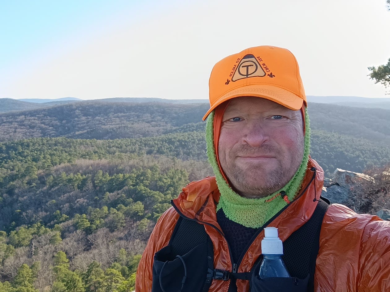
And now to what you came for - Pictures (and more words.)
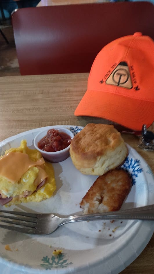
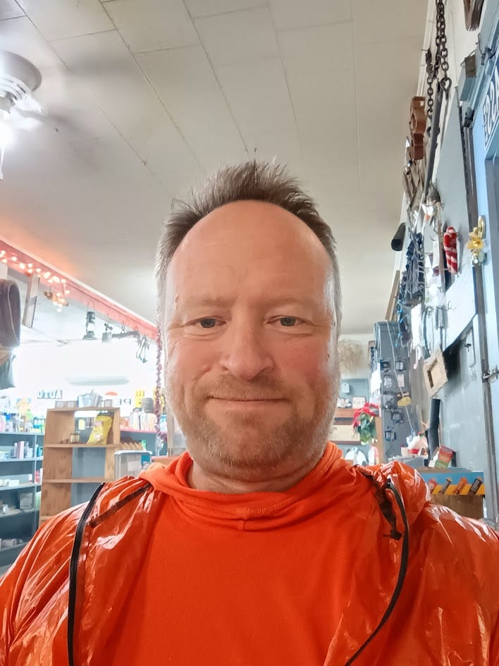
As noted above, the Blue Bell Cafe in Story, Arkansas is the one-stop-shop for coordinating logistics. Besides coordinating hiker resupplies, it's proprietor (Lori) offers shuttle service for the entire trail - all the way from Talamenia to Pinnacle - and she will let you park your car behind the cafe while on trail to prevent vandalism. I stayed in the parking lot behind the cave 12/26, had one of Lori's famous omelets the next morning, then had her drive me to the trailhead at Pinnacle Mountain State Park.

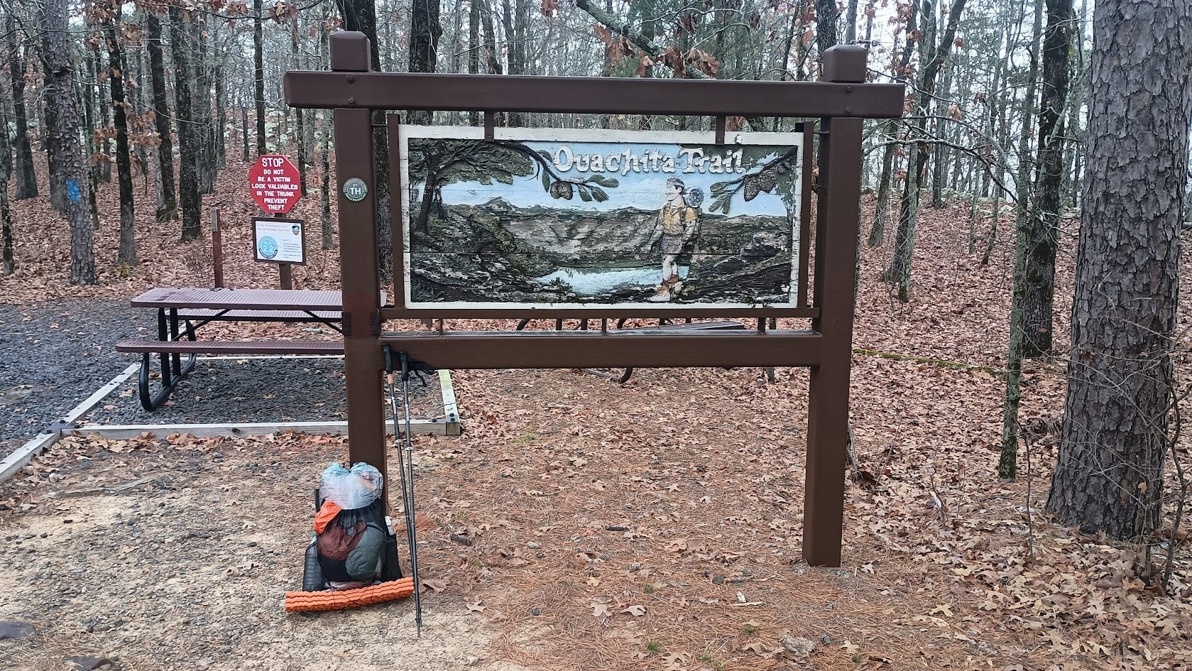
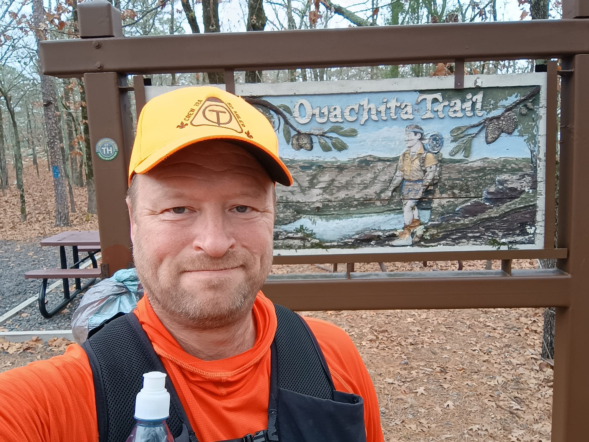
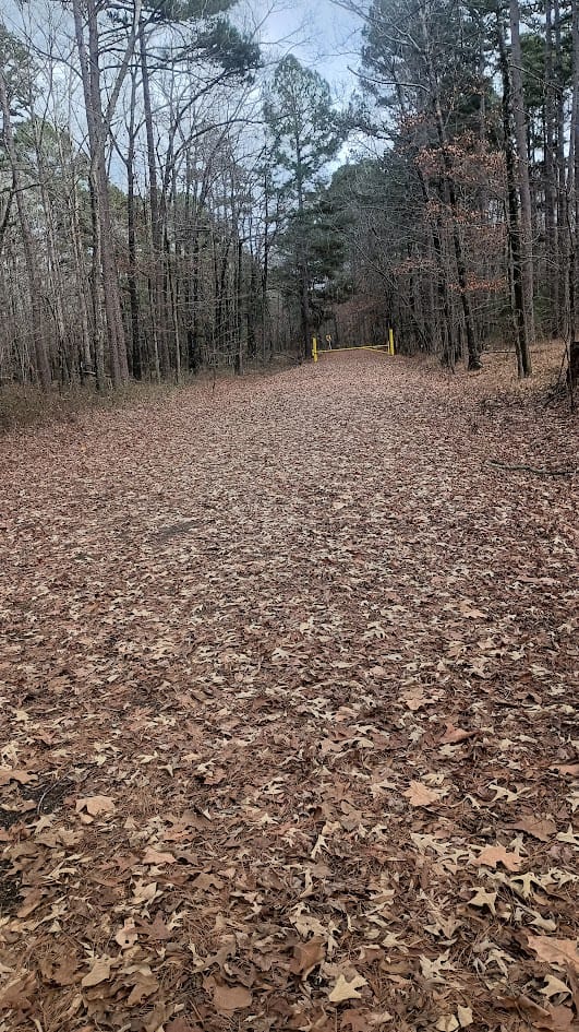
It was a misty/foggy morning. I had planned to go up Pinnacle Mountain before leaving the park, but the mist/fog made that pointless, so I skipped it. I retraced the steps that the Scout crew did last year, recognizing many of the same places. It was interesting seeing it in daylight - much less difficult since I wasn't stumbling over every root and rock. I was surprised just how far we managed to nite hike last year.
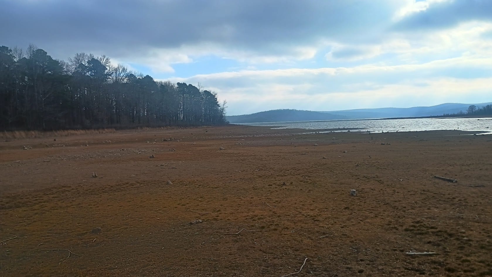
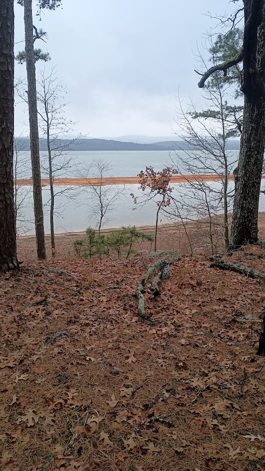
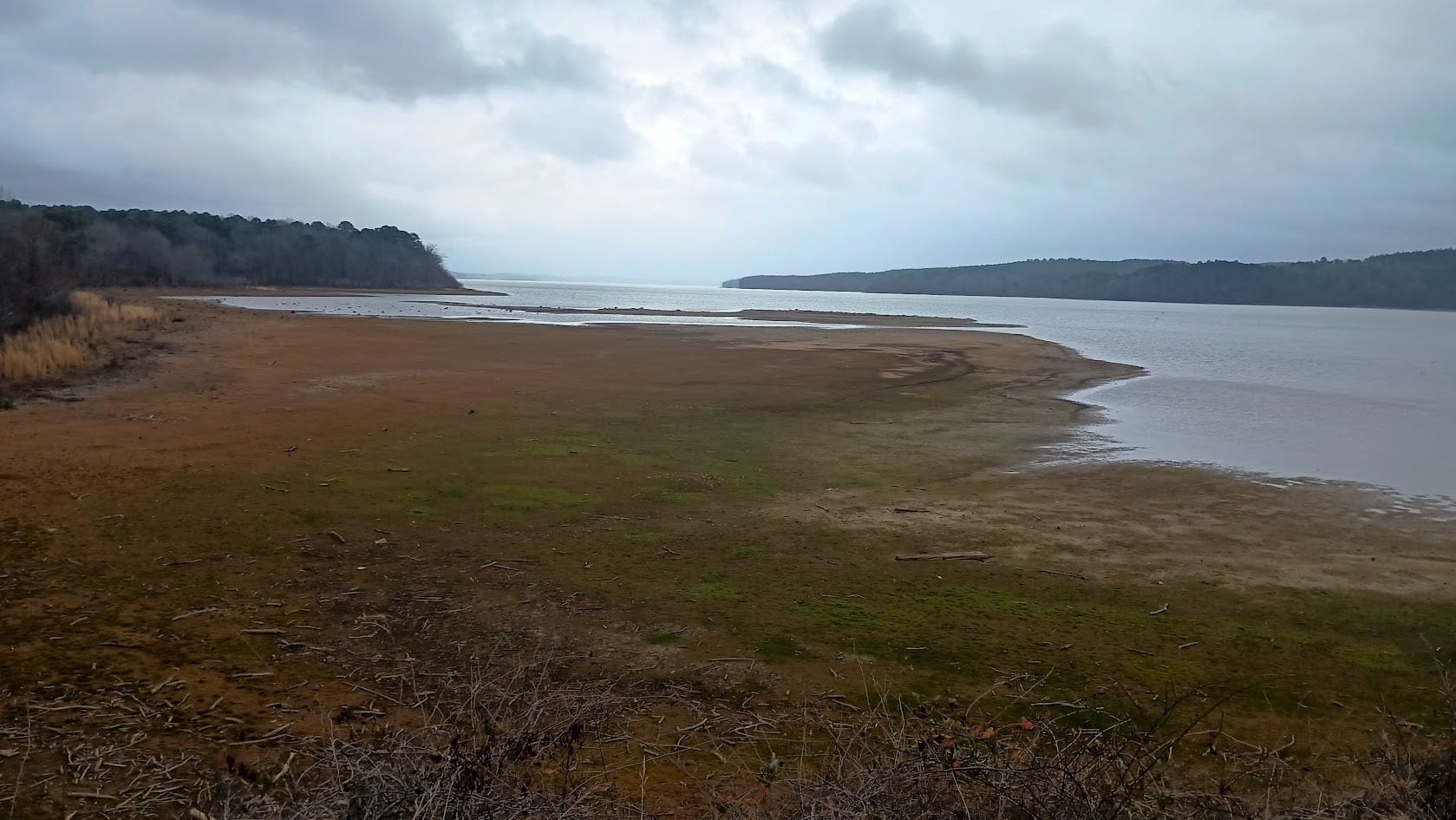
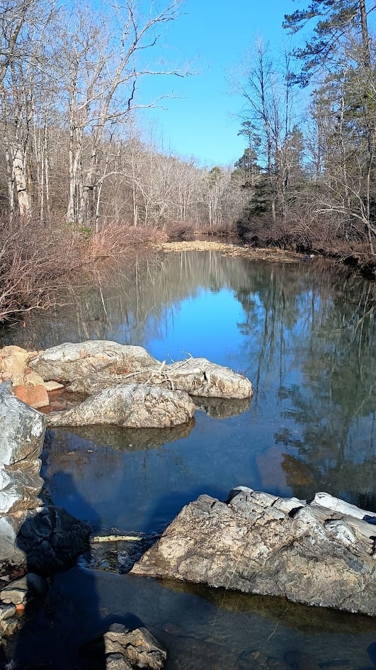
One thing I found interesting was just how dry the trail was. Places full of water last year that were bone dry. I had been planning on refilling at one of them, and actually ran out of water on day 1. I had to filter out of the lake that first night. The lake level was quite low. This area I'm standing in when I took this picture was probably all underwater last year.
Anyway, I found the new shelter (Scott Tarvin) to be beautiful. Brand-e-new.
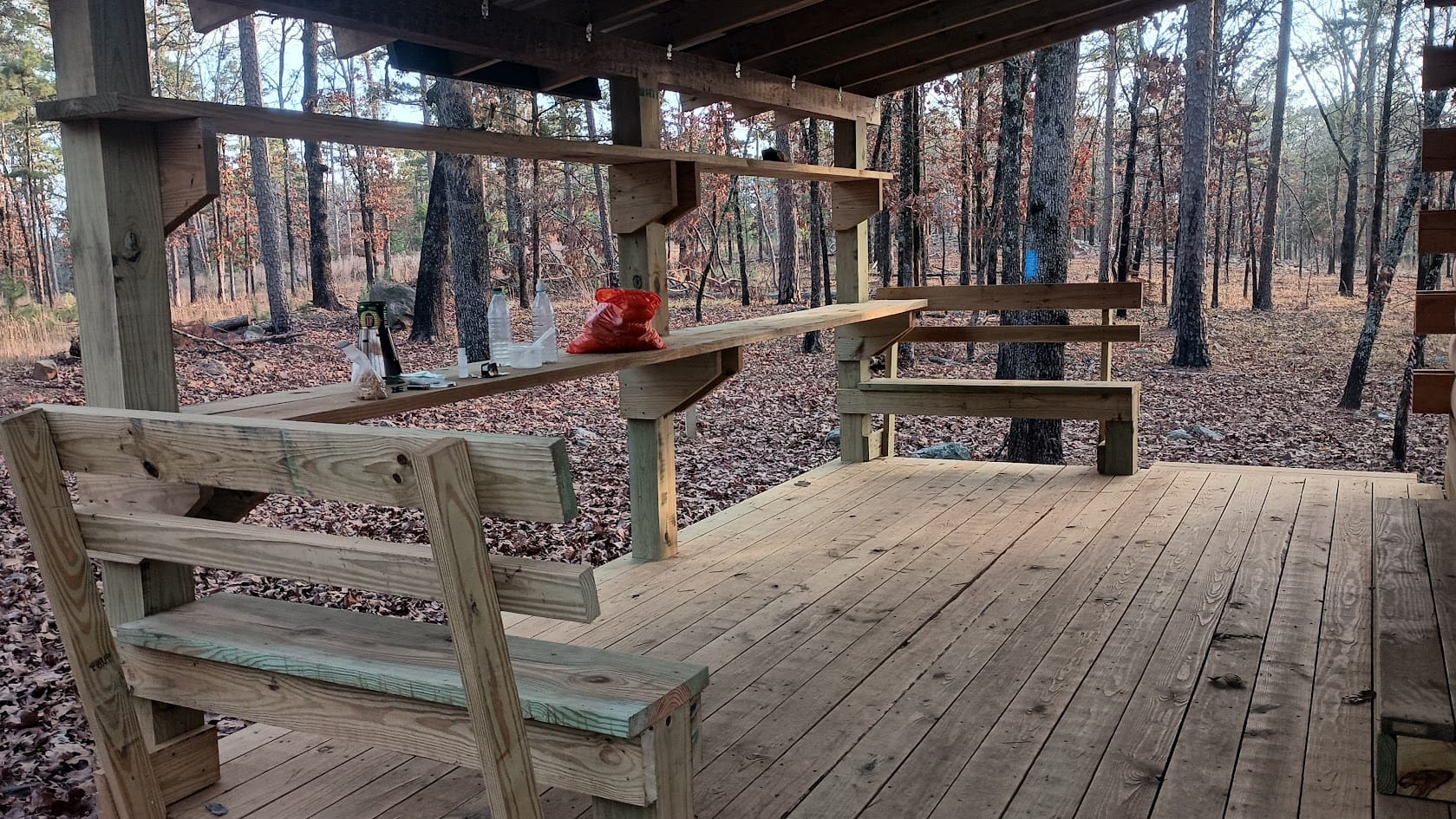
And I found someone at FoOT has a sense of humor. Yeah, I misread that the first time too.
It was quite warm and humid on day 1 and it never really got cold that night. I remember lying, in my underwear, without the quilt, and being comfortable all night.
The next day I continued on down the trail, recognizing the spot where the Scout turned his ankle last year, before passing the famed sawdust pile again (featured in nearly every YouTube video.)
And passing nice vistas of the lake
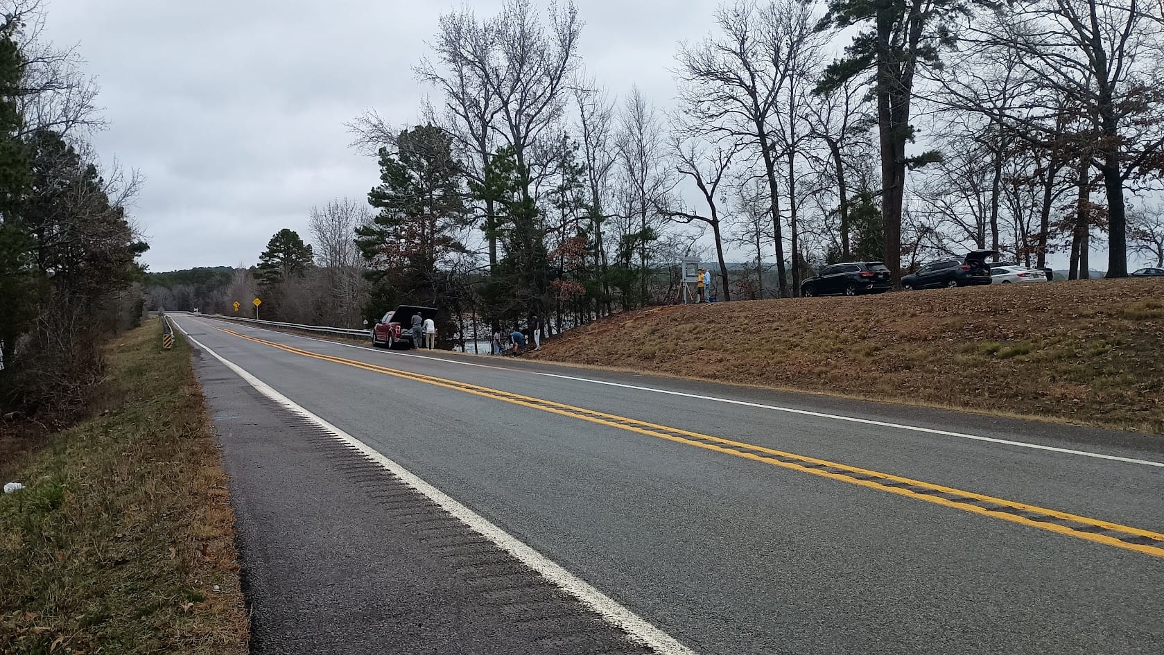
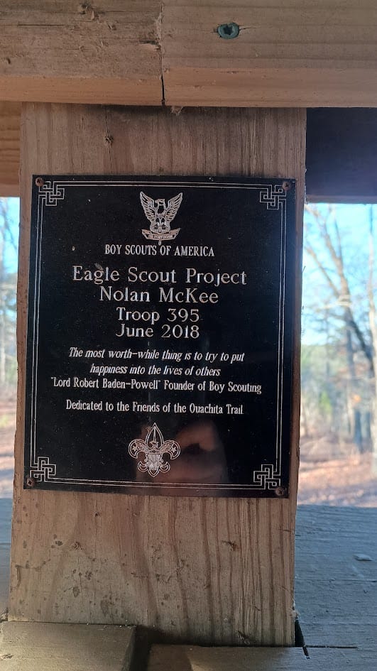
As I finished crossing the bridge/dam, I noticed a crew of youth working on a stone walkway from the trailhead parking lot to the road. An Eagle project in inquired? Yep.
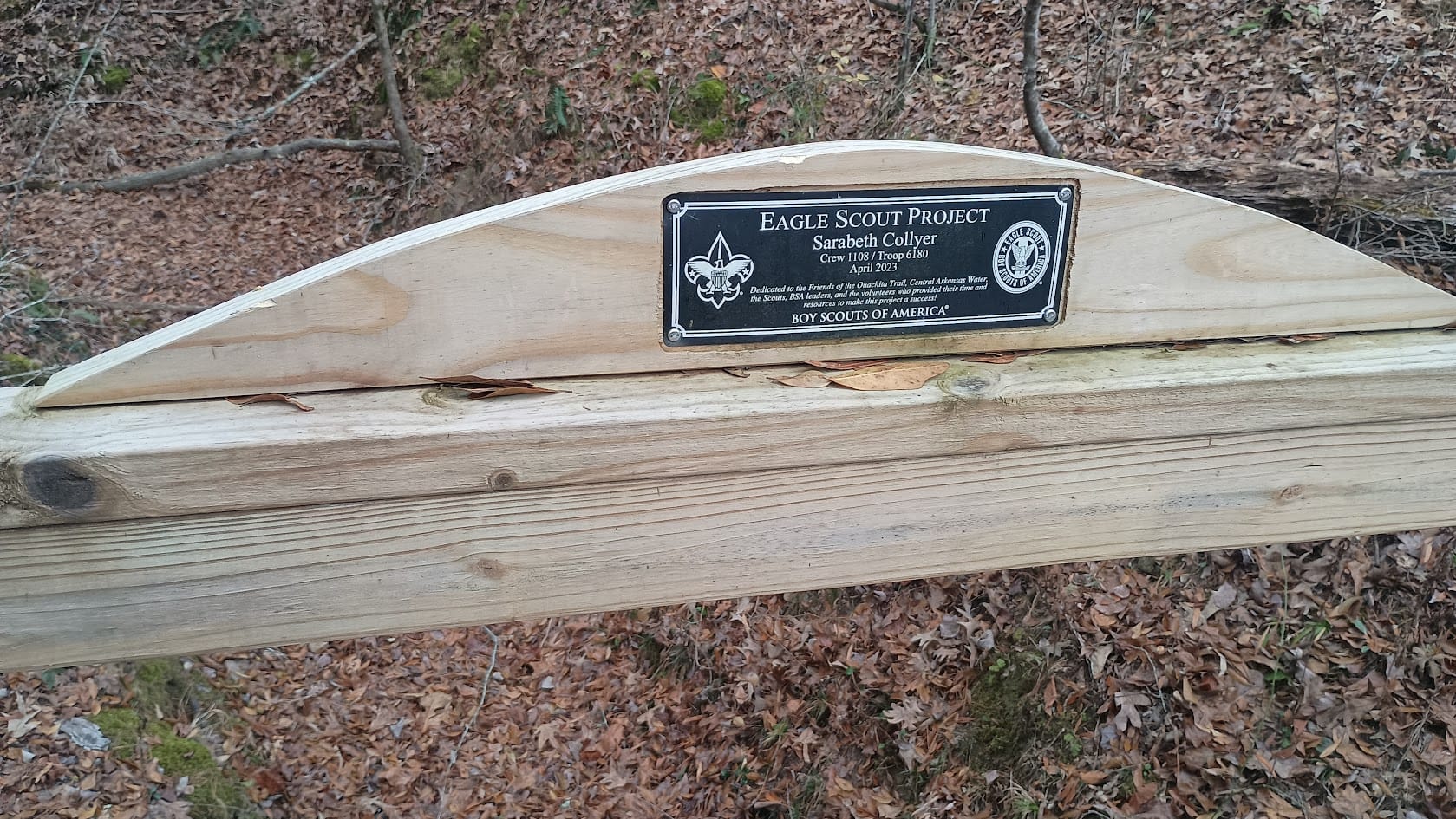
Anyway, not long after reentering the woods I came across a nice bridge
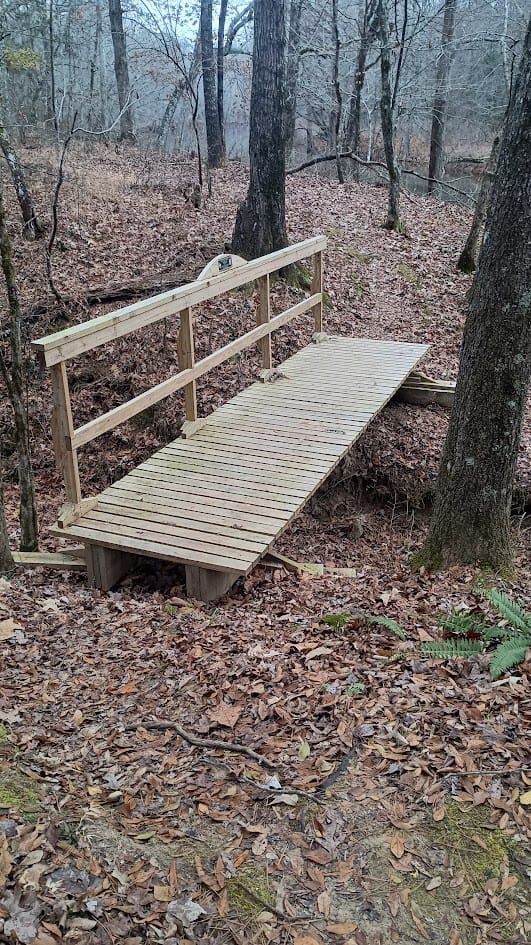
Which bore this plaque. I strongly approve! I approve of Scouts doing trail improvements as Eagle projects.
A few miles of flat walking, followed by some topography, yielded this sign, which amused me enough to take a picture of it. It wasn't lying. It got steep!

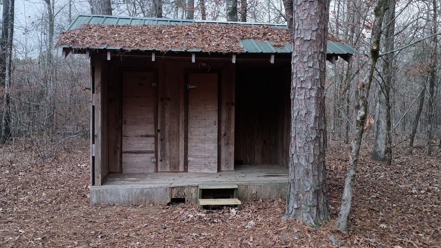
Eventually I reached Red Bluff Creek Shelter (a converted hunting camp.) FoOT has done a lot of work to it, and it was comfortable. It's got some mildew issues (odor), but has the only privy on the trail. I've mentioned to FoOT multiple times how now that they've finished building all the shelters, they really need to focus on privies.
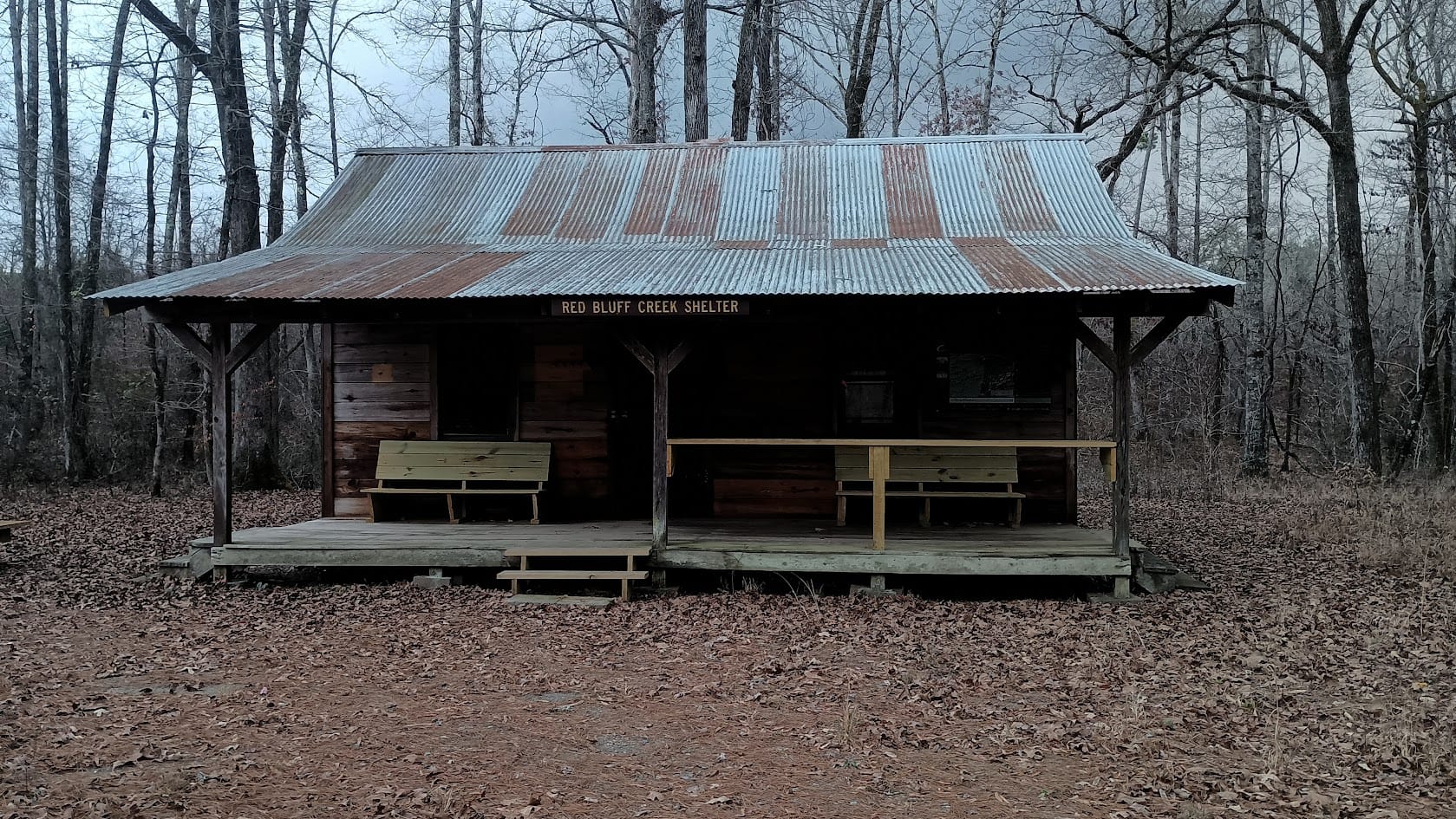
The weather forecast indicated it would be unseasonably warm on days 1 and 2, with a front moving in the afternoon of day 2 and temperatures dropping after that. The forecast was spot-on. I sat on the porch and enjoyed watching the storm roll in. It was super windy, and stayed so until about 2 AM. The temperature dropped drastically: it was 67 before the storm, and in the mid 40s afterward. By morning it was 35.
Day 3 was cold all day long. The afternoon high was 39, and the wind never subsided. Cresting the ridge at Nancy Mountain Shelter was downright uncomfortable. I was glad that I had brought my Zpacks rain mitts: they made an effective wind break for my hands. I did not linger at Nancy Mountain shelter - I ate and scooted along, eager to get off the top of the ridge and out of the wind.
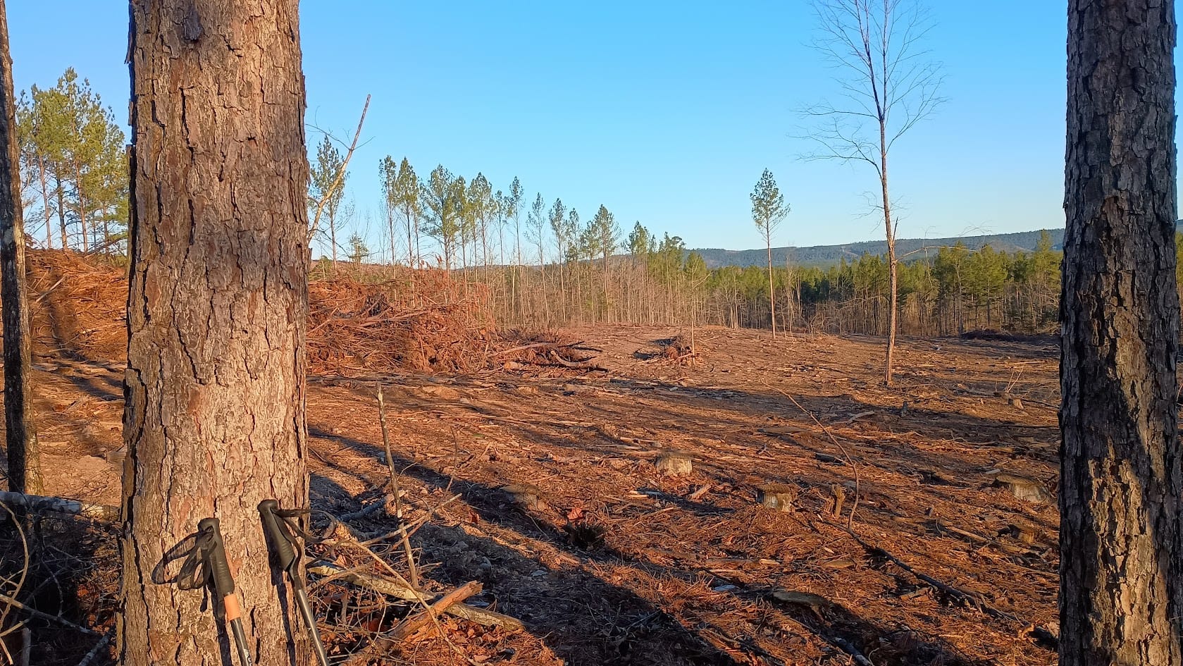
The OT crossed a clear-cut area between Nancy Mountain shelter and the Route 9 crossing. Thankfully the landowner left a ribbon of trees, approximately 20 feet wide, for the trail. It's actually quite easy to see where the trail goes in this photo: it's that line of orphan trees on the left side!
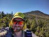
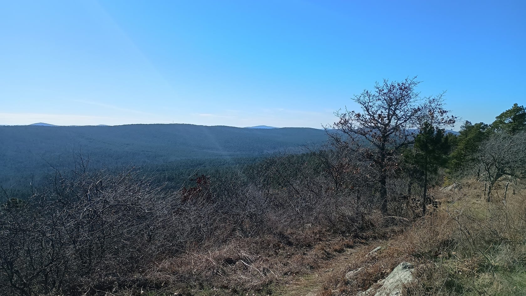
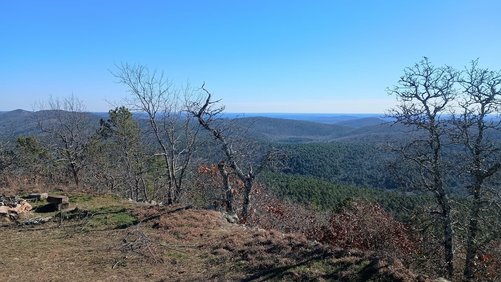
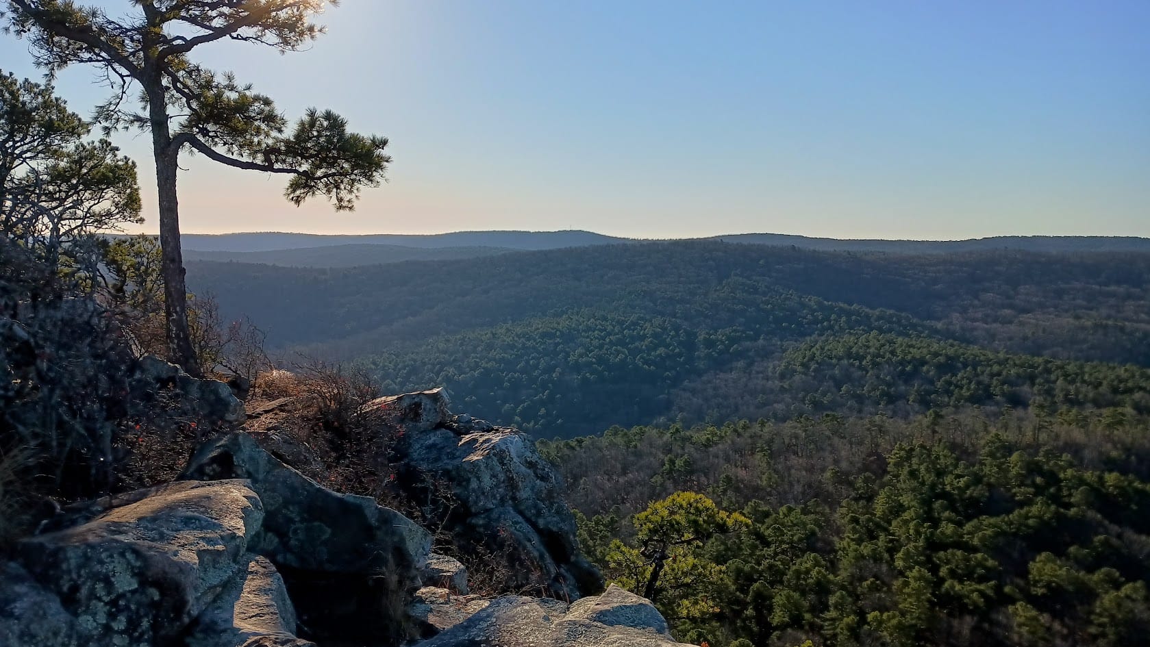
The big vista on day 3 was the South Fork Pinnacle, which bore the foundations of an old fire tower.
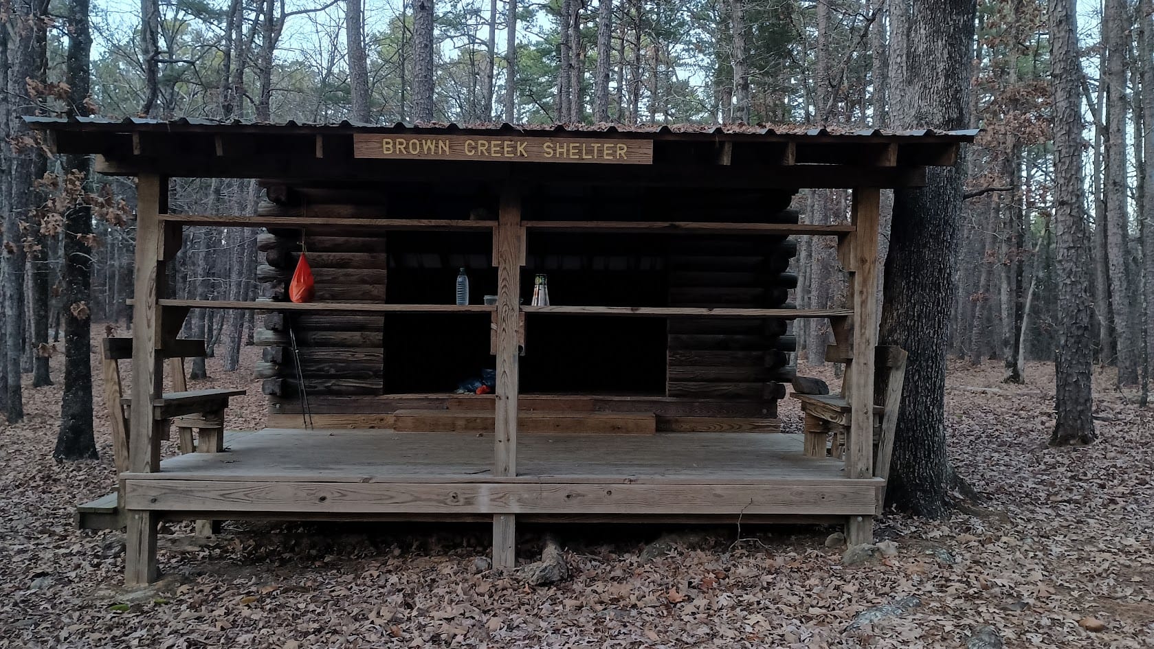
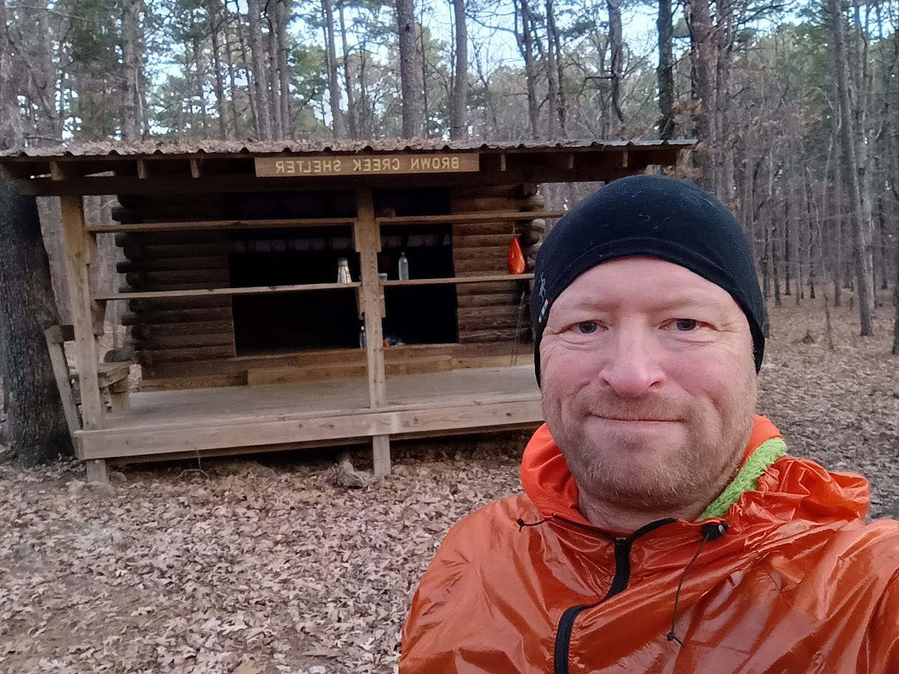
The end of the day brought me to Brown Creek Shelter. It's a nice one, again with a floor, and the water for it was plentiful. Unfortunately, Brown Creek was 1/2 mile and 500 vertical feet back. I wished I had brought my 37 gram 2.5 liter Platypus water bottle with me. After dinner I had to trudge back down the hill to refill for breakfast and the next day. Oh well. for SUL you trade convenience for weight.
As I said, the high on day 3 was only 39 degrees. That night it got quite cold.
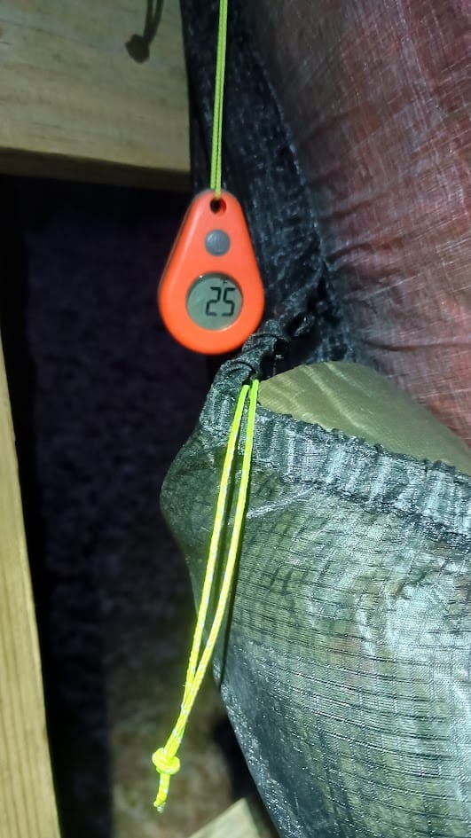
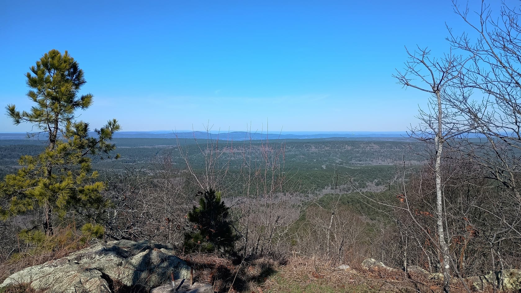
Early-ish the next morning, while it was still 25 degrees, I summited "Flatside Pinnacle." Not as beautiful as it was last year at sunrise, but very nice just the same.
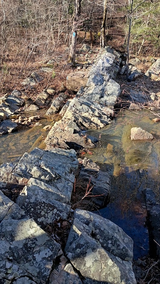
A few miles later I tanked up at a stream Far Out called "reliable", meaning that it flows year round. This is Crystal Prong - I recognized it from YouTube videos that showed crossing it after big rains - a harrowing experience to be sure. Since water was scarce on this trip I made sure to drink a liter here and fill everything up before proceeding.
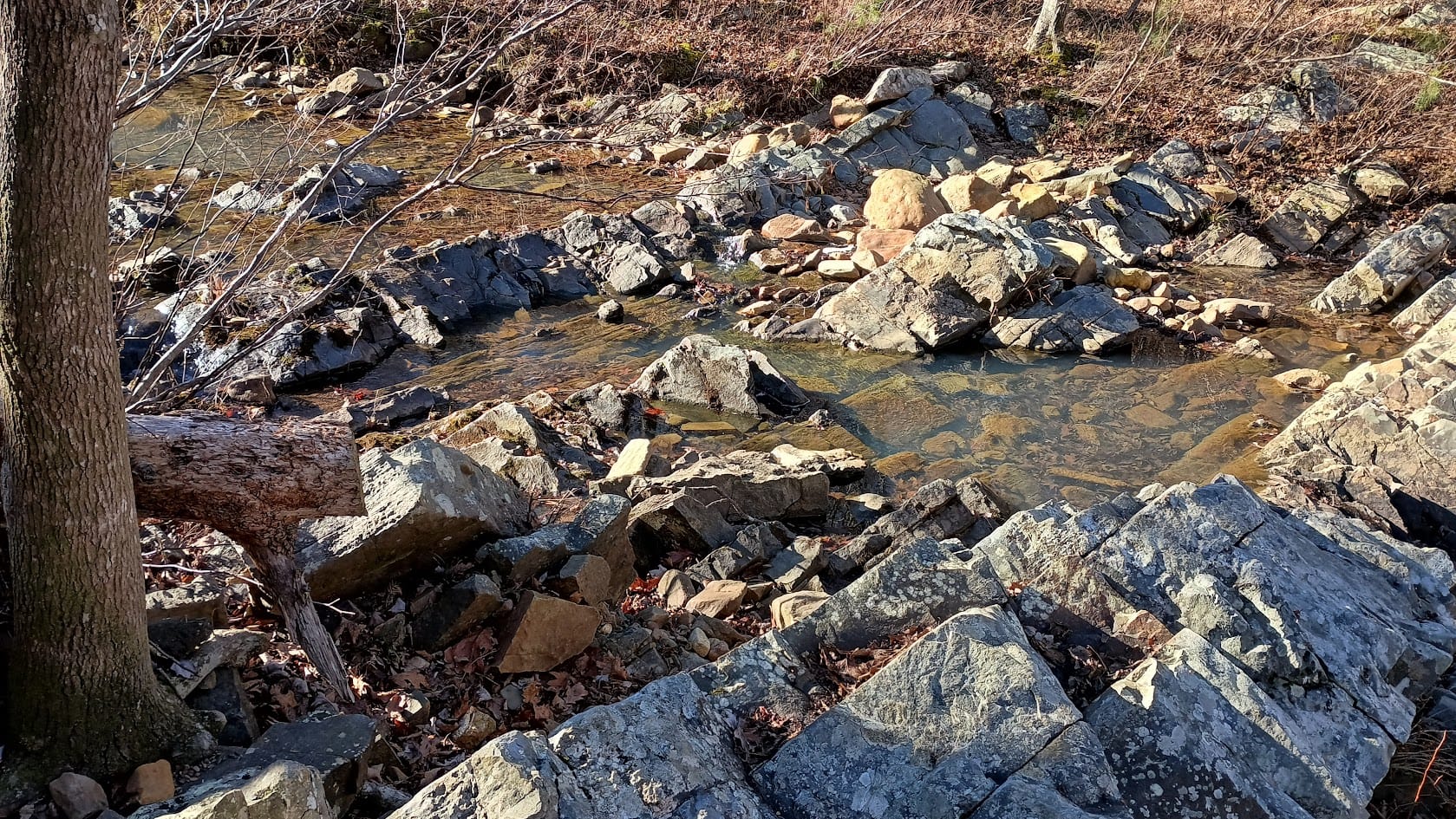
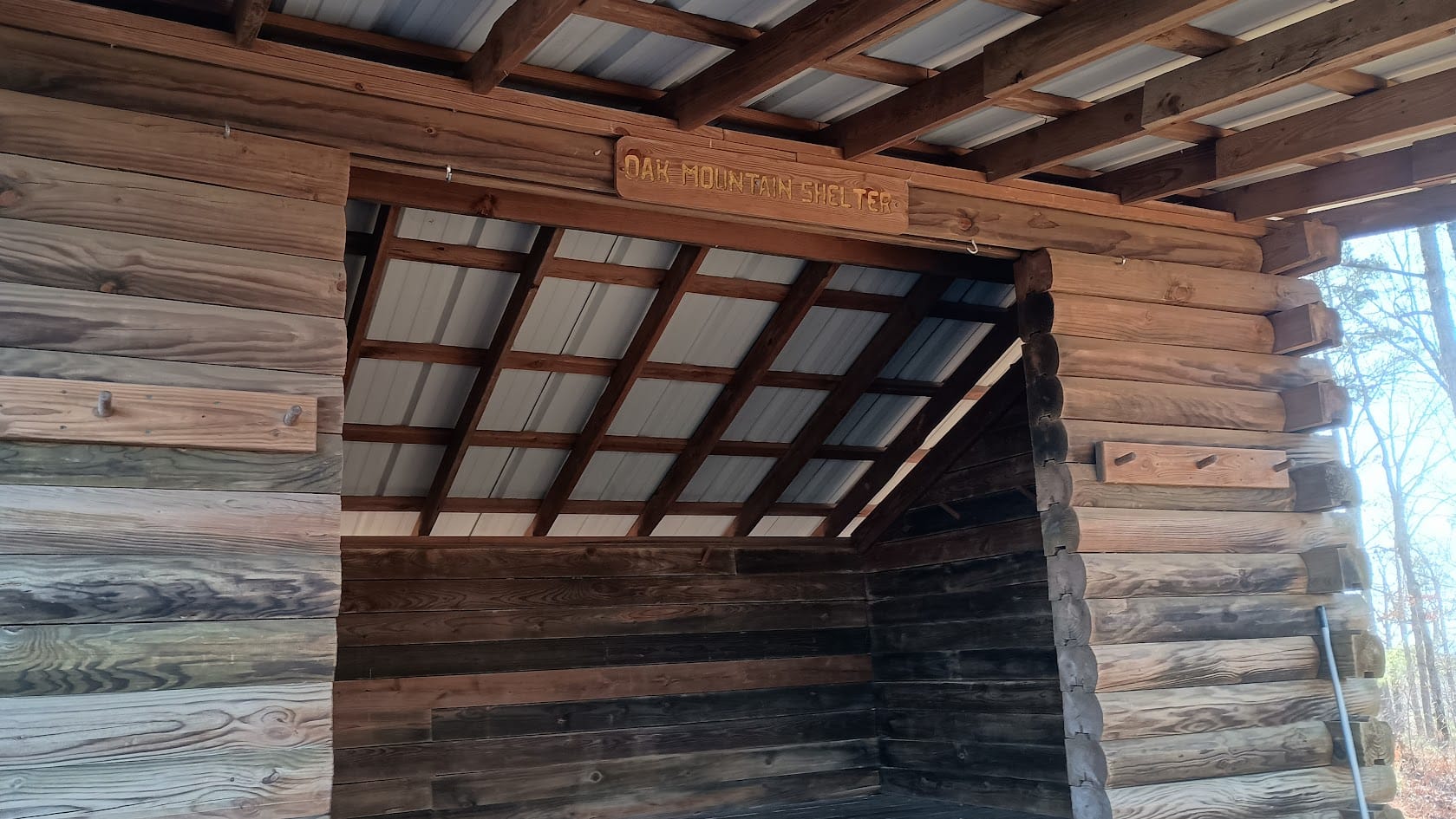
About 11 AM that morning I came across another stream, in a very pretty section of the "Flatside Wilderness." I sat in the middle of the trail, next to that stream, and ate my lunch. The stream was cascading down rocks in a canyon. It just seemed like the right place for lunch. Very peaceful. Shortly after I got back on the trail again I came across 3 of the only 5 people I saw on trail this entire trip: a father with his two teenage sons. They were section hiking from AR 298 to AR 9. They had stayed at Oak Mountain Shelter the night before (where I was headed that day) and headed to Brown Creek Shelter that night. I had a good time chatting with them, especially about the difficulty in following the trail in sections ahead. We traded a few stories before I was back on my way. The trail was indeed difficult to follow in spots. Eventually I arrived at Oak Mountain Shelter.
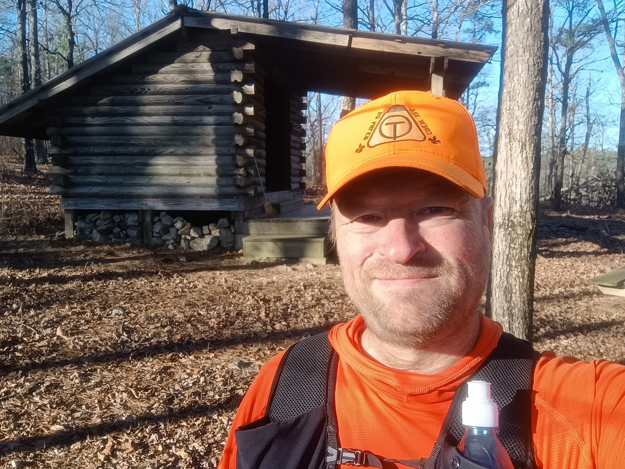
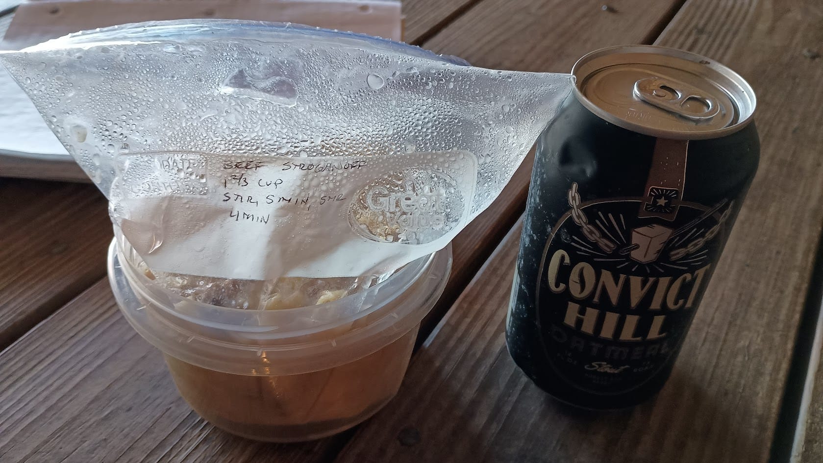
My pack was very light at this point with only one dinner, one breakfast, and one snack left. Throughout this trip I was treated to decent writeups in log books at each shelter. While I only saw 5 people on trail, log books indicated that I narrowly missed others. (The fire pits at both Red Bluff Creek and Brown Creek shelters were still hot/smoldering from the occupants the previous nights.) The father and sons I met did not sign into the log book in Oak Mountain shelter. I'm kind of glad they neglected to because a trail angel had left a beer in the log book box - an oatmeal stout. I treated myself to it with dinner as a celebration of my last night on trail. It was darn tasty!
I was rationing battery power pretty seriously at this point in the trip, so I don't have any pictures of the remainder of the trip. I had booked an 11:30 pickup time at the Route 7 trail head. I arrived approximately 10:45. Lori was on time picking me up. After the jovial conversation on the drive back to Story, AR, I enjoyed one of her famous burgers before hitting the road for the drive home.
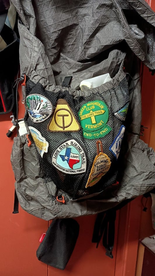
And with that, I've finished the trail. A sense of accomplishment for sure. I'm having Ms. English make me an "end-to-end" rocker to supplement the patch on my Durston pack "brag rag."
Keep Hiking My Friends